
Barstow in San Bernardino County, California — The American West (Pacific Coastal)
Mojave Riverbed Trail
Photographed by Craig Baker, October 31, 2020
1. Mojave Riverbed Trail Marker
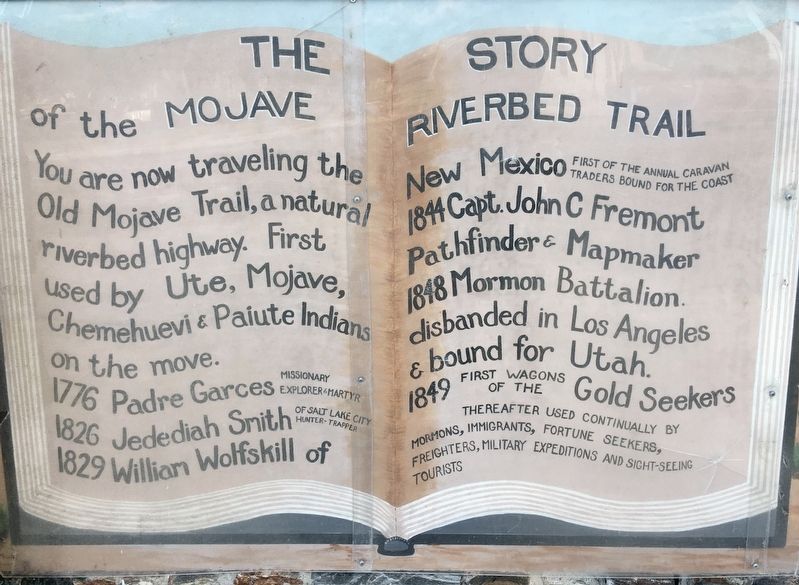
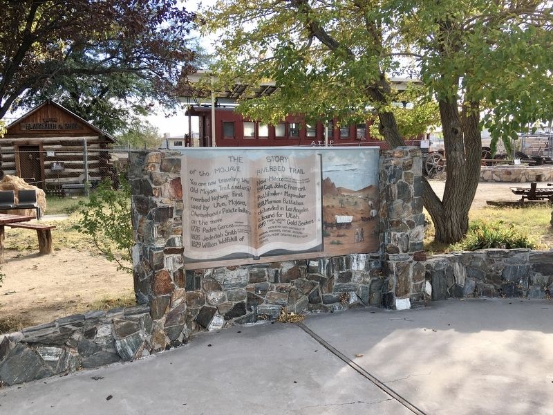
You are now traveling the Old Mojave Trail, a natural riverbed highway. First used by Ute, Mojave, Chemehuevi & Paiute Indians on the move.
1776 Padre Garces - missionary, explorer & martyr.
1826 Jedediah Smith - of Salt Lake City, hunter-trapper.
1829 William Wolfskill of New Mexico - first of the annual caravan traders bound for the coast.
1844 Capt. John C Fremont - pathfinder & mapmaker.
1848 Mormon Battalion - disbanded in Los Angeles & bound for Utah.
1849 First wagons of the gold seekers.
Thereafter used continually by Mormons, immigrants, fortune seekers, freighters, military expeditions and sight-seeing tourists.
Erected 1965 by Barstow Woman’s Club.
Topics. This historical marker is listed in these topic lists: Exploration • Indigenous Peoples and Communities • Industry & Commerce • Roads & Vehicles.
Location. 34° 53.28′ N, 117° 1.393′ W. Marker is in Barstow, California, in San Bernardino County. It is at the intersection of Virginia Way and Barstow Road, on the left when traveling west on Virginia Way. Touch for map.
this page online

Regionally, this marker is in Greater Los Angeles, in the Mojave Desert, in the Peninsular Ranges, and specifically in the Transverse Ranges. It is also in the American Southwest. Globally, it is in North America, on the Ring of Fire, in the Pacific Rim, in the Western Hemisphere, in the Western World, and in the Anglosphere. Historically, it finds itself in what was once New Spain and also Mexico’s Alta California.
Other nearby markers. At least 8 other markers are within walking distance of this marker: Log Cabin (a few steps from this marker); The Old Spanish Trail (within shouting distance of this marker); Father Garces (approx. ¾ mile away); The California Gold Rush (approx. ¾ mile away); John Charles Fremont (approx. ¾ mile away); Jedediah Smith (approx. ¾ mile away); Kit Carson (approx. ¾ mile away); General Steven Watts Kearny (approx. ¾ mile away). Touch for a list and map of all markers in Barstow.
Photographed by Craig Baker, October 31, 2020
2. Mojave Riverbed Trail Marker
Photographed by Craig Baker, April 24, 2024
3. Second Panel
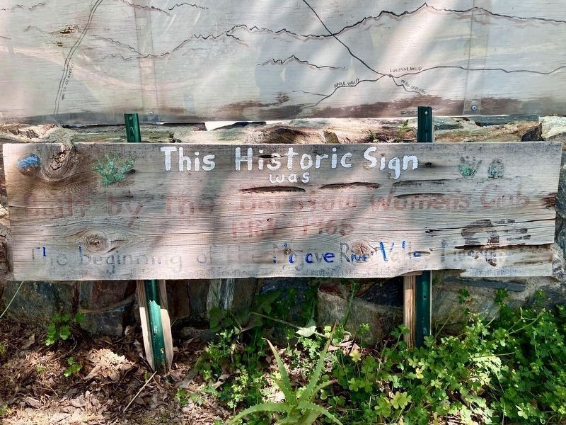
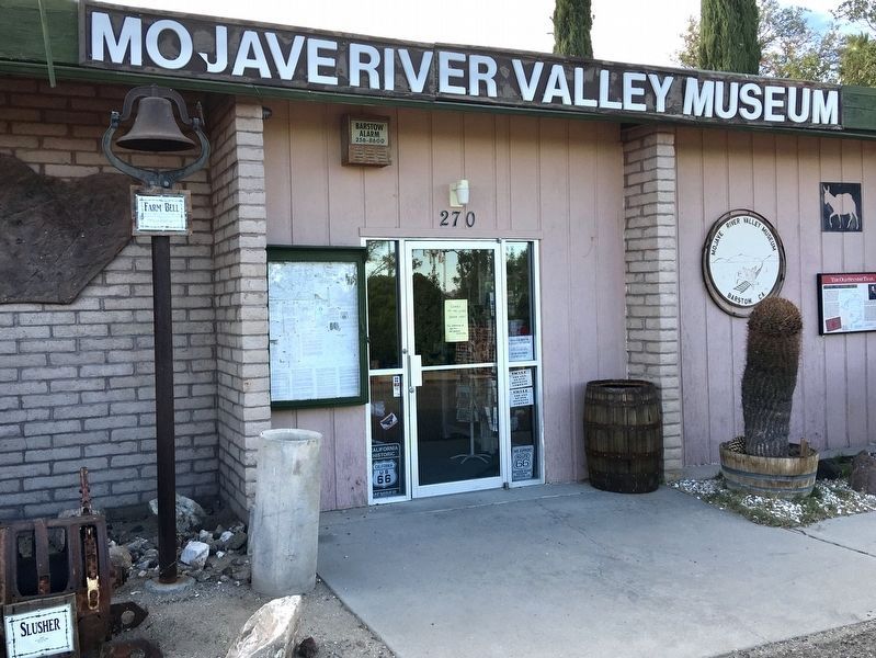
“This historic sign was built by the Barstow Woman’s Club, 1964-1965, the beginning of the Mojave River Valley Museum.”
Photographed by Craig Baker, October 31, 2020
4. Mojave River Valley Museum
Museum website homepage:
Click for more information.
Click for more information.
Credits. This page was last revised on September 19, 2025. It was originally submitted on March 27, 2021, by Craig Baker of Sylmar, California. This page has been viewed 473 times since then and 31 times this year. Last updated on August 22, 2023, by Carl Gordon Moore Jr. of North East, Maryland. Photos: 1, 2. submitted on March 27, 2021, by Craig Baker of Sylmar, California. 3. submitted on April 24, 2024, by Craig Baker of Sylmar, California. 4. submitted on March 27, 2021, by Craig Baker of Sylmar, California. • J. Makali Bruton was the editor who published this page.
