Montague in Sussex County, New Jersey — The American Northeast (Mid-Atlantic)
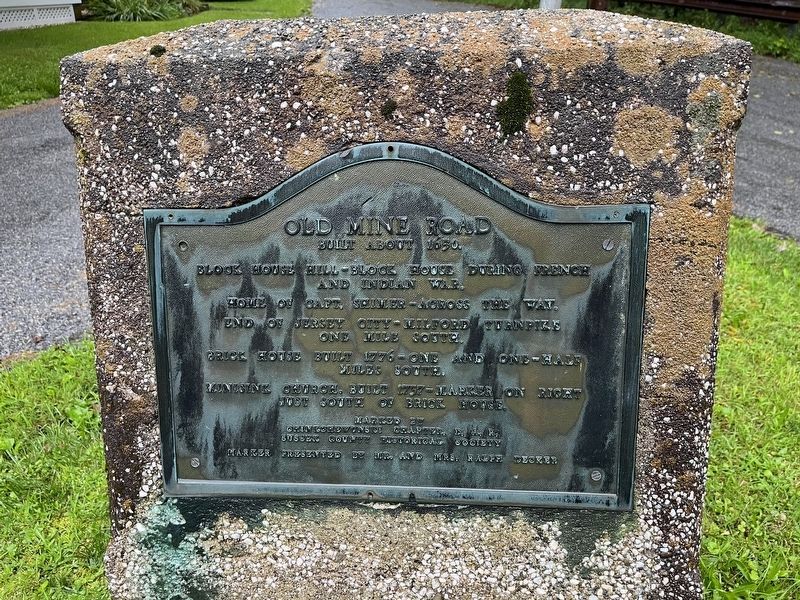
Old Mine Road
Built about 1650.
Block House Hill - Block house during French and Indian War.
Home of Capt. Shimer - across this way.
End of Jersey City-Milford Turnpike one mile south.
Brick House built 1776 - one and one-half miles south.
Minisink Church, built 1737 - marker on right just south of brick house.
Erected by Chinkohewunski Chapter, D.A.R.; Sussex County Historical Society; presented by Mr. and Mrs. Ralph Decker.
Topics and series. This historical marker is listed in these topic lists: Churches & Religion • Colonial Era • Roads & Vehicles • War, French and Indian. In addition, it is included in the Daughters of the American Revolution series list. A significant historical year for this entry is 1650.
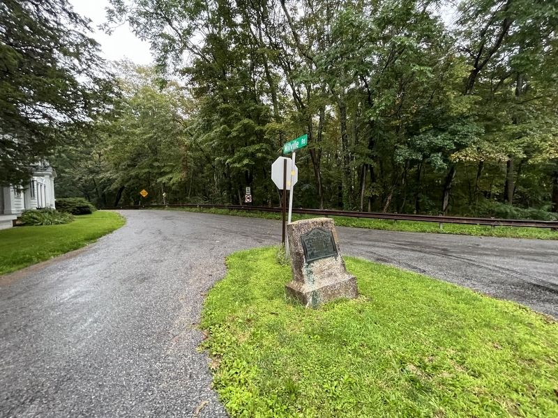
Location. 41° 18.799′ N, 74° 46.787′ W. Marker is in Montague, New Jersey, in Sussex County. Marker is at the intersection of Millville Road and River Road (County Route 521), in the median on Millville Road. Touch for map. Marker is at or near this postal address: 2 Millville Rd, Montague NJ 07827, United States of America. Touch for directions.
Other nearby markers. At least 8 other markers are within 2 miles of this marker, measured as the crow flies. Millville Historic District (about 400 feet away, measured in a direct line); a different marker also named Millville Historic District (approx. half a mile away); Metz Ice Plant c. 1869 (approx. one mile away in Pennsylvania); Gifford Pinchot (approx. 1.1 miles away in Pennsylvania); Brick House Village (approx. 1.1 miles away); Pennsylvania (approx. 1.2 miles away in Pennsylvania); Reverend Vincent J. Mahon (approx. 1.2 miles away in Pennsylvania); Milford United Methodist Church (approx. 1.2 miles away in Pennsylvania). Touch for a list and map of all markers in Montague.
Credits. This page was last revised on August 27, 2023. It was originally submitted on August 27, 2023, by Devry Becker Jones of Washington, District of Columbia. This page has been viewed 78 times since then and 32 times this year. Photos: 1, 2. submitted on August 27, 2023, by Devry Becker Jones of Washington, District of Columbia.

