Delaware Township in Dingmans Ferry in Pike County, Pennsylvania — The American Northeast (Mid-Atlantic)
Dingmans Ferry
Delaware Water Gap National Recreation Area
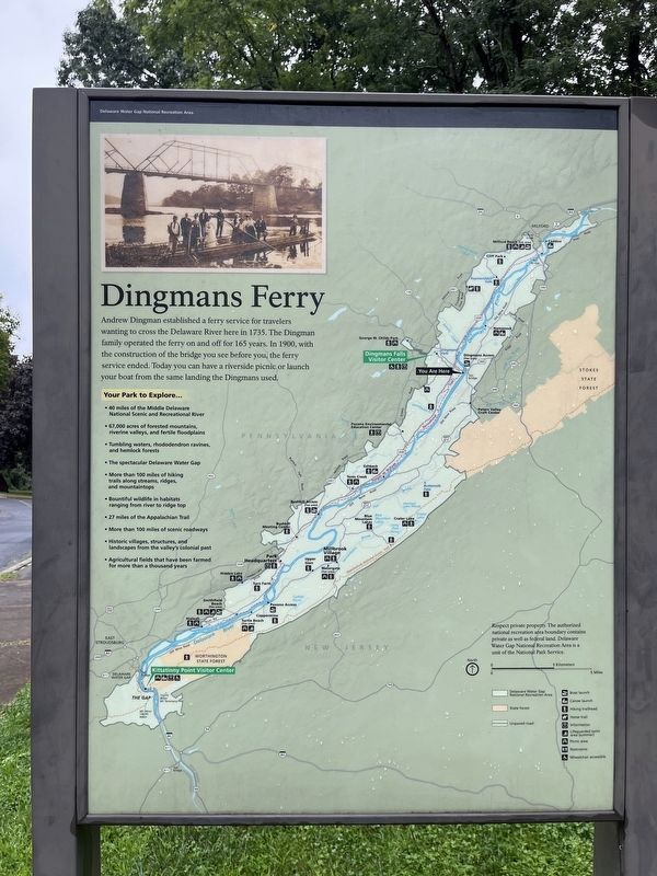
Andrew Dingman established a ferry service for travelers wanting to cross the Delaware River here in 1735. The Dingman family operated the ferry on and off for 165 years. In 1900, with the construction of the bridge you see before you, the ferry service ended. Today you can have a riverside picnic or launch your boat from the same landing the Dingmans used.
Your Park to Explore…
• 40 miles of the Middle Delaware National Scenic and Recreational River
• 67,000 acres of forested mountains, riverine valleys, and fertile floodplains
• Tumbling waters, rhododendron ravines, and hemlock forests
• The spectacular Delaware Water Gap
• More than 100 miles of hiking trails along streams, ridges, and mountaintops
• Bountiful wildlife in habitats ranging from river to ridge top
• 27 miles of the Appalachian Trial
• More than 100 miles of scenic roadways
• Historic villages, structures, and landscapes from the valley's colonial past
• Agricultural fields that have been farmed for more than a thousand years
Respect private property. The authorized national recreation area boundary includes private as well as federal land. Delaware Water Gap National Recreation Area is a unit of the National Park Service.
Erected by National Park Service, U.S. Department of the Interior.
Topics. This historical marker is listed in these topic lists: Colonial Era • Industry & Commerce • Parks & Recreational Areas • Waterways & Vessels. A significant historical year for this entry is 1735.
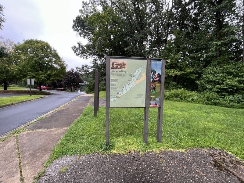
Location. 41° 13.139′ N, 74° 51.652′ W. Marker is in Dingmans Ferry, Pennsylvania, in Pike County. It is in Delaware Township. Marker is on Dignmans Turnpike (Pennsylvania Route 739) half a mile east of Dingmans Falls Road, on the right when traveling east. The marker stands on the grounds of the Dingmans Boat Launch. Touch for map. Marker is at or near this postal address: 2129 Dingmans Turnpike, Dingmans Ferry PA 18328, United States of America. Touch for directions.
Other nearby markers. At least 8 other markers are within 4 miles of this marker, measured as the crow flies. A different marker also named Dingman's Ferry (approx. 0.6 miles away); The Village of Bevans (approx. 0.7 miles away in New Jersey); Bevans, New Jersey (approx. 1.6 miles away in New Jersey); Layton, New Jersey (approx. 1.8 miles away in New Jersey); Harnessing the Creek (approx. 3.2 miles away); Roosevelt's Tree Army (approx. 3.2 miles away); Woodland Paradise (approx. 3.3 miles away); George W. Childs Park (approx. 3.3 miles away). Touch for a list and map of all markers in Dingmans Ferry.
Credits. This page was last revised on November 9, 2023. It was originally submitted on August 28, 2023, by Devry Becker Jones of Washington, District of Columbia. This page has been viewed 111 times since then and 56 times this year. Photos: 1, 2. submitted on August 28, 2023, by Devry Becker Jones of Washington, District of Columbia.

