Roseville Township near Paynesville in Kandiyohi County, Minnesota — The American Midwest (Upper Plains)
Threshing Crew Attacked
August 26, 2023
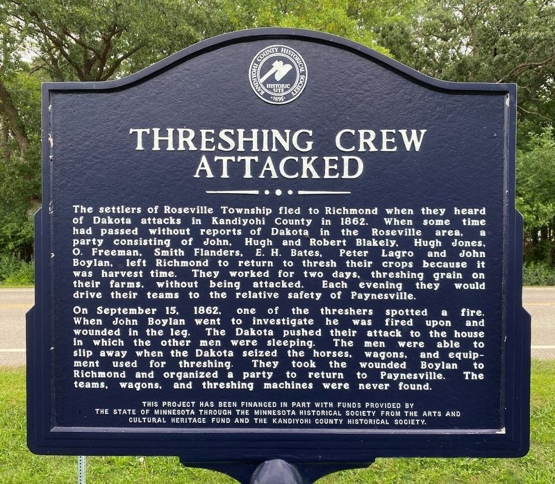
1. Threshing Crew Attacked Marker
On September 15, 1862, one of the threshers spotted a fire. When John Boylan went to investigate he was fired upon and wounded in the leg. The Dakota pushed their attack to the house in which the other men were sleeping. The men were able to slip away when the Dakota seized the horses, wagons, and equipment used for threshing. They took the wounded Boylan to Richmond and organized a party to return to Paynesville. The teams, wagons, and threshing machines were never found.
Erected by the State of Minnesota through the Minnesota Historical Society from the Arts
this page online
Topics. This historical marker is listed in these topic lists: Agriculture • Settlements & Settlers • Wars, US Indian. A significant historical date for this entry is September 15, 1862.
Location. 45° 21.444′ N, 94° 45.796′ W. Marker is near Paynesville, Minnesota, in Kandiyohi County. It is in Roseville Township. It is on Roseville Road Northeast 0.3 miles south of Highway 23 Northeast (Minnesota Highway 23), on the right when traveling south. Touch for map. Marker is at or near this postal address: 24143 Roseville Rd NE, Paynesville MN 56362, United States of America. Touch for directions.

Regionally, this marker is in Central Minnesota and specifically in Southwest Minnesota. It is also in the American Midwest and in the Corn Belt. Globally, it is in North America, the Western Hemisphere, the Western World, and the Anglosphere. Historically, it finds itself in what was once Rupert’s Land, the territory of the Mississippian Culture, and the Louisiana Purchase.
Other nearby markers. At least 8 other markers are within 10 miles of this marker, measured as
August 26, 2023
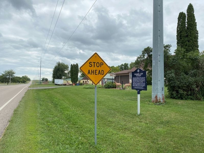
2. Threshing Crew Attacked Marker, from the north
Another marker is no longer nearby. Battle of the Broom (was approx. 3 miles away but has been confirmed missing).
August 26, 2023
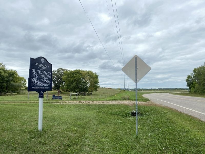
3. Threshing Crew Attacked Marker, from the south
Credits. This page was last revised on August 30, 2023. It was originally submitted on August 29, 2023. This page has been viewed 409 times since then and 39 times this year. Photos: 1, 2, 3. submitted on August 29, 2023.
