Parkin in Cross County, Arkansas — The American South (West South Central)
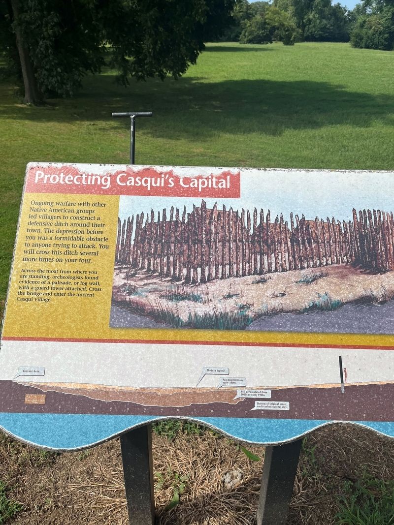
Protecting Casqui's Capital
Photographed by Thomas Smith, August 28, 2023
1. Protecting Casqui's Capital Marker
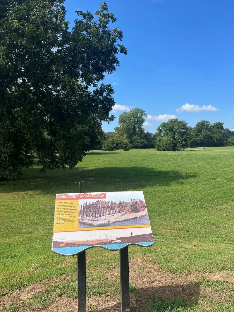
Ongoing warfare with other Native American groups led villagers to construct a defensive ditch around their town. The depression before you was a formidable obstacle to anyone trying to attack. You will cross this ditch several more times on your tour.
Across the moat from where you are standing, archeologists found evidence of a palisade, or log wall, with a guard tower attached. Cross the bridge and enter the ancient Casqui village.
Topics. This historical marker is listed in these topic lists: Anthropology & Archaeology • Forts and Castles • Indigenous Peoples and Communities.
Location. 35° 16.621′ N, 90° 33.289′ W. Marker is in Parkin, Arkansas, in Cross County. It is on State Highway 184 0.2 miles north of U.S.64, on the left when traveling north. Parkin Archeological State Park. Touch for map. Marker is at or near this postal address: 60 State Hwy 184, Parkin AR 72373, United States of America. Touch for directions.

Regionally, this marker is in Crowley’s Ridge, in the Mississippi Alluvial Plain, and in the Cherokee Heritage Region.
this page online
Other nearby markers. At least 8 other markers are within walking distance of this marker: The Sawdust Hill Community (here, next to this marker); Northeast Arkansas Discovery Tour (here, next to this marker); Mississippian Garden (within shouting distance of this marker); Welcome to the Village Trail (approx. ¼ mile away); A Hidden School Discovered (approx. ¼ mile away); Conducting the Research (approx. ¼ mile away); Class Is In Session (approx. ¼ mile away); The Northern Ohio School (approx. ¼ mile away). Touch for a list and map of all markers in Parkin.
Photographed by Thomas Smith, August 28, 2023
2. Protecting Casqui's Capital Marker
Credits. This page was last revised on August 31, 2023. It was originally submitted on August 30, 2023, by Thomas Smith of Waterloo, Ill. This page has been viewed 225 times since then and 27 times this year. Photos: 1, 2. submitted on August 30, 2023, by Thomas Smith of Waterloo, Ill. • Andrew Ruppenstein was the editor who published this page.
