Anderson in Madison County, Indiana — The American Midwest (Great Lakes)
Public Square
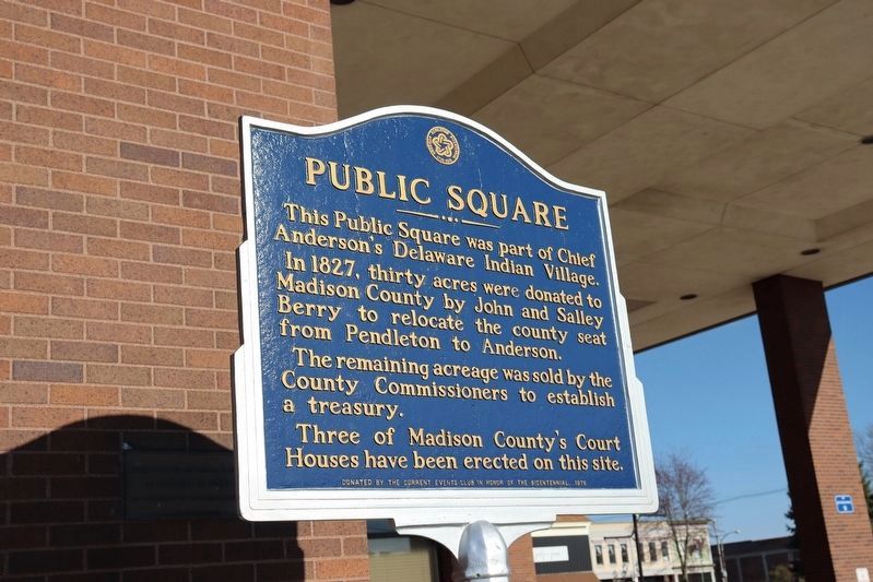
This Public Square was part of Chief Anderson's Delaware Indian Village. In 1827, thirty acres were donated to Madison County by John and Salley Berry to relocate the county seat from Pendleton to Anderson.
The remaining acreage was sold by the County Commissioners to establish a treasury.
Three of Madison County's Court Houses have been erected on this site.
Erected 1976 by the Current Events Club in Honor of the Bicentennial.
Topics. This historical marker is listed in these topic lists: Colonial Era • Native Americans • Political Subdivisions • Settlements & Settlers. A significant historical year for this entry is 1827.
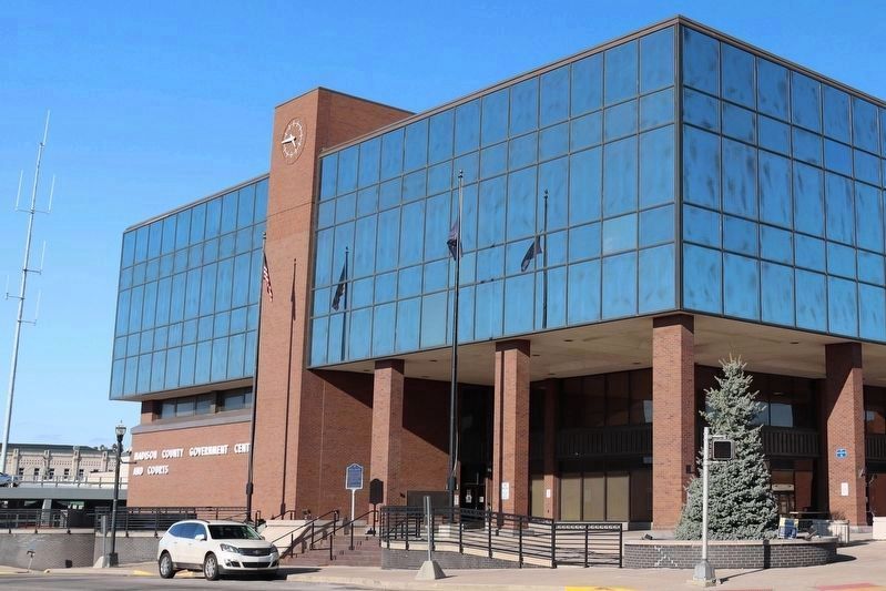
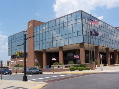
Location. 40° 6.432′ N, 85° 40.748′ W. Marker is in Anderson, Indiana, in Madison County. Marker is at the intersection of East 9th Street and Madison Street on East 9th Street. It sits in front of the Madison County Court House at the southwest corner of the square. Touch for map. Marker is at or near this postal address: 16 E 9th Street, Anderson IN 46016, United States of America. Touch for directions.
Other nearby markers. At least 5 other markers are within walking distance of this marker. Madison County Veterans' Memorial (about 400 feet away, measured in a direct line); Anderson Carnegie Library (about 500 feet away); Madison County Historic Home (approx. 0.2 miles away); Paramount Theatre (approx. 0.2 miles away); The First Methodist Church in Anderson Was Built Here (approx. 0.2 miles away). Touch for a list and map of all markers in Anderson.
Also see . . .
1. Anderson, Indiana. Wikipedia entry (Submitted on October 2, 2021, by Larry Gertner of New York, New York.)
2. Madison County, Indiana. Wikipedia entry (Submitted on October 2, 2021, by Larry Gertner of New York, New York.)
Credits. This page was last revised on April 1, 2024. It was originally submitted on April 7, 2006, by M. Bowyer of Indianapolis, Indiana. This page has been viewed 2,503 times since then and 18 times this year. Photos: 1. submitted on March 29, 2024, by Trevor L Whited of Kokomo, Indiana. 2. submitted on April 7, 2006, by M. Bowyer of Indianapolis, Indiana. 3. submitted on March 29, 2024, by Trevor L Whited of Kokomo, Indiana. 4. submitted on June 16, 2007, by M. Bowyer of Indianapolis, Indiana. • J. J. Prats was the editor who published this page.


