Mackinaw Township in Mackinaw City in Cheboygan County, Michigan — The American Midwest (Great Lakes)
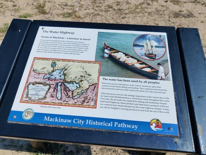
The Water Highway
Straits of Mackinac - a juncture in travel
Transportation through the Straits of Mackinac has changed dramatically over the centuries. The earliest inhabitants travelled by boat and found the Straits a convenient east-west highway linking the midwest of the North American continent to the Atlantic world by way of the St. Lawrence River. Once land transportation, in the form of railways and highways, became convenient the traffic patterns in the Straits swiveled to a north-south direction.
The water has been used by all peoples
Before the arrival of Europeans, some Native Americans spent their summers in the Straits fishing and trading. They explored and learned the interconnected waterways that could carry them far to the west and east.
When Europeans arrived, the strategic importance of the Great Lakes in the fur trade made Michilimackinac a well-known name throughout the world. Over time, the fur trade was replaced by fishing and lumbering. Despite land-based highways, these products and other heavy products of the last two centuries have found transport on the water highway cheaper. Today, you still see freighters carrying products to and from the rest of the world.
Caption 1744 Map of the Great Lakes
Erected 2021 by Mackinaw City Historical Pathway.
Topics. This historical marker is listed in these topic lists: Colonial Era • Native Americans • Settlements & Settlers • Waterways & Vessels.
Location. 45° 46.903′ N, 84° 43.511′ W. Marker is in Mackinaw City, Michigan, in Cheboygan County. It is in Mackinaw Township. Marker is on East Central Avenue. Touch for map. Marker is at or near this postal address: 401 E Central Ave, Mackinaw City MI 49701, United States of America. Touch for directions.
Other nearby markers. At least 8 other markers are within walking distance of this marker. The Dixie Highway (a few steps from this marker); a different marker also named The Dixie Highway (a few steps from this marker); Historic Mackinaw City (within shouting distance of this marker); Mackinaw City (within shouting distance of this marker); Iron Horse (within shouting distance of this marker); Chief Wawatam (within shouting distance of this marker); The Algomah (within shouting distance of this marker); Mackinaw, Mackinac or Michilimackinac? (within shouting distance of this marker). Touch for a list and map of all markers in Mackinaw City.
Credits. This page was last revised on September 14, 2023. It was originally submitted on September 6, 2023, by John Ridley of Chelsea, Michigan. This page has been viewed 45 times since then and 5 times this year. Photo 1. submitted on September 6, 2023, by John Ridley of Chelsea, Michigan. • J. Makali Bruton was the editor who published this page.
