Lincoln Township near Dolliver in Emmet County, Iowa — The American Midwest (Upper Plains)
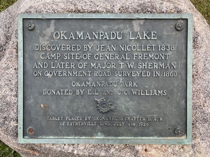
Okamanpadu Lake
Discovered by Jean Nicollet 1838
Camp site of General Fremont
and later of Major T. W. Sherman
on Government Road surveyed in 1860
Okamanpadu Park
Donated by E.L. and J.C. Williams
Tablet placed by Okomanpado Chapter D.A.R.
of Estherville, Iowa, July 4th, 1926
Erected 1926 by Okomanpado Chapter D.A.R. of Estherville, Iowa.
Topics and series. This historical marker is listed in these topic lists: Exploration • Parks & Recreational Areas • War, US Civil • Waterways & Vessels. In addition, it is included in the Daughters of the American Revolution series list. A significant historical year for this entry is 1838.
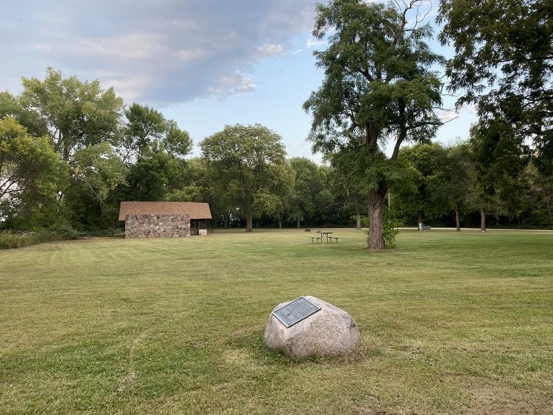
Location. 43° 29.383′ N, 94° 34.888′ W. Marker is near Dolliver, Iowa, in Emmet County. It is in Lincoln Township. Marker can be reached from Tuttle Lake Road, 0.2 miles north of 110th Street (County Highway A13), on the left when traveling north. Located near the entrance to Okamanpedan State Park. Touch for map. Marker is at or near this postal address: 5118 Tuttle Lake Rd, Dolliver IA 50531, United States of America. Touch for directions.
Other nearby markers. At least 8 other markers are within 13 miles of this marker, measured as the crow flies. Tenhassen (approx. 2.7 miles away in Minnesota); Site of German Evangelical Church & Cemetery (approx. 3.6 miles away in Minnesota); Center Chain (approx. 6.8 miles away in Minnesota); Manyaska (approx. 8.4 miles away in Minnesota); De Soto (approx. 11˝ miles away in Minnesota); Lone Cedar (approx. 12.1 miles away in Minnesota); Fort Fairmount (approx. 12.7 miles away in Minnesota); a different marker also named Fort Fairmount (approx. 12.8 miles away in Minnesota).
Credits. This page was last revised on September 16, 2023. It was originally submitted on September 16, 2023. This page has been viewed 61 times since then and 13 times this year. Photos: 1, 2, 3, 4. submitted on September 16, 2023.


