Red House in Charlotte County, Virginia — The American South (Mid-Atlantic)
Charlotte County
⎯⎯⎯
Appomattox County
Photographed by Mike Wintermantel, September 18, 2023
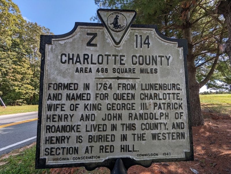
1. Charlotte County side of marker
Charlotte County. Area 496 square Miles. Formed in 1764 from Lunenburg, and named for Queen Charlotte, wife of King George III. Patrick Henry and John Randolph of Roanoke lived in this county, and Henry is buried in the western section at Red Hill.
Appomattox County. Area 342 square miles. Formed in 1845 from Buckingham, Prince Edward, Charlotte and Campbell, and named for an Indian tribe. This county was the scene of Lee's surrender, April 9, 1865.
Erected 1942 by Virginia Conservation Commission. (Marker Number Z-114.)
Topics. This historical marker is listed in these topic lists: Indigenous Peoples and Communities • Patriots & Patriotism • War, US Civil. A significant historical date for this entry is April 9, 1865.
Location. 37° 12.128′ N, 78° 48.489′ W. Marker is in Red House, Virginia, in Charlotte County. It is at the intersection of Red House Road (U.S. 15) and Wheelers Spring Road (Virginia Route 725), on the right when traveling south on Red House Road. Touch for map. Marker is in this post office area: Appomattox VA 24522, United States of America. Touch for directions.

Regionally, this marker is in
this page online
Other nearby markers. At least 8 other markers are within 11 miles of this marker, measured as the crow flies: Red House (approx. 0.9 miles away); Rough Creek Church (approx. 6.3 miles away); Appomattox County / Prince Edward County (approx. 8.2 miles away); Clay Smoking Pipes (approx. 8.4 miles away); Campbell County / Charlotte County (approx. 9½ miles away); Patrick Henry’s Grave (approx. 9.9 miles away); Hat Creek Church (approx. 10½ miles away); Battle of Appomattox Station — 1865 (approx. 10½ miles away).

Photographed by Mike Wintermantel, September 18, 2023
2. Appomattox County side of marker
Photographed by Mike Wintermantel, September 18, 2023
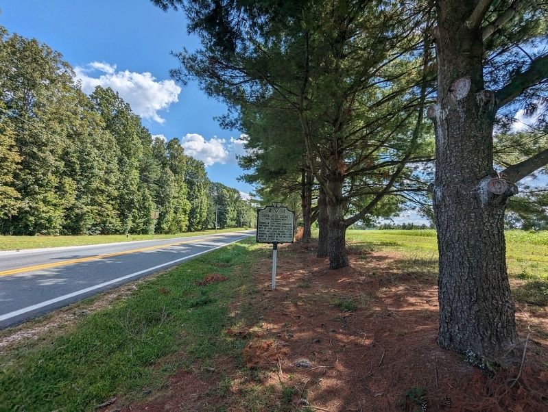
3. Charlotte County Marker
Credits. This page was last revised on June 19, 2024. It was originally submitted on September 19, 2023, by Mike Wintermantel of Pittsburgh, Pennsylvania. This page has been viewed 286 times since then and 48 times this year. Photos: 1, 2, 3. submitted on September 19, 2023, by Mike Wintermantel of Pittsburgh, Pennsylvania.
