Wild River State Park near Almelund in Chisago County, Minnesota — The American Midwest (Upper Plains)
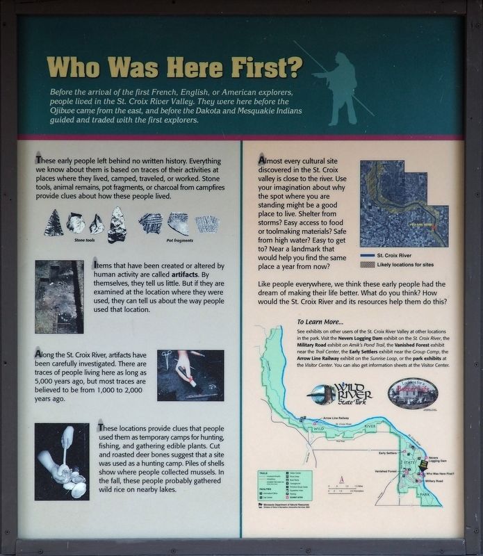
Who Was Here First?
Before the arrival of the first French, English, or American explorers, people lived in the St. Croix River Valley. They were here before the Ojibwe came from the east, and before the Dakota and Mesquakie Indians guided and traded with the first explorers.
These early people left behind no written history. Everything we know about them is based on traces of their activities at the places where they lived, camped, traveled, or worked. Stone tools, animal remains, pot fragments, or charcoal from campfires provide clues about how these people lived.
Stone tools
Pot fragments
Items that have been created or altered by human activity are called artifacts. By themselves, they tell us little. But if they are examined at the location where they were used, they can tell us about the way people used that location.
Along the St. Croix River, artifacts have been carefully investigated. There are traces of people living here as long as 5,000 years ago, but most traces are believed to be from 1,000 to 2,000 years ago.
These locations provide clues that people used them as temporary camps for hunting, fishing, and gathering edible plants. Cut and roasted deer bones suggest that a site was used as a hunting camp. Piles of shells show where people collected mussels. In the fall, these people probably gathered wild rice on nearby lakes.
Almost every cultural site discovered in the St. Croix valley is close to the river. Use your imagination about why this spot where you are standing might be a good place to live. Shelter from storms? Easy access to food or toolmaking materials? Safe from high water? Easy to get to? Near a landmark that would help you find the same place a year from now?
Like people everywhere, we think these early people had the dream of making their life better. What do you think? how would the St. Croix River and its resources help them do this?
To Learn More...
See exhibits on other users of the St. Croix River Valley at other locations in the park. Visit the Nevers Logging Dam exhibit on the St. Croix River, the Military Road exhibit on Amik's Pond Trail, the Vanished Forest exhibit near the Trail Center, the Early Settlers exhibit near the Group Camp, the Arrow Line Railway exhibit on the Sunrise Loop, or the park exhibits at the Visitor Center. You can also get information sheets at the Visitor Center.
Erected by Minnesota Department of Natural Resources.
Topics. This historical marker is listed in these topic lists: Anthropology & Archaeology
• Native Americans • Waterways & Vessels.
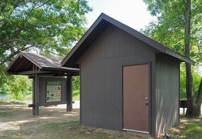
Location. 45° 31.368′ N, 92° 43.762′ W. Marker is near Almelund, Minnesota, in Chisago County. It is in Wild River State Park. Marker is on the road to the boat launch, on the left when traveling east. Touch for map. Marker is at or near this postal address: 37475 Park Trail, North Branch MN 55056, United States of America. Touch for directions.
Other nearby markers. At least 8 other markers are within walking distance of this marker. Military Road (approx. 0.3 miles away); The St. Croix River (approx. 0.4 miles away); A Conservation Legacy (approx. 0.4 miles away); Restored Prairies (approx. 0.4 miles away); Conifer Forests (approx. 0.4 miles away); Wild River State Park (approx. 0.4 miles away); Looking For A Better Life (approx. 0.4 miles away); Bringing Back the Prairie (approx. 0.7 miles away). Touch for a list and map of all markers in Almelund.
Credits. This page was last revised on September 22, 2023. It was originally submitted on September 20, 2023, by McGhiever of Minneapolis, Minnesota. This page has been viewed 53 times since then and 6 times this year. Photos: 1, 2. submitted on September 20, 2023, by McGhiever of Minneapolis, Minnesota. • J. Makali Bruton was the editor who published this page.

