Coppell in Dallas County, Texas — The American South (West South Central)
Native American Sites
Photographed by Morgan Petermann, September 21, 2023
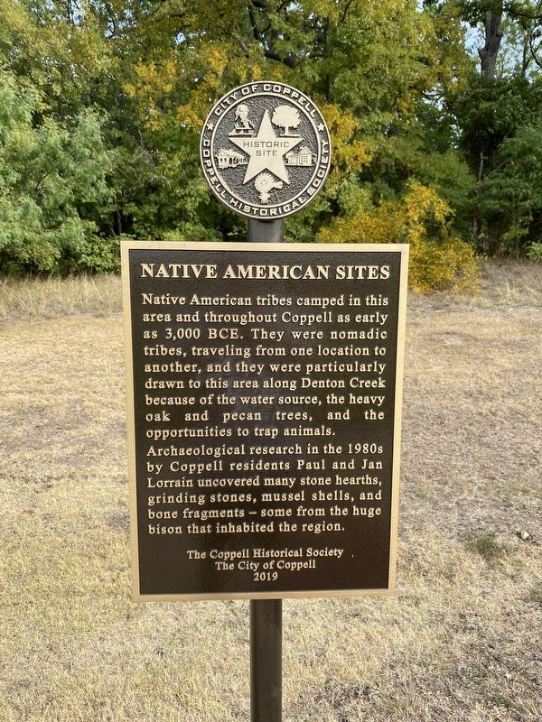
1. Native American Sites Marker
Archaeological research in the 1980s by Coppell residents Paul and Jan Lorrain uncovered many stone hearths, grinding stones, mussel shells, and bone fragments - some from the huge bison that inhabited the region.
Erected 2019 by City of Coppell and Coppell Historical Society.
Topics. This historical marker is listed in these topic lists: Anthropology & Archaeology • Indigenous Peoples and Communities.
Location. 32° 58.832′ N, 96° 59.479′ W. Marker is in Coppell, Texas, in Dallas County. It is at the intersection of North Denton Tap Road and Natchez Trace on North Denton Tap Road. Touch for map. Marker is at or near this postal address: 320 N Denton Tap Rd, Coppell TX 75019, United States of America. Touch for directions.

Regionally, this marker
this page online
Other nearby markers. At least 8 other markers are within 2 miles of this marker, measured as the crow flies: Historic Bullock Cemetery (approx. 1.3 miles away); Parrish Family Cemetery (approx. 1.6 miles away); Bethel School and Bethel Church (approx. 1.7 miles away); Bethel Cemetery (approx. 1.7 miles away); The Kirkland House (approx. 2 miles away); Coppell's First Government Buildings (approx. 2 miles away); Coppell Heritage Park (approx. 2 miles away); Early Coppell Business District (approx. 2 miles away). Touch for a list and map of all markers in Coppell.
Photographed by Morgan Petermann, September 21, 2023
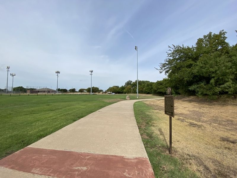
2. Native American Sites Marker
Credits. This page was last revised on September 28, 2023. It was originally submitted on September 25, 2023, by Morgan Petermann of Hurst, Texas. This page has been viewed 649 times since then and 89 times this year. Photos: 1, 2. submitted on September 25, 2023, by Morgan Petermann of Hurst, Texas. • James Hulse was the editor who published this page.
