Hawley in Clay County, Minnesota — The American Midwest (Upper Plains)
Geology of Minnesota
Lake Agassiz

Photographed by Cosmos Mariner, September 5, 2023
1. Geology of Minnesota Marker
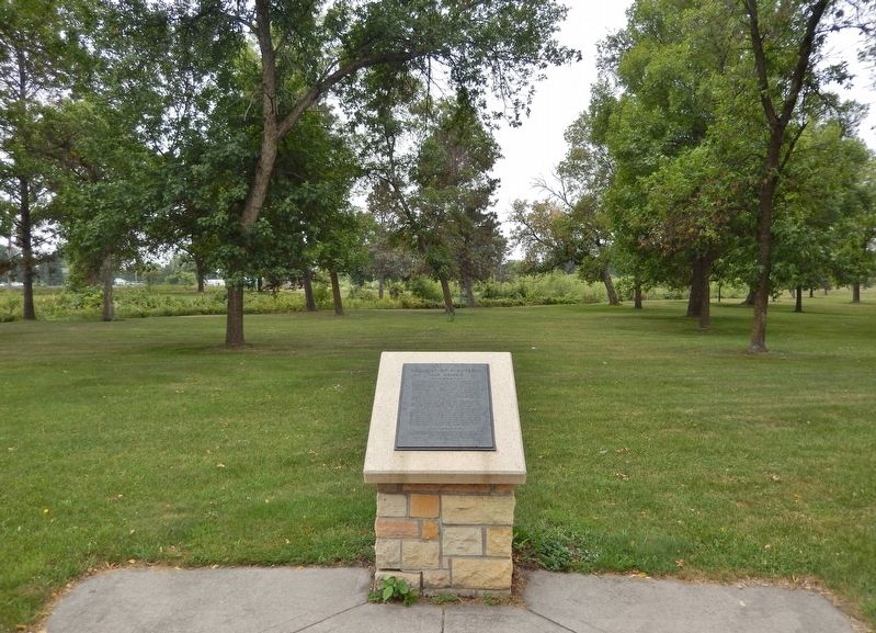
Toward the close of the last or Wisconsin stage of glaciation about 10,000 years ago, the ice front receded from central Iowa toward the north and, in the latitude of Browns Valley, crossed the continental divide between the Mississippi River and the drainage to Hudson Bay. After the glacier had retreated north of this divide the meltwaters, unable to follow the natural drainage northward, were confined between the ice and the divide to the south.
Thus Glacial Lake Agassiz was created. At its maximum it was 600 feet deep and larger than the combined area of the five Great Lakes today.
The outlet of the lake was at Browns Valley. There the Glacial River Warren had its source and carried the overflow from the lake through the valley of the present Minnesota River. When the northern ice eventually melted away the impounded water escaped to Hudson Bay and left behind on the floor of Lake Agassiz the lake sediments which are now the rich soils in the Red River Valley region.
and the Department of Highways, State of Minnesota
aided by a grant from the
Louis W. and Maud Hill Family Foundation.
1955
Erected 1955
this page online
Topics and series. This historical marker is listed in these topic lists: Agriculture • Waterways & Vessels. In addition, it is included in the Minnesota: Geological Society of Minnesota series list.
Location. 46° 52.604′ N, 96° 18.766′ W. Marker is in Hawley, Minnesota, in Clay County. It can be reached from the intersection of Viking Trail (U.S. 10) and 5th Street, on the right when traveling east. The marker is located in Riverbend Park, about 120 yards east of the parking lot. Touch for map. Marker is in this post office area: Hawley MN 56549, United States of America. Touch for directions.

Regionally, this marker is in the American Midwest and in the Corn Belt. Globally, it is in North America, the Western Hemisphere, the Western World, and the Anglosphere. Historically, it finds itself in what was once Rupert’s Land, the territory of the Mississippian Culture, and the Louisiana Purchase.
Other nearby markers. At least one other marker is within walking distance of this marker:
Photographed by Cosmos Mariner, September 5, 2023
2. Geology of Minnesota Marker
Also see . . . Lake Agassiz (Wikipedia). Excerpt:
During the last ice age, northern North America was covered by an ice sheet, which alternately advanced and retreated with variations in the climate. As the ice sheet disintegrated, its meltwaters created an immense proglacial lake. Around 13,000 years ago, this lake came to cover much of what are now southeastern Manitoba, northwestern Ontario, northern Minnesota, eastern North Dakota, and Saskatchewan. It was named after Louis Agassiz, the founder of glaciology. At its greatest extent, it may have covered as much as 170,000 square miles, approximately the area of the Black Sea. The last major shift in drainage occurred around 8,200 years ago, when the melting of remaining Hudson Bay ice caused Lake Agassiz to drain nearly completely.(Submitted on September 27, 2023, by Cosmos Mariner of Cape Canaveral, Florida.)
Credits. This page was last revised on September 27, 2023. It was originally submitted on September 27, 2023, by Cosmos Mariner of Cape Canaveral, Florida. This page has been viewed 496 times since then and 81 times this year. Photos: 1, 2. submitted on September 27, 2023, by Cosmos Mariner of Cape Canaveral, Florida.
