Southeast Raleigh in Wake County, North Carolina — The American South (South Atlantic)
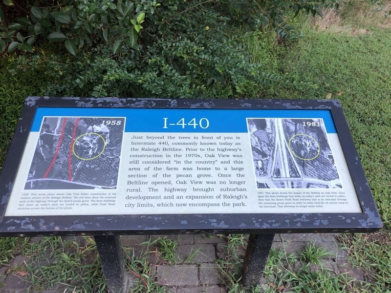
I-440
Photographed by Duane and Tracy Marsteller, September 1, 2023
1. I-440 Marker
[Captions (left to right)]
• 1958 This aerial photo shows Oak View before construction of the eastern section of the Raleigh Beltline. The red lines show the eventual path of the highway through the farm's pecan grove. The farm buildings that make up today's park are circled in yellow, while Poole Road stretches across the bottom of the photo.
• 1981 This photo shines the impact of the Beltline on Oak View. Once again the farm buildings that make up today's park are circled in yellow. Note that the farm's Poole Road entryway bad to be relocated through the remaining pecan grove in order to make room for an access ramp to the interstate. That driveway not longer exists today.
Topics.
this page online
Location. 35° 46.244′ N, 78° 34.393′ W. Marker is in Raleigh, North Carolina, in Wake County. It is in Southeast Raleigh. It can be reached from the intersection of Historic Oak View Lane and Carya Drive. Marker is in Historic Oak View County Park. Touch for map. Marker is at or near this postal address: 4028 Carya Dr, Raleigh NC 27610, United States of America. Touch for directions.

Regionally, this marker is in North Carolina’s Piedmont and in the Research Triangle. It is also in the American South and specifically in the Upper South. Globally, it is in North America, the Western Hemisphere, the Western World, and the Anglosphere. Historically, it finds itself in what was once the territory of the Mississippian Culture, one of the original Thirteen Colonies, one of the Confederate States of America, and the Antebellum South.
Other nearby markers. At least 8 other markers are within walking distance of this marker: In the Field (a few steps from this marker); Cotton Gin House
Photographed by Duane and Tracy Marsteller, September 1, 2023
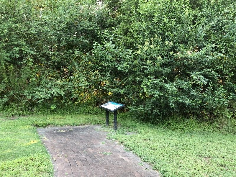
2. I-440 Marker
Also see . . . Historic Oak View Historic & Natural Significance. Further information about the park's structures and Oak View's history, which dates back to 1829 when Benton Southworth Donaldson Williams purchased a tract of land in eastern Wake County from Arthur Pool for $135. (Wake County Parks, Recreation and Open Space Division) (Submitted on September 29, 2023, by Duane and Tracy Marsteller of Murfreesboro, Tennessee.)
Credits. This page was last revised on September 29, 2023. It was originally submitted on September 29, 2023, by Duane and Tracy Marsteller of Murfreesboro, Tennessee. This page has been viewed 238 times since then and 18 times this year. Photos: 1, 2. submitted on September 29, 2023, by Duane and Tracy Marsteller of Murfreesboro, Tennessee.
