Winrock in Conway County, Arkansas — The American South (West South Central)
Geology of Cedar Creek Falls Overlook
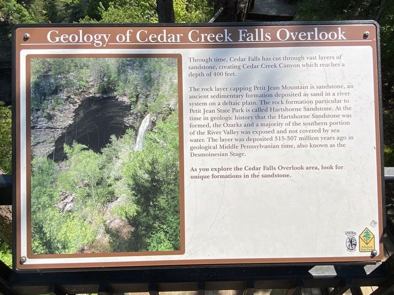
Photographed by Darren Jefferson Clay, June 24, 2023
1. Geology of Cedar Creek Falls Overlook Marker
Topics. This historical marker is listed in these topic lists: Environment • Parks & Recreational Areas.
Location. 35° 7.228′ N, 92° 56.07′ W. Marker is in Winrock, Arkansas, in Conway County. It can be reached from Petit Jean Mountain Road. Touch for map. Marker is in this post office area: Morrilton
this page online

Regionally, this marker is in the Arkansas River Valley. It is also in the American South, specifically in the Upper South, and in the Ozarks. Globally, it is in North America, the Western Hemisphere, the Western World, and the Anglosphere. Historically, it finds itself in what was once the territory of the Mississippian Culture, the Louisiana Purchase, one of the Confederate States of America, and the Antebellum South.
Other nearby markers. At least 8 other markers are within walking distance of this marker: Special Places to See (here, next to this marker); Arkansas's First State Park (here, next to this marker); Two Dominant Fossils of the Area (within shouting distance of this marker); Rock House Cave: Rock Art (about 800 feet away, measured in a direct line); The Old Pioneer Cabin (approx. ¼ mile away); Cement Sculptures by Dionicio Rodriguez (approx. 0.7 miles away); The CCC at Petit Jean State Park (approx. ¾ mile away); Civilian Conservation Corps and the Building of Arkansas's First State Park (approx. ¾ mile away). Touch for a list and map of all markers

Photographed by Darren Jefferson Clay, June 24, 2023
2. Geology of Cedar Creek Falls Overlook Marker
Credits. This page was last revised on October 31, 2023. It was originally submitted on September 29, 2023, by Darren Jefferson Clay of Duluth, Georgia. This page has been viewed 398 times since then and 50 times this year. Photos: 1, 2. submitted on October 3, 2023, by Darren Jefferson Clay of Duluth, Georgia. • Bill Pfingsten was the editor who published this page.
