Kopp near Triangle in Prince William County, Virginia — The American South (Mid-Atlantic)
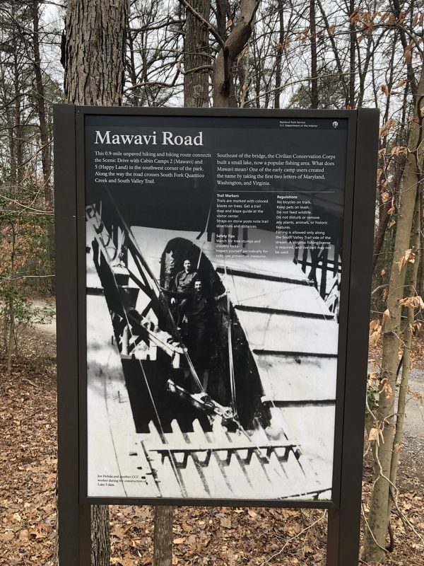
Mawavi Road
— National Park Service, U.S. Department of the Interior —
This 0.9-mile unpaved hiking and biking route connects the Scenic Drive with Cabin Camps 2 (Mawavi) and 5 (Happy Land) in the southwest corner of the park. Along the way the road crosses South Fork Quantico Creek and South Valley Trail.
Southeast of the bridge, the Civilian Conservation Corps built a small lake, now a popular fishing area. What does Mawavi mean? One of the early camp users created the name by taking the first two letters of Maryland, Washington, and Virginia.
Erected by National Park Service, U.S. Department of the Interior.
Topics and series. This historical marker is listed in these topic lists: Charity & Public Work • Parks & Recreational Areas • Roads & Vehicles • Waterways & Vessels. In addition, it is included in the Civilian Conservation Corps (CCC) series list.
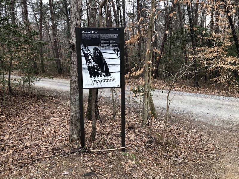
Location. 38° 35.27′ N, 77° 24.414′ W. Marker is near Triangle, Virginia, in Prince William County. It is in Kopp. Marker is on Mawavi Road just south of Scenic Drive, on the left when traveling south. Touch for map. Marker is in this post office area: Triangle VA 22172, United States of America. Touch for directions.
Other nearby markers. At least 8 other markers are within 3 miles of this marker, measured as the crow flies. Old Black Top Road (approx. 1.1 miles away); The Lost Community of Kopp, Virginia (approx. 1.3 miles away); Range 14 Training Complex (approx. 1.6 miles away); Belle Haven Baptist Church (approx. 1.6 miles away); Algonquian Trail (approx. 1.9 miles away); Mary Bird Branch Trail (approx. 2.1 miles away); Pyrite Mine Road (approx. 2.4 miles away); Maddox Cemetery (approx. 2.8 miles away). Touch for a list and map of all markers in Triangle.
Credits. This page was last revised on October 23, 2023. It was originally submitted on March 12, 2021, by Devry Becker Jones of Washington, District of Columbia. This page has been viewed 216 times since then and 31 times this year. Last updated on October 3, 2023, by N. Jozsa of Woodbridge, Virginia. Photos: 1, 2. submitted on March 12, 2021, by Devry Becker Jones of Washington, District of Columbia.

