Leesylvania in Prince William County, Virginia — The American South (Mid-Atlantic)
Lee’s Woods Historic Trail
Leesylvania State Park
Photographed by Don Morfe, September 14, 2016
1. Leesylvania State Park Marker
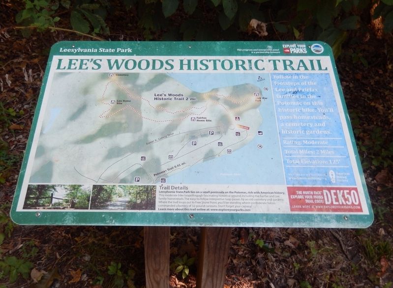
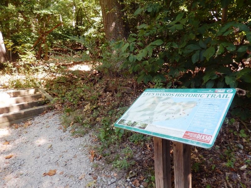
Leesylvania State Park lies on a small peninsula on the Potomac, rich with American history. This moderate hike loops through fascinating historical ground, including the Fairfax and Lee family homesteads. The easy-to-follow interpretive loop passes by an old cemetery and gardens. Where the trail loops out to Free Stone Point, you’ll be standing where confederate forces commanded a battery of 32-pound cannons. Don’t forget your camera! Learn more about this trail online at: www.exploreyoursparks.com.
Follow in the footsteps of the Lee and Fairfax families to the Potomac on this historic hike. You’ll pass homesteads, a cemetery and historic gardens.
Rating: Moderate
Total Miles: 2 Miles
Total Elevation: 125’
We invite you to join us today www.AmericanHiking.org
Topics. This historical marker is listed in these topic lists: Colonial Era • Settlements & Settlers • War, US Civil.
Location. 38° 35.473′ N, 77° 14.882′ W. Marker is in Leesylvania, Virginia, in Prince William County. It is on Daniel K Ludwig Drive 2.4 miles east of Neabsco Road.
this page online

Regionally, this marker is in the Washington Metropolitan Area, in Northern Virginia, and in the Piedmont. It is also in the American South, specifically in the Upper South, in the Mid-Atlantic, and on the Eastern Seaboard. Globally, it is in the North Atlantic Region, North America, the Western Hemisphere, the Western World, and the Anglosphere. Historically, it finds itself in what was once the territory of the Mississippian Culture, one of the original Thirteen Colonies, one of the Confederate States of America, and the Antebellum South.
Other nearby markers. At least 8 other markers are within walking distance of this marker: "Light Horse Harry" Lee (within shouting distance of this marker); "A Pacific Paradise on the Potomac" (within shouting distance of this marker); The Freestone Point Hunt Club (within shouting distance of this marker); "At the Point of Rock" (about 300 feet away, measured in a direct line);
Photographed by Don Morfe, September 14, 2016
2. Leesylvania State Park Marker
Another marker is no longer nearby. Freestone Point Earthworks (was a few steps from this marker but has been permanently removed).
Also see . . .
1. Leesylvania State Park. Virginia Department of Conservation and Recreation website entry (Submitted on September 26, 2016.)
2. American Hiking Association. (Submitted on September 26, 2016.)
Photographed by Don Morfe, September 14, 2016
3. Sign at the entrance to Leesylvania State Park
Credits. This page was last revised on September 12, 2025. It was originally submitted on September 24, 2016, by Don Morfe of Baltimore, Maryland. This page has been viewed 811 times since then and 32 times this year. Last updated on October 3, 2023, by N. Jozsa of Woodbridge, Virginia. Photos: 1, 2, 3. submitted on September 24, 2016, by Don Morfe of Baltimore, Maryland. • Bernard Fisher was the editor who published this page.
