
Dale City in Prince William County, Virginia — The American South (Mid-Atlantic)
Dumfries Rest Area
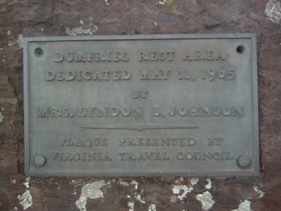
Photographed by Kevin W., April 21, 2008
1. Dumfries Rest Area Marker
by
Mrs. Lyndon B. Johnson
Erected 1965 by Virginia Travel Council.
Topics. This historical marker is listed in these topic lists: Roads & Vehicles • Women. A significant historical date for this entry is May 11, 1993.
Location. 38° 37.16′ N, 77° 17.915′ W. Marker is in Dale City, Virginia, in Prince William County. It is on Southbound Rest Area (Interstate 95 at milepost 156), on the right. Touch for map. Marker is in this post office area: Dumfries VA 22026, United States of America. Touch for directions.

Regionally, this marker is in the Washington Metropolitan Area, in Northern Virginia, and in the Piedmont. It is also in the American South, specifically in the Upper South, and in the Mid-Atlantic. Globally, it is in the North Atlantic Region, North America, the Western Hemisphere, the Western World, and the Anglosphere. Historically, it finds itself in what was once the territory of the Mississippian Culture, one of the original Thirteen Colonies, one of the Confederate States of America, and the Antebellum South.
Other nearby markers. At least 8 other markers are within
this page online
Another marker is no longer nearby. Events Along Neabsco Creek (was approx. ¾ mile away but has been confirmed missing).
Also see . . . Lady Bird Johnson's I-95 Landscape-Landmark Tour - Highway History. Federal Highway Administration historical information about Lady Bird Johnson's campaign to beautify the nation's highways. (Submitted on March 20, 2021, by Kevin W. of Stafford, Virginia.)
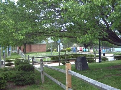
Photographed by Kevin W., April 21, 2008
2. Dumfries Rest Area Marker
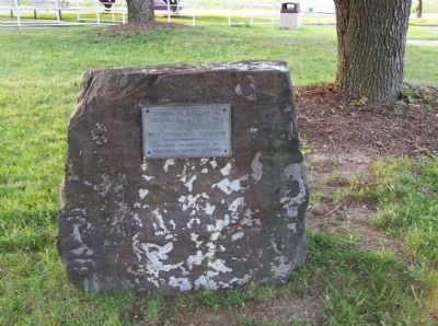
Photographed by Mike Stroud, 2011
3. Dumfries Rest Area Marker
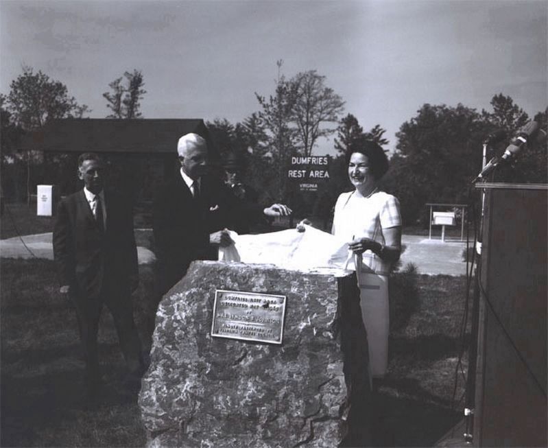
Photographed by Federal Highway Administration, June 1965
4. Dumfries Rest Area Marker
Lady Bird Johnson and Governor Albertis Harrison unveil the dedication plaque for the Dumfries Rest Area on I-95.
Credits. This page was last revised on October 20, 2023. It was originally submitted on April 27, 2008, by Kevin W. of Stafford, Virginia. This page has been viewed 1,775 times since then and 31 times this year. Last updated on October 3, 2023, by N. Jozsa of Woodbridge, Virginia. Photos: 1, 2. submitted on April 27, 2008, by Kevin W. of Stafford, Virginia. 3. submitted on August 6, 2011, by Mike Stroud of Bluffton, South Carolina. 4. submitted on March 20, 2021, by Kevin W. of Stafford, Virginia. • Bill Pfingsten was the editor who published this page.
