Grimsby in Niagara Region, Ontario — Central Canada (North America)
History of the Biggar Lagoons
History of the Biggar Lagoons
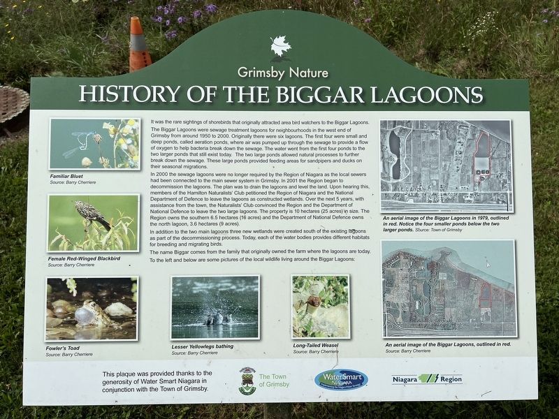
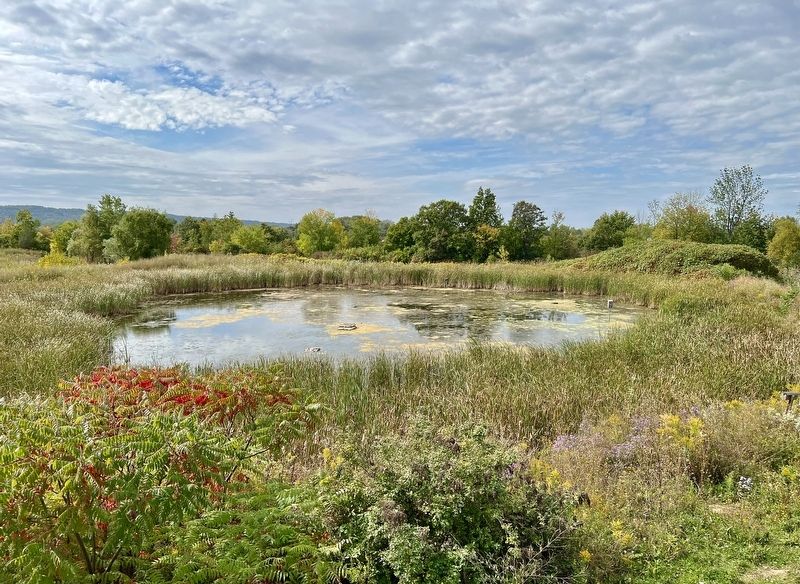
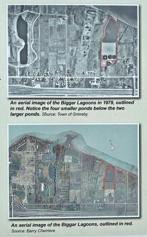
It was the rare sightings of shorebirds that originally attracted area bird watchers to the Biggar Lagoons. The Biggar Lagoons were sewage treatment lagoons for neighbourhoods in the west end of Grimsby from around 1950 to 2000. Originally there were six lagoons. The first four were small and deep ponds, called aeration ponds, where air was pumped up through the sewage to provide a flow of oxygen to help bacteria break down the sewage. The water went from the first four ponds to the two larger ponds that still exist today. The two large ponds allowed natural processes to further break down the sewage. These large ponds provided feeding areas for sandpipers and ducks on their seasonal migrations.
In 2000 the sewage lagoons were no longer required by the Region of Niagara as the local sewers had been connected to the main sewer system in Grimsby. In 2001 the Region began to decommission the lagoons. The plan was to drain the lagoons and level the land. Upon hearing this, members of the Hamilton Naturalists' Club petitioned the Region of Niagara and the National Department of Defence to leave the lagoons as constructed wetlands. Over the next 5 years, with assistance from the town, the Naturalists' Club convinced the Region and the Department of National Defence to leave the two large lagoons. The property is 10 hectares (25 acres) in size. The Region owns the southern 6.5 hectares (16 acres) and the Department of National Defence owns the north lagoon, 3.6 hectares (9 acres).
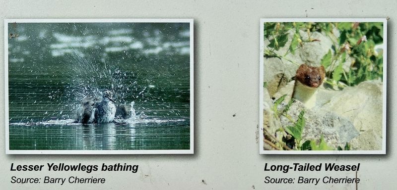
In addition to the two main lagoons three new wetlands were created south of the existing lagoons as part of the decommissioning process. Today, each of the water bodies provides different habitats for breeding and migrating birds. The name Biggar comes from the family that originally owned the farm where the lagoons are today. To the left and below are some pictures of the local wildlife living around the Biggar Lagoons:
This plaque was provided thanks to the generosity of Water Smart Niagara in conjunction with the Town of Grimsby.
Erected by Town of Grimsby.
Topics. This historical marker is listed in these topic lists: Animals • Environment • Parks & Recreational Areas. A significant historical year for this entry is 1950.
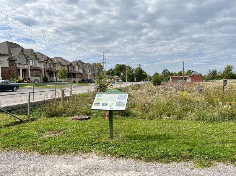
Location. 43° 12.814′ N, 79° 36.867′ W. Marker is in Grimsby, Ontario, in Niagara Region. Marker is on Winston Road, 0.2 kilometers west of Oakes Road North, on the right when traveling west. Touch for map. Marker is in this post office area: Grimsby ON L3M 4E8, Canada. Touch for directions.
Other nearby markers. At least 8 other markers are within 6 kilometers of this marker, measured as the crow flies. St. Andrew’s Anglican Church (approx. 4.2 kilometers away); Colonel Robert Nelles 1761-1842 (approx. 4.4 kilometers away); Grimsby Town Bell (approx. 4.5 kilometers away); First Town Meeting (approx. 4.5 kilometers away); Engagement at the Forty Mile Creek (approx. 5 kilometers away); Fisheries in Grimsby (approx. 5 kilometers away); Grimsby 1812 Bicentennial Gazebo (approx. 5.1 kilometers away); The War of 1812 (approx. 5.1 kilometers away). Touch for a list and map of all markers in Grimsby.
Credits. This page was last revised on October 8, 2023. It was originally submitted on October 6, 2023, by Tim Boyd of Hamilton, Ontario. This page has been viewed 48 times since then and 7 times this year. Photos: 1, 2, 3, 4, 5, 6. submitted on October 6, 2023, by Tim Boyd of Hamilton, Ontario. • Andrew Ruppenstein was the editor who published this page.
