Leça da Palmeira in Matosinhos, Porto, Portugal — Southwestern Europe (Iberian Peninsula)
O Aterro ⎯⎯⎯ The Embankment
—
Matosinhos Mar
—
Photographed by Andrew Ruppenstein, September 2, 2023
1. O Aterro / The Embankment Marker
Inscription.
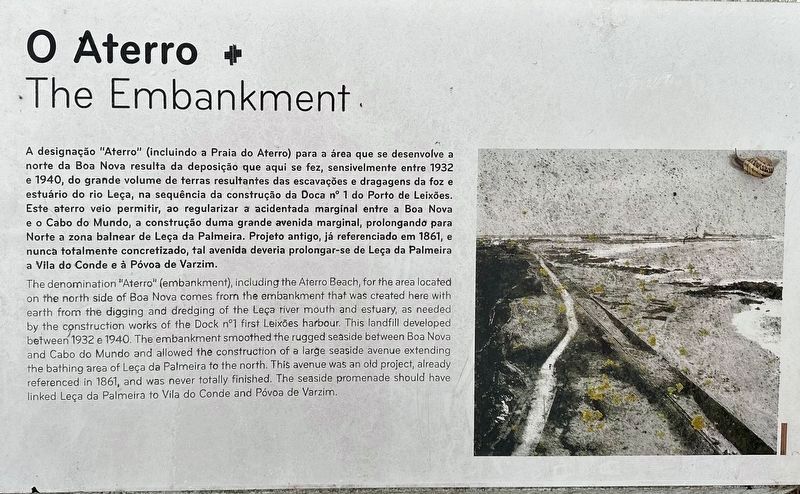
A designação "Aterro" (incluindo a Praia do Aterro) para a área que se desenvolve a norte da Boa Nova resulta da deposição que aqui se fez, sensivelmente entre 1932 e 1940, do grande volume de terras resultantes das escavações e dragagens da foz e estuário do rio Leça, na sequência da construção da Doca nº 1 do Porto de Leixões.
Este aterro veio permitir, ao regularizar a acidentada marginal entre a Boa Nova e o Cabo do Mundo, a construção duma grande avenida marginal, prolongando para Norte a zona balnear de Leça da Palmeira. Projeto antigo, já referenciado em 1861, e nunca totalmente concretizado, tal avenida deveria prolongar-se de Leça da Palmeira a Vila do Conde e à Póvoa de Varzim.
The denomination "Aterro" (embankment), including the Aterro Beach, for the area located on the north side of Boa Nova comes from the embankment that was created here with earth from the digging and dredging of the Leça river mouth and estuary, as needed by the construction works of the Dock nº1 first Leixões harbour. This landfill developed between 1932 e 1940. The embankment smoothed the rugged seaside between Boa Nova and
Click or scan to see this page online
Cabo do Mundo and allowed the construction of a large seaside avenue extending the bathing area of Leça da Palmeira to the north. This avenue was an old project, already
referenced in 1861, and was never totally finished. The seaside promenade should have linked Leça da Palmeira to Vila do Conde and Póvoa de Varzim.
Location. 41° 12.623′ N, 8° 42.885′ W. Marker is in Leça da Palmeira, Porto, in Matosinhos. It can be reached from Avenida Liberdade. Touch for map. Marker is in this post office area: Leça da Palmeira, Porto 4450, Portugal. Touch for directions.
Regionally, it is in the North Atlantic Region, in Europe, in the European Union, in Atlantic Europe, on the Iberian Peninsula, in the Schengen Area, and in the Western World. Historically, it finds itself in what was once Portuguese colonies and also the Roman Empire.
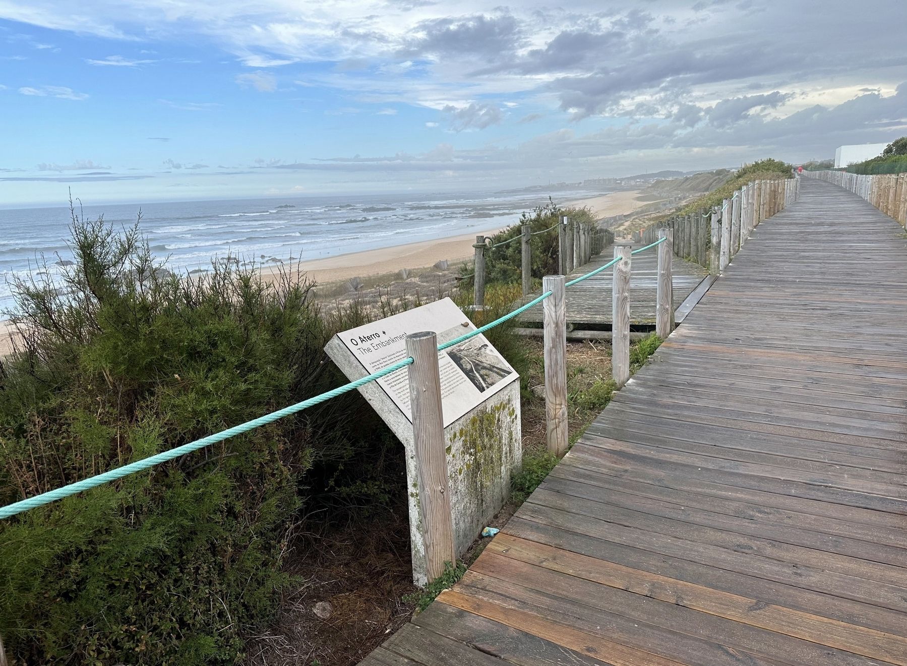
More about this marker. The marker is on the boardwalk between the road and the beach at Praia do Aterro, just a bit south of the wastewater treatment facility.
Credits. This page was last revised on October 10, 2023. It was originally submitted on October 10, 2023, by Andrew Ruppenstein of Lamorinda, California. This page has been viewed 138 times since then and 13 times this year. Photos:1, 2. submitted on October 10, 2023, by Andrew Ruppenstein of Lamorinda, California.