Greeneville in Greene County, Tennessee — The American South (East South Central)
A Hill with a Pleasant View

Photographed by Mike Wintermantel, October 18, 2023
1. A Hill with a Pleasant View Marker
-Andrew Johnson
In addition to the 17th President and his immediate family, this family burial ground contains the graves of extended members of the family. The last and final interment occurred in 1992.
Martha Johnson Patterson, Johnson's eldest child, wished for the family burial ground to become a "park-like setting" for the interment of veterans. In 1906, the War Department acquired this land for the Andrew Johnson National Cemetery, and today veterans from the Civil War to Afghanistan and Iraq are buried here.
During the Civil War, Johnson moved from Military Governor of Tennessee to Vice President of the United States. During that time, soldiers used this hill for signaling friendly forces. In 1865, Johnson became the 17th President, following the assassination of President Abraham Lincoln.
President Andrew Johnson died on July 31, 1875 and was buried here. Six months later his wife Eliza was interred beside him. In 1878, "Signal Hill" became "Monument Hill" with the erection of a 28-foot (8.5m) tall marble obelisk celebrating Johnson's public service.
Topics. This historical marker is listed in these topic lists: Cemeteries & Burial Sites • War, US Civil. A significant historical date for this entry is July 31, 1875.
Location. 36° 9.333′ N, 82° 50.278′ W. Marker is in Greeneville, Tennessee, in Greene County. It can be reached from Monument Avenue. Located in Andrew Johnson National Cemetery. Touch for map.
this page online

Regionally, this marker is in East Tennessee. It is also in the American South, specifically in the Upper South, in Appalachia, and specifically in Southern Appalachia. Globally, it is in North America, the Western Hemisphere, the Western World, and the Anglosphere. Historically, it finds itself in what was once the original Cherokee Nation, the territory of the Mississippian Culture, one of the Confederate States of America, the State of Franklin, and the Antebellum South.
Other nearby markers. At least 8 other markers are within walking distance of this marker: Andrew Johnson and Eliza Johnson Grave Marker (within shouting distance of this marker); Andrew Johnson (within shouting distance of this marker); World War I Memorial (about 300 feet away, measured in a direct line); Andrew Johnson National Cemetery (about 400 feet away); Address by President Lincoln (about 400 feet away); Greene County / Hawkins County (approx. 0.4 miles away); Classic American La France (approx. 0.4 miles away);
Photographed by Mike Wintermantel, October 18, 2023
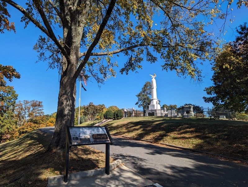
2. A Hill with a Pleasant View Marker
Andrew Johnson grave in background
Also see . . .
1. Andrew Johnson National Historic Site. (Submitted on October 22, 2023, by Mike Wintermantel of Pittsburgh, Pennsylvania.)
2. Andrew Johnson at FindAGrave.com. (Submitted on October 22, 2023, by Mike Wintermantel of Pittsburgh, Pennsylvania.)
Photographed by Mark Parker, March 19, 2024
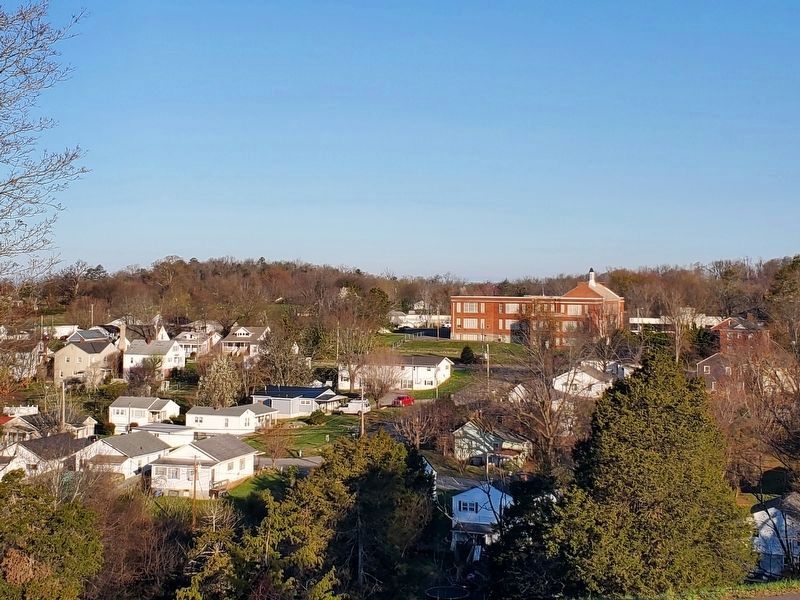
3. View of Greeneville, Tennessee from the burial site of Andrew Johnson
Credits. This page was last revised on November 10, 2024. It was originally submitted on October 22, 2023, by Mike Wintermantel of Pittsburgh, Pennsylvania. This page has been viewed 274 times since then and 30 times this year. Photos: 1, 2. submitted on October 22, 2023, by Mike Wintermantel of Pittsburgh, Pennsylvania. 3. submitted on August 7, 2024, by Mark Parker of Hickory, North Carolina.
