Near Pickstown in Gregory County, South Dakota — The American Midwest (Upper Plains)
Welcome to Randall Creek Recreation Area
| — | Missouri National Recreational River Water Trail | — |

October 21, 2023
1. Welcome to Randall Creek Recreation Area Marker, Side One
Lat 43° 3' 15" N
Long 98° 33' 21" W
You are just downriver from Ft. Randall Dam, the first dam in South Dakota completed under the Pick-Sloan Plan by the US Army Corps of Engineers in 1956.
The Missouri River remains 'free-flowing' for the next 39 miles to just above Lewis & Clark Lake, with conditions similar to those experienced by the Lewis & Clark Expedition over two hundred years ago.
Beyond Gavins Point Dam lies another 59 miles of 'free-flowing' river which is also part of this Water Trail and of the Missouri National Recreational River, a unit of the National Park Service.
Built in 1856, the legendary Fort Randall Military Post played a strategic role in many events on the northern plains from the frontier and treaty periods through the settlement era.
The Post Cemetery holds the remains of settlers, Indian interpreters and military personnel.
Fort Randall Chapel circa 1902
Fort Randall was abandoned in 1892, but ruins, including a chalkstone chapel, remain just below the present dam. A self-guided trail leads visitors around the old fort's site, which is open year-round.
One of six major
this page online
The other dams include Fort Peck in Montana, Garrison in North Dakota, and Oahe, Big Bend and Gavins Point in South Dakota.
Looking west over the Missouri River, Ft. Randall Dam and Lake Francis Case
The reservoir behind the dam, Lake Francis Case, was named for South Dakota's US Senator Francis H. Case. Extending upstream to Big Bend Dam near Ft. Thompson, SD, the lake's 19 recreation areas feature modern and primitive campgrounds and day use areas. Common fish include walleye, catfish, northern pike, crappie, white bass, perch, largemouth bass and smallmouth bass.
Known for its lack of vegetation and unusual rise above the adjacent hills, Old Baldy was first encountered by Lewis & Clark on September 7th, 1804.
Nearby, they discovered a colony of 'barking squirrels' or prairie dogs, which were previously unknown to scientists.
Prairie dog
Old Baldy
Old Baldy, also known as 'The Tower,' can be seen on the south side of the river approximately nine miles downstream from Ft. Randall

October 21, 2023
2. Welcome to Randall Creek Recreation Area Marker, Side Two
The Niobrara Formation is exposed in the bluffs along the river. This rock was formed approximately 85 million years ago during the Cretaceous Period while a shallow inland sea covered this area.
Fossils, including coccoliths and foraminifera shells, make up most of the Niobrara Formation. It is also rich in fossil remains of fishes, marine and flying reptiles, and toothed birds.
Niobrara chalk bluffs
Bald eagles are attracted to this section of the river for its mature cottonwood trees, which provide habitat, and for the clear, open waters below the dam that are ideal for catching prey.
Eagle Roost Area, a National Natural Landmark, is located within the Randall Creek Recreation Area and is a great place for viewing bald eagles.
A segment of the Karl E. Mundt National Wildlife Refuge, named for South Dakota's long-serving US Senator Karl Mundt, is located on the south bank of the river.
Eagle nest in cottonwood
Over 1,000 acres

October 21, 2023
3. Welcome to Randall Creek Recreation Area Marker, from the south
Karl E. Mundt National Wildlife Refuge is closed to the general public. Please be respectful as you pass by on the river.
Note: Emergency access points are limited on both sides of the Missouri in this reach. Please plan accordingly.
Reverse
The 39-Mile and 59-Mile Districts of the Missouri National Recreational River above and below Lewis & Clark Lake are among the last relatively natural stretches of America's longest river. Come immerse yourself in some of the many experiences and stories to be discovered along this Water Trail. Exploring the river, you will see how the MniSose earned its nicknames 'Old Misery,' 'the Mighty Mo' and 'the Big Muddy.'
Interpretive signs at river access points explain the geology as well as the human and natural history along the Water Trail. Learn of the Missouri's role in America's development, of the peoples who have called this river and region home for generations and how the river itself has changed over time. In your own water vessel, follow Lewis & Clark's
October 21, 2023
4. Welcome to Randall Creek Recreation Area Marker
You will see ever-changing features of the river such as islands, sandbars, meanders and backwaters, and encounter native species of wildlife, perhaps even threatened or endangered fish and birds. Finally, you will learn about the partners who work together to protect and manage this river and who have created this Water Trail for your enjoyment and exploration.
These two sections of river have been designated as part of the Missouri National Recreational River (MNRR) and are protected under the Wild and Scenic Rivers Act to preserve their relatively natural condition and 'outstandingly remarkable' natural, cultural, historic, scenic, and recreational values, and to provide today's visitor with a glimpse of the untamed river that native peoples, early explorers, trappers, traders, and riverboat crews encountered. They are also part of the Lewis & Clark National Historic Trail which spans portions of what are now 11 states.
Erected by the

October 21, 2023
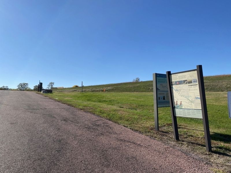
5. Missouri River Marker, nearby
Topics. This historical marker is listed in these topic lists: Exploration • Forts and Castles • Parks & Recreational Areas • Waterways & Vessels. A significant historical year for this entry is 1856.
Location. 43° 3.254′ N, 98° 33.373′ W. Marker is near Pickstown, South Dakota, in Gregory County. It is on Randall Creek Road. Located at the Randall Creek Boat Ramp by the Randall Creek Recreation Area. Touch for map. Marker is at or near this postal address: 136 Randall Creek Rd, Pickstown SD 57367, United States of America. Touch for directions.

Regionally, this marker is in East River. It is also in the American Lewis & Clark Corridor, on the prairies, and on the Northern Plains. Globally, it is in North America, the Western Hemisphere, the Western World, and the Anglosphere. Historically, it finds itself in what was once Rupert’s Land and also the Louisiana Purchase.
Other nearby markers. At least 8 other markers are within walking distance of this marker: Supply & Demand (approx. ¼ mile away); Crime & Punishment (approx. ¼ mile away); Frontier Firepower (approx. ¼ mile away); In Sickness & in Health (approx. 0.3 miles away); Fort Randall Eagle Roost (approx. 0.3 miles away); Off-duty Diversions (approx. 0.3 miles away); Fort Randall Area (approx. 0.3 miles away); Missouri River (approx. 0.3 miles away). Touch for a list and map of all markers in Pickstown.
Credits. This page was last revised on October 26, 2023. It was originally submitted on October 25, 2023. This page has been viewed 311 times since then and 33 times this year. Photos: 1, 2, 3, 4, 5. submitted on October 25, 2023.
