Near Belzoni in Humphreys County, Mississippi — The American South (East South Central)
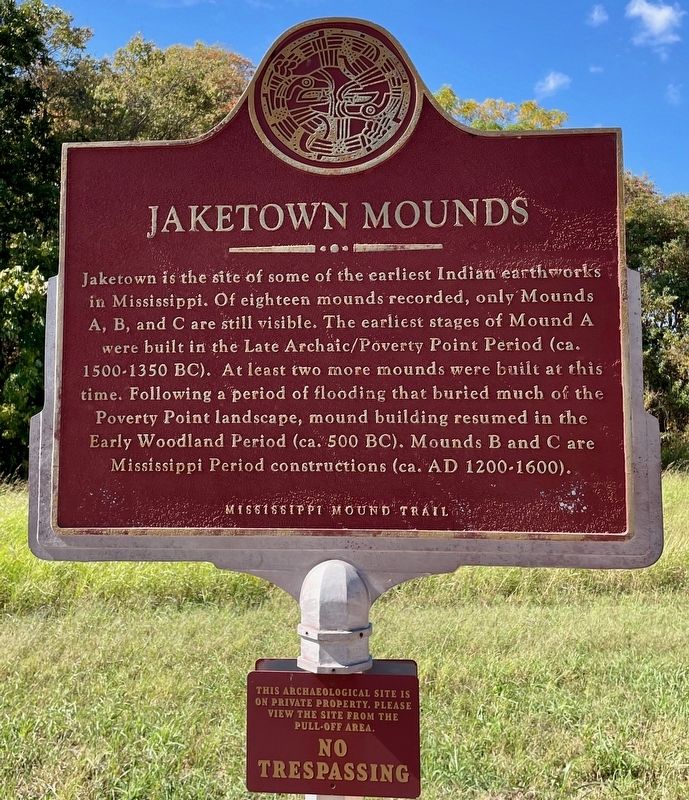
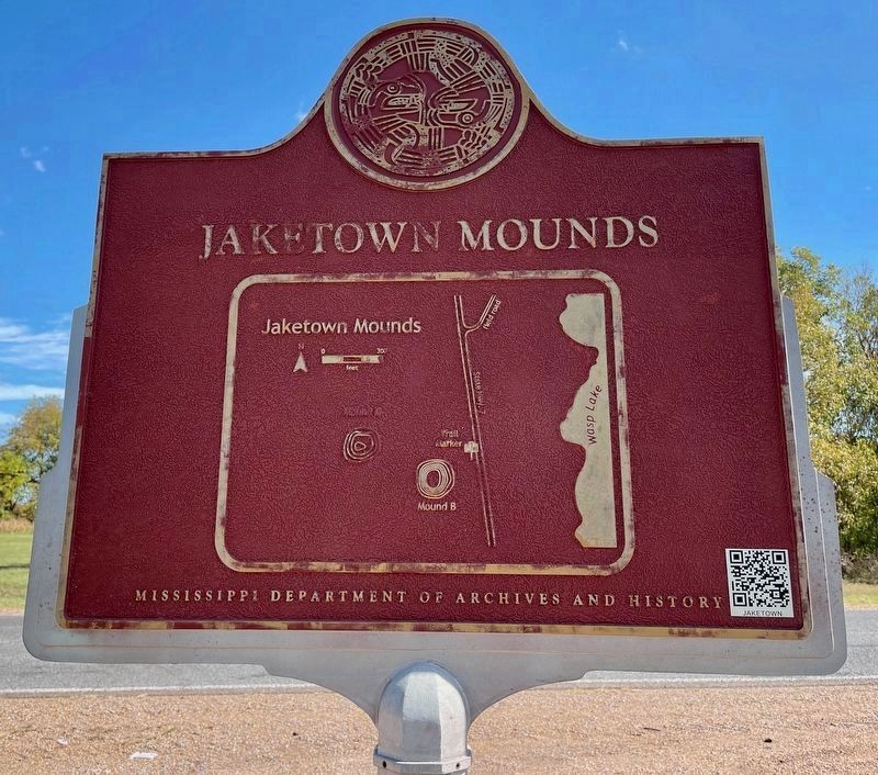
Jaketown Mounds
— Mississippi Mound Trail —
Erected by the Mississippi Department of Archives and History.
Topics and series. This historical marker is listed in these topic lists: Anthropology & Archaeology • Cemeteries & Burial Sites • Native Americans. In addition, it is included in the Mississippi Mound Trail series list.
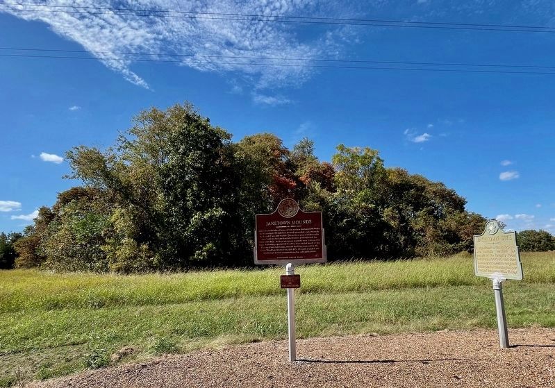
Location. 33° 14.202′ N, 90° 29.166′ W. Marker is near Belzoni, Mississippi, in Humphreys County. Marker is on Mississippi Route 7, half a mile south of Smith Road, on the right when traveling south. Touch for map. Marker is in this post office area: Belzoni MS 39038, United States of America. Touch for directions.
Other nearby markers. At least 8 other markers are within 11 miles of this marker, measured as the crow flies. Jaketown Site (here, next to this marker); Pinetop Perkins (approx. 3.1 miles away); The Reverend George Lee (approx. 3.6 miles away); Turner's Drug Store (approx. 4.1 miles away); Denise LaSalle (approx. 4.2 miles away); Steamboat Natchez (approx. 5.1 miles away); Hank Cochran (approx. 5.9 miles away); Little Milton Campbell (approx. 10.1 miles away). Touch for a list and map of all markers in Belzoni.
Related marker. Click here for another marker that is related to this marker.
Additional keywords. Indigenous People
Credits. This page was last revised on October 28, 2023. It was originally submitted on October 28, 2023, by Mark Hilton of Montgomery, Alabama. This page has been viewed 69 times since then and 28 times this year. Photos: 1, 2, 3. submitted on October 28, 2023, by Mark Hilton of Montgomery, Alabama.


