Goliad in Goliad County, Texas — The American South (West South Central)
A Native Texas Mission
Abandoned and Neglected
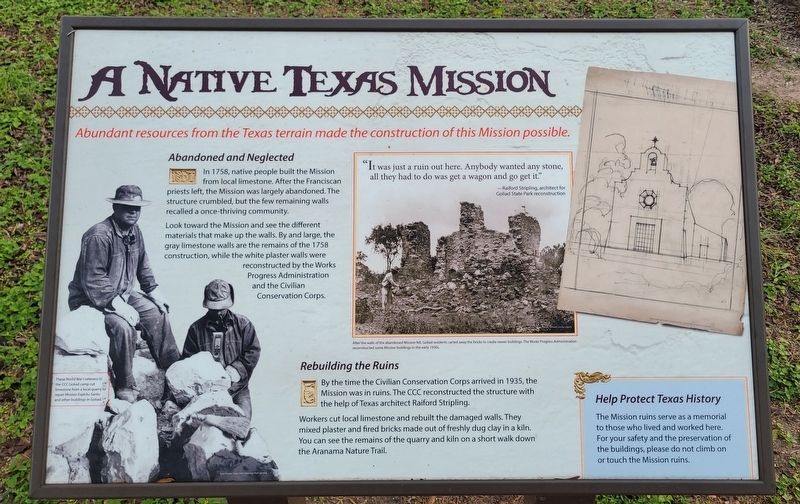
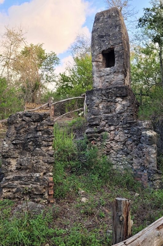
In 1758, native people built the Mission from local limestone. After the Franciscan priests left, the Mission was largely abandoned. The structure crumbled, but the few remaining walls recalled a once-thriving community.
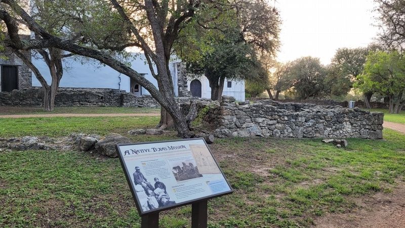
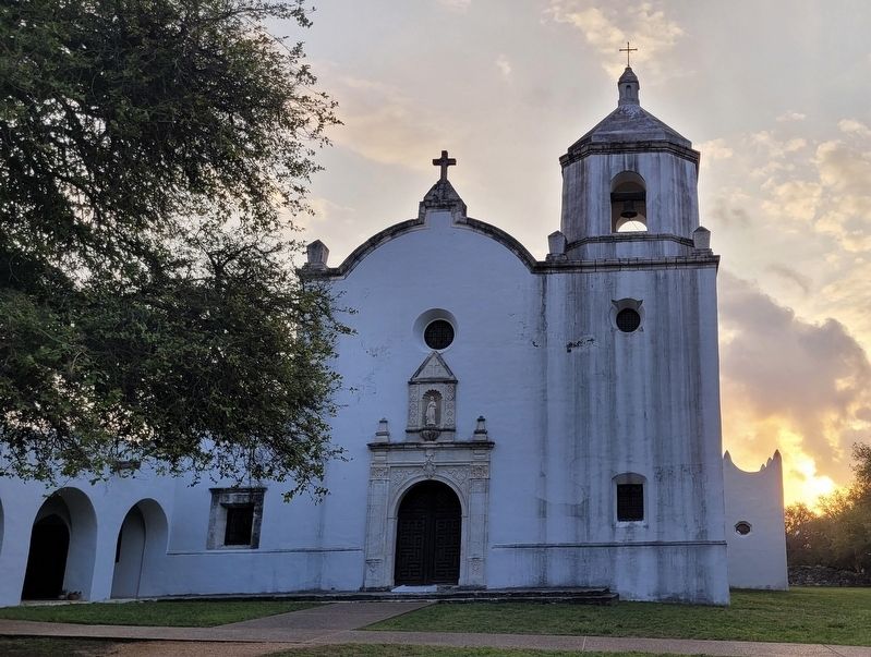
Look toward the Mission and see the different materials that make up the walls. By and large, the gray limestone walls are the remains of the 1758 construction, while the white plaster walls were reconstructed by the Works Progress Administration and the Civilian Conservation Corps.
Rebuilding the Ruins
By the time the Civilian Conservation Corps arrived in 1935, the Mission was in ruins. The CCC reconstructed the structure with the help of Texas architect Raiford Stripling.
Workers cut local limestone and rebuilt the damaged walls. They mixed plaster and fired bricks made out of freshly dug clay in a kiln. You can see the remains of the quarry and kiln on a short walk down the Aranama Nature Trail.
Help Protect Texas History
The Mission ruins serve as a memorial to those who lived and worked here. For your safety and the preservation of the buildings, please do not climb on or touch the Mission ruins.
Captions
Lower Left: These World War I veterans in the CCC Goliad camp cut limestone from a local quarry to repair Mission Espiritu Santo and other buildings in Goliad.
Upper Middle: "It was just a ruin out here. Anybody wanted any stone, all they had to do was get a wagon and go get it."
Raiford Stripling, architect for Goliad State Park reconstruction
Lower Middle: After the walls of the abandoned Mission fell, Goliad residents carted away the bricks to create newer buildings. The Works Progress Administration reconstructed some Mission buildings in the early 1930s.
Erected by Goliad State Park & Historic Site.
Topics. This historical marker is listed in these topic lists: Anthropology & Archaeology • Churches & Religion • Colonial Era • Parks & Recreational Areas. A significant historical year for this entry is 1758.
Location. 28° 39.443′ N, 97° 23.238′ W. Marker is in Goliad, Texas, in Goliad County. Marker can be reached from Park Road 6, 0.1 miles west of U.S. 183. The marker is located along the pathway around the Mission Espíritu Santo. Touch for map. Marker is at or near this postal address: 108 Park Rd 6, Goliad TX 77963, United States of America. Touch for directions.
Other nearby markers. At least 8 other markers are within walking distance of this marker. Mission Nuestra Senora del Espiritu Santo de Zuniga (within shouting
distance of this marker); Site of the Mission Nuestra Señora del Espiritu Santo de Zúñiga (within shouting distance of this marker); Mission Espíritu Santo (within shouting distance of this marker); Cattle Drive from La Bahia (about 300 feet away, measured in a direct line); Aranama College (about 300 feet away); Strength of Stone (about 600 feet away); Judge James Arthur White and the Civilian Conservation Corps at Goliad State Park (about 700 feet away); Goliad Memorial Auditorium (approx. ¼ mile away). Touch for a list and map of all markers in Goliad.
More about this marker. The marker is located on the grounds of the Goliad State Park and Historic Site which requires a small entrance fee to access.
Also see . . . Mission Nuestra Señora del Espíritu Santo de Zúñiga. Wikipedia
Mission Nuestra Señora del Espíritu Santo de Zúñiga, also known as Aranama Mission or Mission La Bahía, was a Roman Catholic mission established by Spain in 1722 in the Viceroyalty of New Spain—to convert native Karankawa Indians to Christianity. Together with its nearby military fortress, Presidio La Bahía, the mission upheld Spanish territorial claims in the New World against encroachment from France. The third and final location near Goliad, Texas is maintained now as part of Goliad State Park and Historic Site(Submitted on October 30, 2023, by James Hulse of Medina, Texas.)
Credits. This page was last revised on October 30, 2023. It was originally submitted on October 29, 2023, by James Hulse of Medina, Texas. This page has been viewed 51 times since then and 10 times this year. Photos: 1, 2, 3, 4, 5. submitted on October 30, 2023, by James Hulse of Medina, Texas.
