Wild River State Park near Almelund in Chisago County, Minnesota — The American Midwest (Upper Plains)
Bringing Back the Prairie
Photographed by McGhiever, July 21, 2023
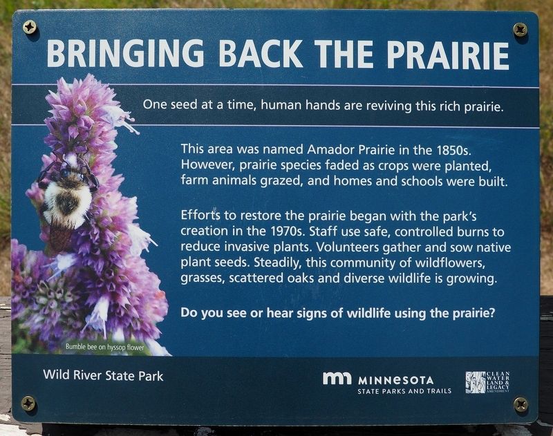
1. Bringing Back the Prairie Marker
One seed at a time, human hands are reviving this rich prairie.
This area was named Amador Prairie in the 1850s. However, prairie species faded as crops were planted, farm animals grazed, and homes and schools were built.
Efforts to restore the prairie began with the park's creation in the 1970s. Staff use safe, controlled burns to reduce invasive plants. Volunteers gather and sow native plant seeds. Steadily, this community of wildflowers, grasses, scattered oaks and diverse wildlife is growing.
Do you see or hear signs of wildlife using the prairie?
Bumble bee on hyssop flower
Erected by Minnesota Department of Natural Resources.
Topics. This historical marker is listed in these topic lists: Environment • Parks & Recreational Areas. A significant historical year for this entry is 1850.
Location. 45° 31.833′ N, 92° 44.272′ W. Marker is near Almelund, Minnesota, in Chisago County. It is in Wild River State Park. It can be reached from the main park road north of the road to the boat landing, on the left when traveling north. The marker is in Wild River State Park (fee area) at the prairie overlook. Touch for map.
this page online

Regionally, this marker is in the Twin Cities Metropolitan Area. It is also in the American Midwest and in the Corn Belt. Globally, it is in North America, the Western Hemisphere, the Western World, and the Anglosphere. Historically, it finds itself in what was once Rupert’s Land, the territory of the Mississippian Culture, and the Northwest Territory.
Other nearby markers. At least 8 other markers are within walking distance of this marker: What Happened (approx. half a mile away); What Was It Like (approx. half a mile away); Who Was Here First? (approx. 0.7 miles away); End of an Era (approx. 0.7 miles away); Nevers Dam (approx. 0.7 miles away); Timber! (approx. 0.7 miles away); Military Road (approx. 0.8 miles away); Wild River State Park (approx. 0.8 miles away). Touch for a list and map of all markers in Almelund.
Photographed by McGhiever, July 21, 2023
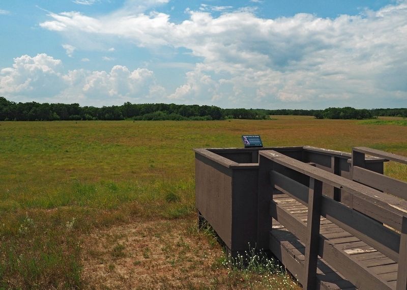
2. Bringing Back the Prairie Marker at the prairie overlook in Wild River State Park
Credits. This page was last revised on November 24, 2023. It was originally submitted on August 12, 2023, by McGhiever of Minneapolis, Minnesota. This page has been viewed 190 times since then and 26 times this year. Last updated on November 4, 2023, by McGhiever of Minneapolis, Minnesota. Photos: 1, 2. submitted on August 12, 2023, by McGhiever of Minneapolis, Minnesota. • J. Makali Bruton was the editor who published this page.
