McDowell in Highland County, Virginia — The American South (Mid-Atlantic)
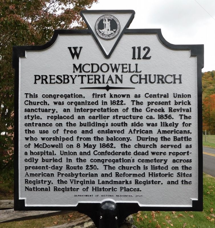
McDowell Presbyterian Church
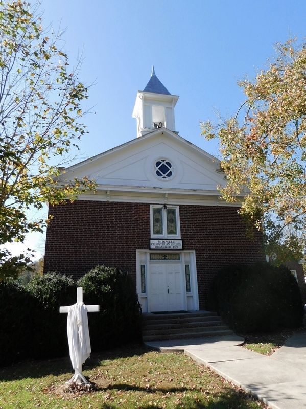
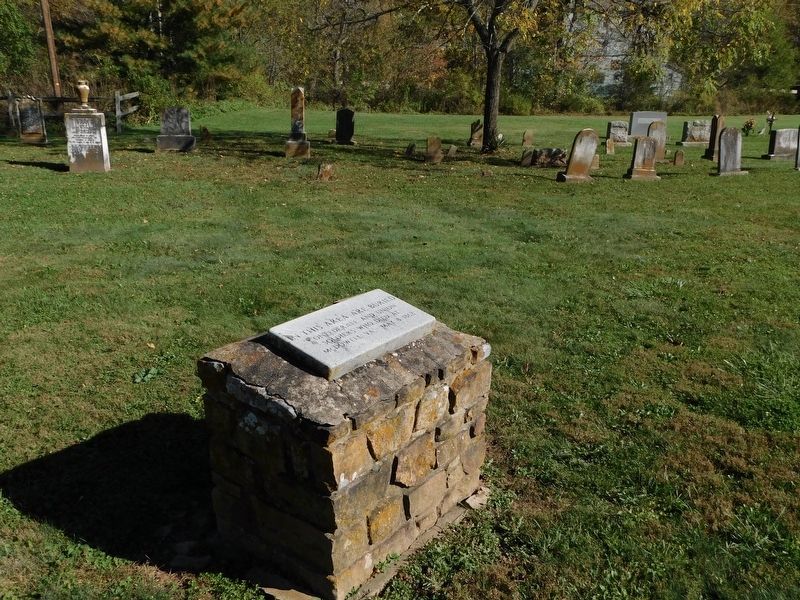
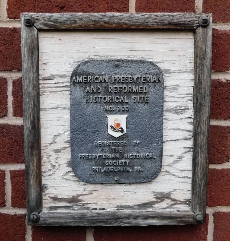
This congregation, first known as Central Union Church, was organized in 1822. The present brick sanctuary, an interpretation of the Greek Revival style, replaced an earlier structure ca. 1856. The entrance on the building's south side was likely for the use of free and enslaved African Americans, who worshiped from the balcony. During the Battle of McDowell on 8 May 1862, the church served as a hospital. Union and Confederate dead were reportedly buried in the congregation's cemetery across present-day Route 250. The church is listed on the American Presbyterian and Reformed Historic Sites Registry, the Virginia Landmarks Register, and the National Register of Historic Places.
Erected 2021 by Virginia Department of Historic Resources. (Marker Number W112.)
Topics and series. This historical marker is listed in these topic lists: African Americans • Cemeteries & Burial Sites • Churches & Religion • War, US Civil. In addition, it is included in the Virginia Department of Historic Resources (DHR) series list. A significant historical date for this entry is May 8, 1862.
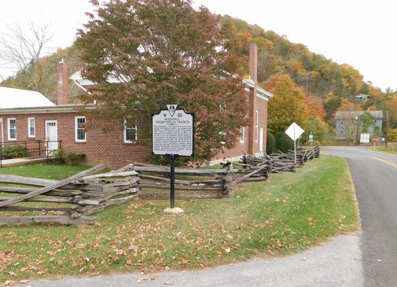
Location. 38° 19.913′ N, 79° 29.338′ W. Marker is in McDowell, Virginia, in Highland County. Marker is on Bullpasture River Road (Virginia Route 678) west of Highland Turnpike (U.S. 250), on the right when traveling west. Marker is located on the south side of McDowell Presbyterian Church. Touch for map. Marker is at or near this postal address: 67 Bullpasture River Road, Mc Dowell VA 24458, United States of America. Touch for directions.
Other nearby markers. At least 8 other markers are within walking distance of this marker. The Church and Cemetery (a few steps from this marker); Battle of McDowell (within shouting distance of this marker); McDowell VA - May 8, 1862 (within shouting distance of this marker); The Guns of Cemetery Hill (approx. 0.2 miles away); Felix Hull House (approx. ¼ mile away); a different marker also named Battle of McDowell (approx. ¼ mile away); Highway To War (approx. ¼ mile away); The Mansion House (approx. 0.4 miles away). Touch for a list and map of all markers in McDowell.
Credits. This page was last revised on November 6, 2023. It was originally submitted on November 6, 2023, by Bradley Owen of Morgantown, West Virginia. This page has been viewed 70 times since then and 30 times this year. Photos: 1, 2, 3, 4, 5. submitted on November 6, 2023, by Bradley Owen of Morgantown, West Virginia.
