Washington Avenue Coalition / Memorial Park in Houston in Harris County, Texas — The American South (West South Central)
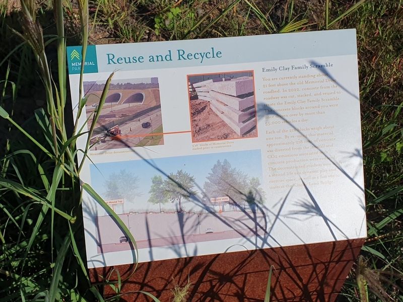
Emily Clay Family Scramble
Memorial Park
— Reuse and Recycle —
Emily Clay Family Scramble
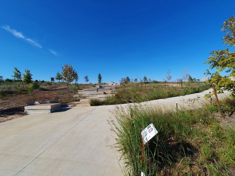
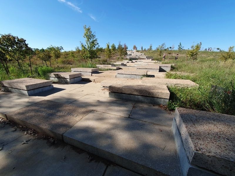
You are currently standing about 21 feet above the old Memorial Drive roadbed. In 2022, concrete from the roadway was cut, stacked and reused to create the Emily Clay Family Scramble. The concrete blocks around you were once driven over by more than 55,000 vehicles a day.
Each of the 216 blocks weigh about one ton. By re-using this material approximately 218 tons of concrete was diverted from the landfill and CO2 emissions associated with concrete production were reduced. The deconstructed roadway now finds a second life as a dynamic play and exercise space, as well as a fun way to traverse the Kinder Land Bridge.
Captions
Memorial Drive deconstruction
3’ x 6’ blocks of Memorial Drive stacked prior to construction
Topics. This historical marker is listed in these topic lists: Environment • Parks & Recreational Areas • Roads & Vehicles. A significant historical year for this entry is 2022.
Location. 29° 45.968′ N, 95° 26.497′ W. Marker is in Houston, Texas, in Harris County. It is in Washington Avenue Coalition / Memorial Park. Marker can be reached from Memorial Drive, on the left when traveling east. As the marker notes, it is on a pedestrian walkway that goes over Memorial Drive and connects to the Seymour Lieberman Exertrail to the north. Touch for map. Marker is at or near this postal address: 6501 Memorial Dr, Houston TX 77007, United States of America. Touch for directions.
Other nearby markers. At least 8 other markers are within 2 miles of this marker, measured as the crow flies. Camp Logan (approx. 0.9 miles away); Upper Buffalo Bayou in the Mid-1800s (approx. 1.4 miles away); The Pleasant Bend Plantation (approx. 1.4 miles away); Emancipation and African-American Migration (approx. 1.4 miles away); Grace Morse's Cemetery (approx. 1.4 miles away); Morse-Bragg Cemetery (approx. 1.4 miles away); St. Luke Missionary Baptist Church (approx. 1˝ miles away); First Baptist Church of Houston (approx. 1.6 miles away). Touch for a list and map of all markers in Houston.
Credits. This page was last revised on November 8, 2023. It was originally submitted on November 8, 2023, by J. Makali Bruton of Accra, Ghana. This page has been viewed 65 times since then and 26 times this year. Photos: 1, 2, 3. submitted on November 8, 2023, by J. Makali Bruton of Accra, Ghana.


