Near McDowell in Highland County, Virginia — The American South (Mid-Atlantic)
A Road From The Past
The Battle of McDowell (May 8, 1862)
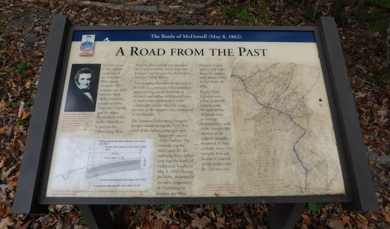
In front of you is the original road trace of the Staunton-Parkersburg Turnpike. The turnpike was built between 1838-1850, to provide a roadway from Staunton, Virginia, and the upper Shenandoah Valley to the Ohio River at present-day Parkersburg, West Virginia. The turnpike was designed by Claudius Crozet, famed Principal Engineer and Surveyor for the Virginia Board of Public Works.
The turnpike was originally planned to be built on a variation of the macadam plan, a paving system featuring an elevated road surface with several layers of small stones combined to make a watertight surface, but only some sections of the turnpike were completed in this manner.
The Staunton-Parkersburg Turnpike became crucial during the Civil War; some of the earliest campaigns were fought for control of the roadway. The turnpike was the main route for the opposing forces before and after the Battle of McDowell, fought on May 8, 1862. During the battle, members of the same community of Clarksburg (in modern-day West Virginia) fought against each other along the roadway itself, about a mile further down the pike.
By the 1920s, highways were paved to provide suitable roads for automobiles. Although some re-routing improvements were made, considerable sections of the original turnpike remained the best available route. The turnpike here was moved to your left where modern-day Rt. 250 now sits.
(Captions):
Claudius Crozet, who designed the turnpike described the route as a "sea of mountains and valleys with little level land" and rivers "flowing in every direction of the compass." Crozet was also one of the founders of the Virginia Military Institute.
Image Courtesy of the Virginia Military Institute Archives
The above image shows the standard construction of a macadamized roadway. Parts of the Staunton-Parkersburg Turnpike were macadamized.
This map shows the original route of the Staunton-Parkersburg Turnpike from Staunton to Clarksburg, Virginia.
Erected 2022 by Shenandoah Valley Battlefields Foundation.
Topics. This historical marker is listed in these topic lists: Roads & Vehicles • War, US Civil. A significant historical date for this entry is May 8, 1862.
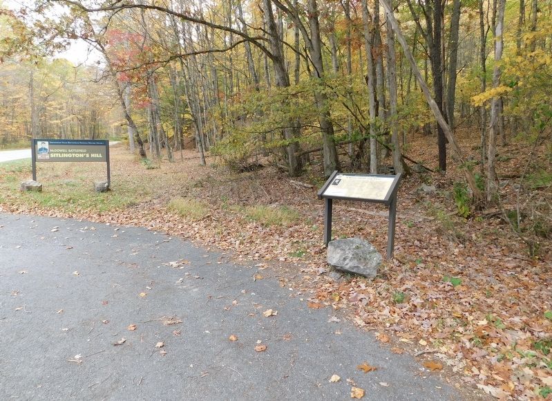
Location. 38° 19.452′ N, 79° 27.95′ W. Marker is near McDowell, Virginia, in Highland County. Marker is on Highland Turnpike (Virginia Route 250) 1½ miles east of Water Tank Road (Virginia Route 656), on the right when traveling east. Located at the pull-off for the trailhead for the McDowell Battlefield hiking trail. Touch for map. Marker is in this post office area: Mc Dowell VA 24458, United States of America. Touch for directions.
Other nearby markers. At least 8 other markers are within walking distance of this marker. Battle of McDowell (a few steps from this marker); Anthony's Burg (within shouting distance of this marker); Confederates Hold the High Ground (about 600 feet away, measured in a direct line); Two Plans Of Attack (approx. 0.2 miles away); Moving Uphill (approx. ¼ mile away); The Ravines (approx. 0.3 miles away); The Confederate Right (approx. 0.4 miles away); Sitlington's Hill (approx. 0.4 miles away). Touch for a list and map of all markers in McDowell.
Credits. This page was last revised on January 19, 2024. It was originally submitted on November 9, 2023, by Bradley Owen of Morgantown, West Virginia. This page has been viewed 84 times since then and 40 times this year. Photos: 1, 2. submitted on November 10, 2023, by Bradley Owen of Morgantown, West Virginia.

