Santa Barbara in Santa Barbara County, California — The American West (Pacific Coastal)
Burton’s Mound
Syuxtun Village
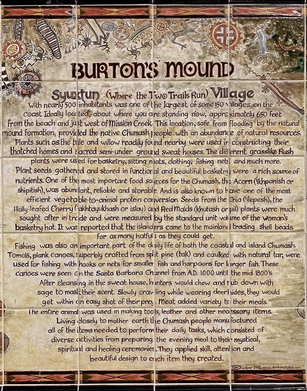
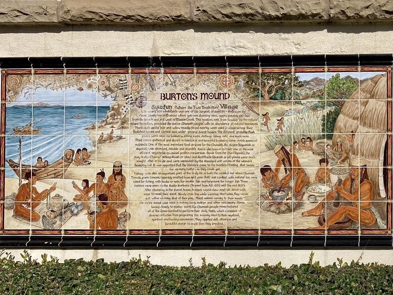
Syuxtun (where the Two Trails Run) Village with nearly 500 inhabitants was one of the largest of some 150 villages on the coast. Ideally located, about where you are standing now, approximately 650 feet from the beach and just west of Mission Creek. This location, safe from flooding by the natural mound formation, provided the native Chumash people with an abundance of natural resources. Plants such as the tule and willow readily found nearby were used in constructing their thatched homes and sacred semi-under ground sweat houses. The different grasslike Rush plants were used for basketry, sitting mats, clothing, fishing nets and much more.
Plant seeds gathered and stored in functional and beautiful basketry were a rich source of nutrients. One of the most important food sources for the Chumash, the Acorn (khpanish or shipitish), was abundant, reliable and storable. And is also known to have one of the most efficient vegetable-to-animal protein conversion. Seeds from the Chia (‘ilepesh), the Holly-leafed Cherry (‘akhtayukhash or islay) and Red Maids (khutash or pil) plants were much sought after in trade and were measured by the standard unit volume of the woman's basketry hat. It was reported that the islanders came to the mainland trading shell beads for as many hatfuls as they could get.
Fishing was also an important part of the daily life of both the coastal and island Chumash. Tomols, plank canoes, superbly crafted from split pine (tak) and caulked with natural tar, were used for fishing with hooks or nets for smaller fish and harpoons for larger fish. These canoes were seen on the Santa Barbara Channel from A.D. 1000 until the mid 1800's.
After cleansing in the sweat house, hunters would chew and rub down with sage to mask their scent. Slowly crawling while wearing deerhides, they would get within an easy shot of their prey. Meat added variety to their meals. The entire animal was used in making tools, leather and other necessary items.
Living closely to mother earth the Chumash people manufactured all of the items needed to perform their daily tasks, which consisted of diverse activities from preparing the evening meal to their mystical, spiritual and healing ceremonies. They applied skill, attention and beautiful design to each item they created.
Erected 2008 by artist S.H. Dunbar. (Marker Number 306.)
Topics and series. This historical marker is listed in these topic lists: Anthropology & Archaeology • Native Americans • Natural Resources • Waterways & Vessels. In addition, it is included in the California Historical Landmarks series list.
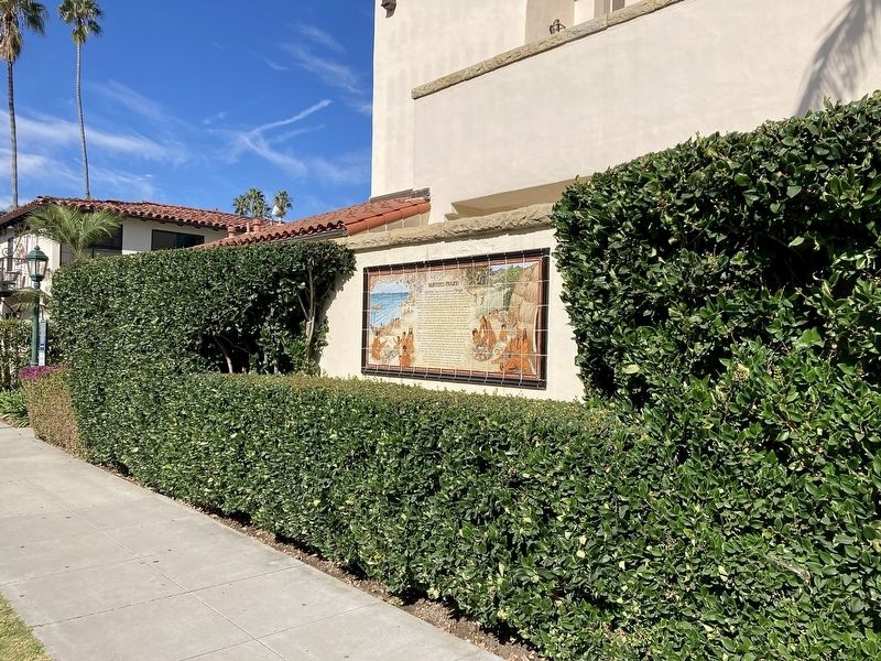
Location. 34° 24.703′ N, 119° 41.461′ W. Marker is in Santa Barbara, California, in Santa Barbara County. Marker is on Chapala Street north of Cabrillo Boulevard, on the right when traveling north. Touch for map. Marker is in this post office area: Santa Barbara CA 93101, United States of America. Touch for directions.
Other nearby markers. At least 8 other markers are within walking distance of this marker. Santa Barbara's First People (within shouting distance of this marker); Santa Barbara Veterans' Memorial Building (about 300 feet away, measured in a direct line); Burton Mound (about 400 feet away); Fly To-Day (about 500 feet away); Sambo's Birthplace (about 800 feet away); Santa Barbara Railroad Station (approx. 0.2 miles away); Private Railcar Spurs (approx. 0.2 miles away); Moreton Bay Fig Tree (approx. 0.2 miles away). Touch for a list and map of all markers in Santa Barbara.
Regarding Burton’s Mound. The village of Syuxtun is also known as Syujtun.
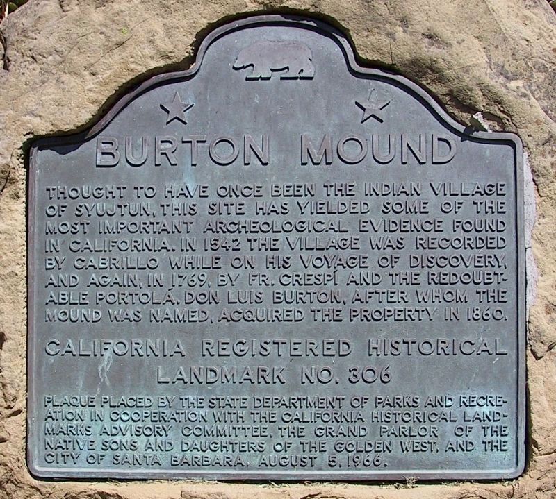
Portolá stated that at least 600 people lived here when he visited in 1769. The Santa Barbara Mission was founded in 1786, and the village had disappeared by the early 1830s. In 1923, archaeologist John P. Harrington excavated the property on behalf of the Smithsonian Institution. Over 2,500 objects were uncovered, which are now at the National Museum of the American Indian. This area was declared California Historical Landmark No. 306 in 1939, and a plaque was installed in Ambassador Park in 1966.
Related marker. Click here for another marker that is related to this marker. - Burton Mound, California Historical Landmark No. 306, located in nearby Ambassador Park.
Credits. This page was last revised on November 12, 2023. It was originally submitted on November 11, 2023, by Craig Baker of Sylmar, California. This page has been viewed 237 times since then and 176 times this year. Photos: 1, 2, 3, 4. submitted on November 11, 2023, by Craig Baker of Sylmar, California.


