Clive in Polk County, Iowa — The American Midwest (Upper Plains)
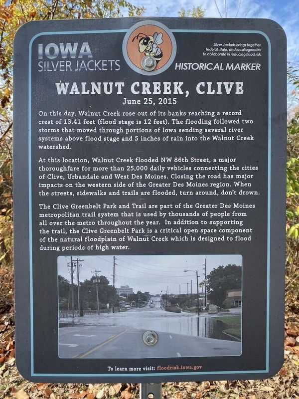
Walnut Creek, Clive
June 25, 2015
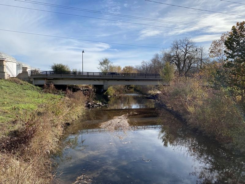
At this location, Walnut Creek flooded NW 86th Street, a major thoroughfare for more than 25,000 daily vehicles connecting the cities of Clive, Urbandale and West Des Moines. Closing the road has major impacts on the western side of the Greater Des Moines region. When the streets, sidewalks and trails are flooded, turn around, don't drown.
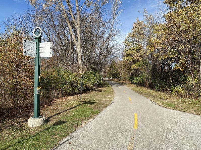
The Clive Greenbelt Park and Trail are part of the Greater Des Moines metropolitan trail system that is used by thousands of people from all over the metro throughout the year. In addition to supporting the trail, the Clive Greenbelt Park is a critical open space component of the natural floodplain of Walnut Creek which is designed to flood during periods of high water.
To learn more visit: floodrisk.iowa.gov
Silver Jackets brings together federal, state, and local agencies to collaborate in reducing flood risk
Historical Marker
Erected by Iowa Silver Jackets.
Topics. This historical marker is listed in these topic lists: Environment • Roads & Vehicles • Waterways & Vessels. A significant historical date for this entry is June 25, 2015.
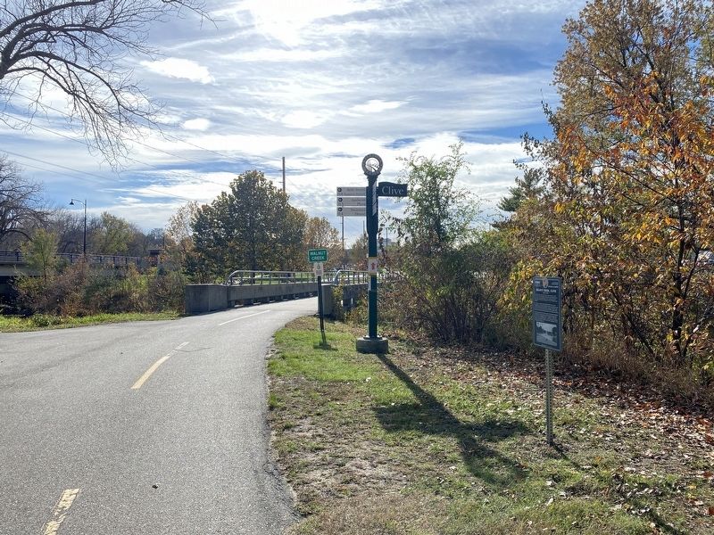
Location. 41° 36.154′ N, 93° 44.214′ W. Marker is in Clive, Iowa, in Polk County. Marker can be reached from Northwest 86th Street, 0.2 miles south of Swanson Boulevard, on the right when traveling south. Located south of Greenbelt Park, along the Clive Greenbelt Trail by Walnut Creek. Touch for map. Marker is in this post office area: Clive IA 50325, United States of America. Touch for directions.
Other nearby markers. At least 8 other markers are within 6 miles of this marker, measured as the crow flies. Prairie Engine (approx. ¼ mile away); Valley Junction (approx. 2.7 miles away); Welcome to the Jordan House (approx. 2.9 miles away); Paint It Black (approx. 4.3 miles away); Willkie House (approx. 5 miles away); The Historic Center Street Neighborhood (approx. 5.4 miles away); 'The Gift' from Rotary To The Children of the World (approx. 5.4 miles away); The Gray's Lake Story (approx. 5.4 miles away).
Also see . . . WATCH: Aerial Video of Des Moines Area Flooding | who13.com. (Submitted on November 15, 2023.)
Credits. This page was last revised on November 16, 2023. It was originally submitted on November 15, 2023. This page has been viewed 52 times since then and 20 times this year. Photos: 1, 2, 3, 4. submitted on November 15, 2023.


