Central Vancouver in Metro Vancouver, British Columbia — Canada’s West Coast (North America)
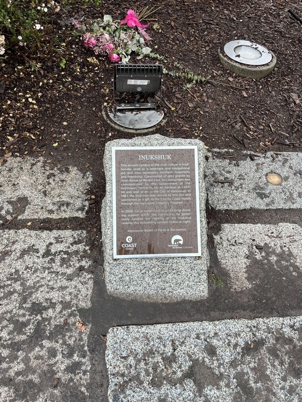
Inukshuk
Photographed by Adam Margolis, October 10, 2023
1. Inukshuk Marker
In 2006, Coas: Hotels continued its long-standing support within the community, by generously funding the lighting of the Inukshük making this welcoming symbol visible at night.
Erected by Vancouver Board of Parks & Recreation.
Topics. This historical marker is listed in these topic lists: Arts, Letters, Music • Indigenous Peoples and Communities • Parks & Recreational Areas. A significant historical year for this entry is 1987.
Location. 49° 17.058′ N, 123° 8.622′ W. Marker is in Vancouver, British Columbia, in Metro Vancouver. It is in Central Vancouver. It is on Beach Avenue. Touch for map. Marker is at or near this postal
this page online

Regionally, this marker is on the Lower Mainland and in Coast & Mountains. Globally, it is in North America, in the Cascade Range, in the Inside Passage, on the Ring of Fire, on the Pacific Rim, in the Western Hemisphere, in the Western World, and in the Anglosphere. Historically, it finds itself in what was once a British colony.
Other nearby markers. At least 8 other markers are within walking distance of this marker: Three English Greenhorns (approx. 0.4 kilometers away); Thomas Fee House (approx. 0.6 kilometers away); St. Paul's Anglican Episcopal Church (approx. 0.7 kilometers away); Roedde House (approx. 0.9 kilometers away); George Leslie's Lane Cottage (approx. one kilometer away); "O Canada" House (approx. 1.2 kilometers away); Before the Lagoon Was Lost (approx. 1.2 kilometers away); From Coal Seams to Park (approx. 1.2 kilometers away). Touch for a list and map of all markers in Vancouver.
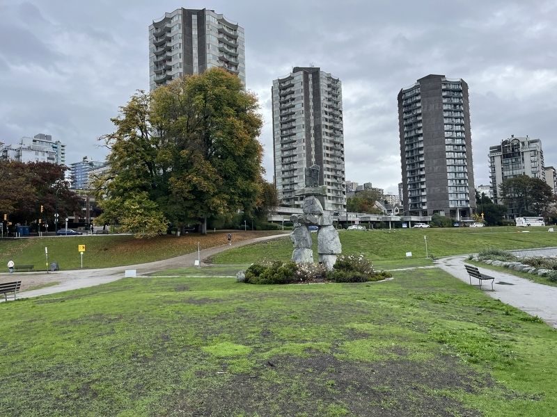
More about this marker. The Inukshuk and marker are just a few steps west of the Staley Park Seawall Path.
Photographed by Adam Margolis, October 10, 2023
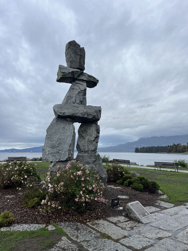
2. Inukshuk Marker
Photographed by Adam Margolis, October 10, 2023
3. Inukshuk Marker
Photographed by Adam Margolis, October 10, 2023
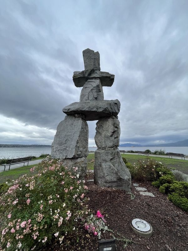
4. Inukshuk
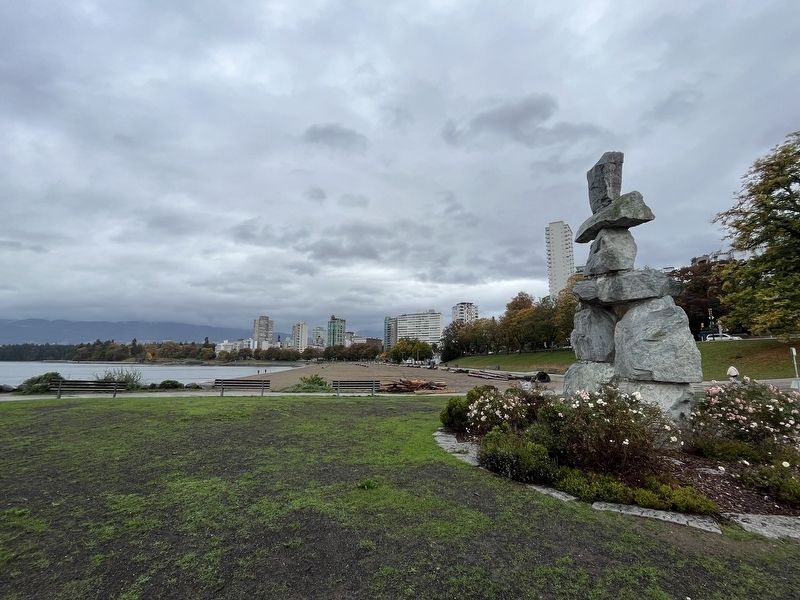
Photographed by Adam Margolis, October 10, 2023
5. Inukshuk Marker
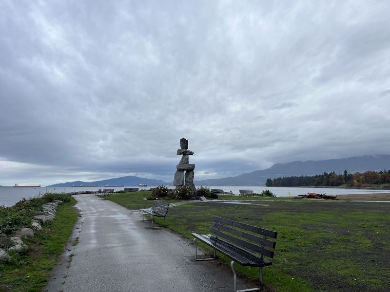
Photographed by Adam Margolis, October 10, 2023
6. Inukshuk Marker
Marker can be seen at the base of the sculpture.
Credits. This page was last revised on November 23, 2023. It was originally submitted on November 18, 2023, by Adam Margolis of Mission Viejo, California. This page has been viewed 188 times since then and 16 times this year. Photos: 1, 2, 3, 4, 5, 6. submitted on November 18, 2023, by Adam Margolis of Mission Viejo, California. • Andrew Ruppenstein was the editor who published this page.
