Ozark in Franklin County, Arkansas — The American South (West South Central)
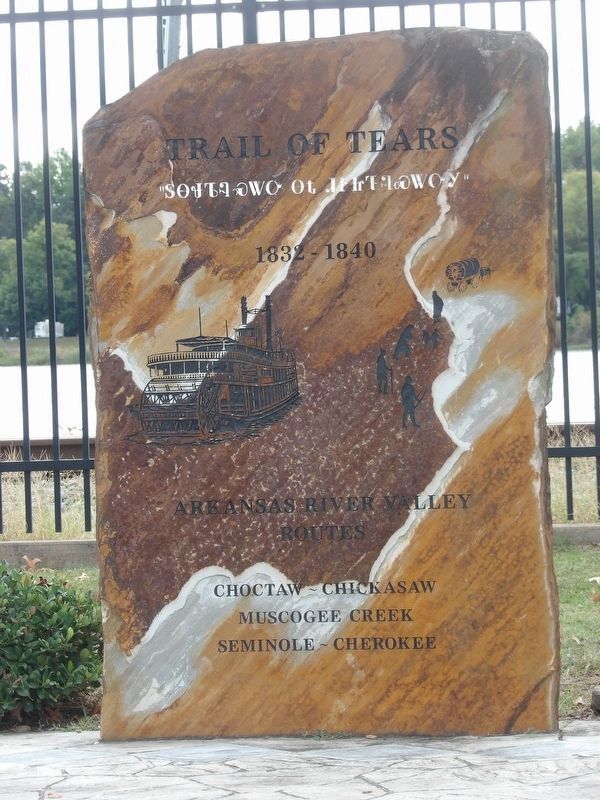
Trail of Tears Memorial
Inscription.
[Stone monument]
1832-1840
Arkansas River valley
routes
Choctaw – Chickasaw
Muscogee Creek
Seminole – Cherokee
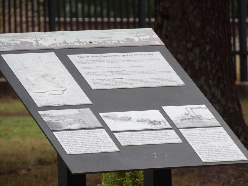
[Panel]
Trail of Tears Routes through Franklin County
1. Northern Route through Franklin County Land route followed State Hwy 352, from Clarksville to State Hwy 23 north of Ozark, then west on “Old Wire Road” to the Mulberry River. This was called the “Bell Route” during Indian removal.
2. Arkansas River Route Some members of all five tribes were removed by river boats through Ozark.
3. Land Route from Roseville, AR (This is a driving route with Trail of Tears road markers all the way to Ft. Smith) The river at times was too low for river boats to travel farther upstream than Roseville. So they traveled overland following State Hwy 288 west to State Hwy 60 (Old Military Road) continuing west to Ft. Smith.
4. The Old Military Road Little Rock to Ft. Gibson, OK. The section in the east part of Franklin County has a number of breaks from north of Paris until it joins State Hwy 60 at Hampton Road, then west. A major campsite was located N.W. of the intersection where State Hwy 217 crosses the Old Military Road (Hwy 60), called “Cherokee Prairie” today. The Seminoles' great medicine man “Yohola” died here and was buried on a hilltop possibly S.W. or S.E. of this intersection.
The Native Americans have been using the marble from Tate, GA since 800 A.D. (See the four diamonds at the base of the marker). The Cherokee were using it when the white man showed up in Georgia. Fritz Simons was the first white man to spot the marble in 1836, along the Old Federal Road. When the Cherokee were removed in 1838, he began his marble quarry operation. The Cherokee marble was used for the Lincoln Memorial as well as other government buildings in D.C.
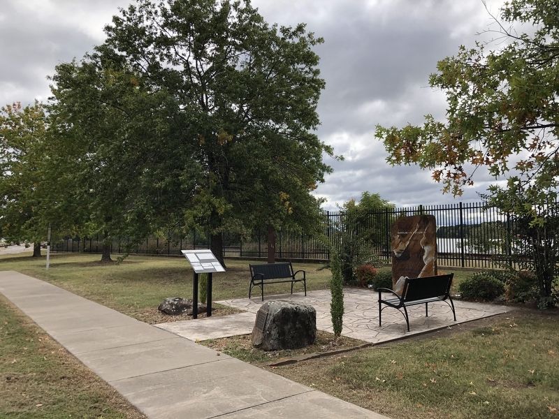
The large engraved marker and two smaller rocks in front came from a hilltop overlooking “The Old Military Road” that served as the Indian removal route for the five civilized tribes (Cherokee, Chickasaw, Choctaw, Muscogee-Creek and Seminole), passing south of Ozark.
Arkansas River route passing Ozark A part of all the five tribes (Cherokee, Chickasaw, Choctaw, Muscogee-Creek and Seminole) were removed by riverboat past this site. Records show 25 steamers were used in the removal with some boats making a number of trips.
In 1822, the Robert Thompson was the first steamer to navigate the Arkansas River up to Ft. Smith. It was carrying supplies for the military. The Arkansas River was dangerous to navigate with snags and sandbars. During the 133-year period 329 steamboats sank and 444 lives were lost on the river.
Topics. This historical marker and memorial is listed in these topic lists: Native Americans • Natural Resources • Roads & Vehicles • Waterways & Vessels. A significant historical year for this entry is 1836.
Location. 35° 29.099′ N, 93° 49.508′ W. Marker is in Ozark, Arkansas, in Franklin County. Marker is on East River Street east of South 1st Street, on the right when traveling east. Touch for map. Marker is at or near this postal address: 103 E River St, Ozark AR 72949, United States of America. Touch for directions.
Other nearby markers. At least 8 other markers are within 5 miles of this marker, measured as the crow flies. Skirmishes at Roseville (a few steps from this marker); Missouri-Pacific Depot, Ozark (within shouting distance of this marker); Bristow Hotel (about 600 feet away, measured in a direct line); In Memory of our Friends Lost in Korea, Vietnam & Iraq (about 800 feet away); World War I - Lest We Forget - World War II (about 800 feet away); Franklin County Court House (about 800 feet away); German-American Bank (approx. 4½ miles away); O'Kane-Jacobs House (approx. 4.6 miles away). Touch for a list and map of all markers in Ozark.
Credits. This page was last revised on November 26, 2023. It was originally submitted on November 26, 2023, by Duane and Tracy Marsteller of Murfreesboro, Tennessee. This page has been viewed 80 times since then and 36 times this year. Photos: 1, 2, 3. submitted on November 26, 2023, by Duane and Tracy Marsteller of Murfreesboro, Tennessee.


