Downtown in St. Louis, Missouri — The American Midwest (Upper Plains)
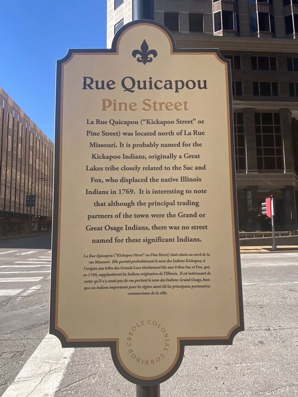
Rue Quicapou
Pine Street
La Rue Quicapou ("Kickapoo Street" or Pine Street) was located north of La Rue Missouri. It is probably named for the Kickapoo Indians, originally a Great Lakes tribe closely related to the Sac and Fox, who displaced the native Illinois Indians in 1769. It is interesting to note that although the principal trading partners of the town were the Grand or Great Osage Indians, there was no street named for these significant Indians.
Topics. This historical marker is listed in these topic lists: Colonial Era • Native Americans • Roads & Vehicles • Settlements & Settlers.
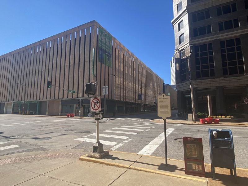
Location. 38° 37.626′ N, 90° 11.354′ W. Marker is in St. Louis, Missouri. It is in Downtown. Marker is at the intersection of North Broadway and Pine Street, on the left when traveling south on North Broadway. Touch for map. Marker is at or near this postal address: 111 North Broadway, Saint Louis MO 63102, United States of America. Touch for directions.
Other nearby markers. At least 8 other markers are within walking distance of this marker. William Clark died at this site (within shouting distance of this marker); The Mississippi Valley Trust Company (about 300 feet away, measured in a direct line); La Rue Missouri (about 300 feet away); Site of the Democratic National Convention of 1876 (about 300 feet away); Merchant Laclede Building (about 400 feet away); St. Charles Rock Road (about 400 feet away); Frankie Muse Freeman (about 500 feet away); The Security Building (about 500 feet away). Touch for a list and map of all markers in St. Louis.
Credits. This page was last revised on December 18, 2023. It was originally submitted on November 27, 2023, by Darren Jefferson Clay of Duluth, Georgia. This page has been viewed 71 times since then and 40 times this year. Photos: 1, 2. submitted on December 11, 2023, by Darren Jefferson Clay of Duluth, Georgia. • Devry Becker Jones was the editor who published this page.

