Calhoun Isles in Minneapolis in Hennepin County, Minnesota — The American Midwest (Upper Plains)
The Chain of Lakes
Linking the Lakes
— Minneapolis Park & Recreation Board 125th Anniversary —
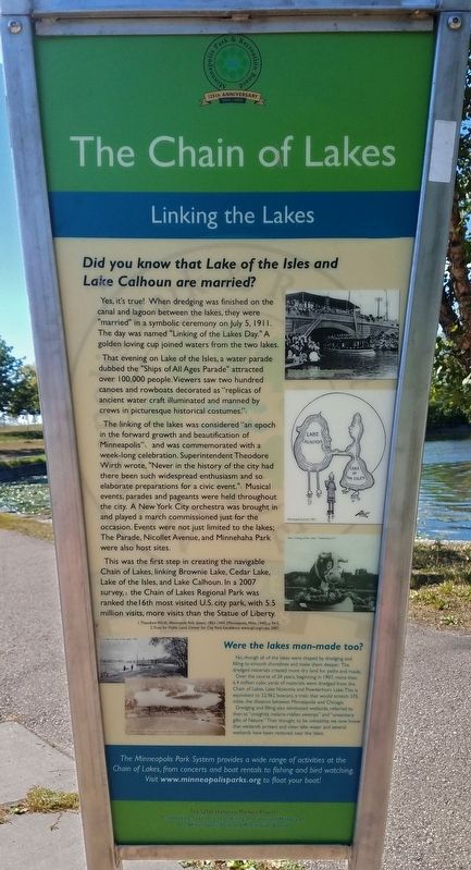
Did you know that Lake of the Isles and Lake Calhoun are married?
Yes, it's true! When dredging was finished on the canal and lagoon between the lakes, they were "married" in a symbolic ceremony on July 5, 1911. The day was named "Linking of the Lakes Day." A golden loving cup joined waters from the two lakes.
That evening on Lake of the Isles, a water parade dubbed the "Ships of All Ages Parade" attracted over 100,000 people. Viewers say two hundred canoes and rowboats decorated as "replicas of ancient water craft illuminated and manned by crews in picturesque historical costumes."*
The linking of the lakes was considered "an epoch in the forward growth and beautification of Minneapolis"* and was commemorated with a week-long celebration. Superintendent Theodore Wirth wrote, "Never in the history of the city had there been such widespread enthusiasm and so elaborate preparations for a civic event."* Musical events, parades and pageants were held throughout the city. A New York City orchestra was brought in and played a march commissioned just for the occasion. Events were not just limited to the lakes; The Parade, Nicollet Avenue, and Minnehaha Park were also host sites.
This was the first step in creating the navigable Chain of Lakes, linking Brownie Lake, Cedar Lake, Lake of the Isles, and Lake Calhoun. In a 2007 survey,† the Chain of Lakes Regional Park was ranked the 16th most visited U.S. city park, with 5.5 million visits, more visits than the Statue of Liberty.
* Theodore Wirth, Minneapolis Park System 1883–1944, (Minneapolis, Minn. 1945), p 94-5.
† Trust for Public Land, Center for City Park Excellence www.tpl.org/ccpe, 2007.
"Maid of the Isles," the first boat through the canal linking Lake of the Isles and Lake Calhoun, 1911
Minneapolis Journal, 1907
float, "Linking of the Lakes" Celebration, 1911
Were the lakes man-made too?
No, though all of the lakes were shaped by dredging and filling to smooth shorelines and make them deeper. The dredged materials created more dry land for paths and roads.
Over the course of 24 years, beginning in 1907, more than 6.4 million cubic yards of materials were dredged from the Chain of Lakes, Lake Nokomis and Powderhorn Lake. This is equivalent to 32,962 boxcars, a train that would stretch 370 miles, the distance between Minneapolis and Chicago.
Dredging and filling also eliminated wetlands, referred to then as "unsightly, malaria-ridden swamps" and "unsanitary gifts of Nature." Then thought to be unhealthy, we now know that wetlands protect and clean lake water
and several wetlands have been restored near the lakes.
dredge at Lake of the Isles, 1907
Lagoon between Lake Calhoun and Lake of the Isles, 1928
The Minneapolis Park System provides a wide range of activities at the Chain of Lakes, from concerts and boat rentals to fishing and bird watching. Visit www.minneapolisparks.org to float your boat!
Erected 2008 by the Minneapolis Park and Recreation Board.
Topics. This historical marker is listed in these topic lists: Entertainment • Environment • Parks & Recreational Areas • Waterways & Vessels. A significant historical date for this entry is July 5, 1911.
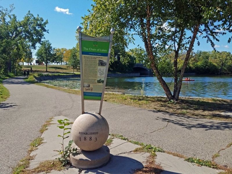
Location. 44° 57.002′ N, 93° 18.346′ W. Marker is in Minneapolis, Minnesota, in Hennepin County. It is in Calhoun Isles. Marker can be reached from the intersection of Bde Maka Ska Drive and The Mall, on the left when traveling north. The marker is on the paved path along the east shore of the Lake of the Isles Lagoon, between W. Lake Street and the Midtown Greenway. Touch for map. Marker is in this post office area: Minneapolis MN 55416, United States of America. Touch for directions.
Other nearby markers. At least 8 other markers are within walking distance of this marker. Minnesota World War I Marine Corps Memorial (about 500 feet away, measured in a direct line); In Memory of the Boys of Our Navy (about 500 feet away); Old Fort Snelling (about 600 feet away); You Are Here… Lake Calhoun (about 600 feet away); The Railroad and the City (approx. ¼ mile away); 1450 West Lake Street: Hove's/Lunds (approx. 0.3 miles away); 2901 Hennepin Avenue: Walker Branch Library (approx. 0.4 miles away); 2900 Hennepin Avenue: The Uptown Theater (approx. 0.4 miles away). Touch for a list and map of all markers in Minneapolis.
Credits. This page was last revised on November 30, 2023. It was originally submitted on November 28, 2023, by McGhiever of Minneapolis, Minnesota. This page has been viewed 53 times since then and 19 times this year. Last updated on November 30, 2023, by McGhiever of Minneapolis, Minnesota. Photos: 1, 2. submitted on November 28, 2023, by McGhiever of Minneapolis, Minnesota. • J. Makali Bruton was the editor who published this page.

