Oakwood Township near Bruce in Brookings County, South Dakota — The American Midwest (Upper Plains)
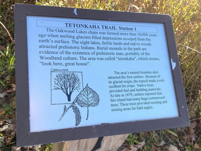
Cottonwood
Station 1
— Tetonkaha Trail —
The Oakwood Lakes chain was formed more than 10,000 years ago when melting glaciers filled depressions scooped from the earth's surface. The eight lakes, fertile lands and native woods attracted prehistoric Indians. Burial mounds in the park are evidence of the existence of prehistoric man, probably of the Woodland culture. The area was called "tetonkaha", which means "look here, great house".
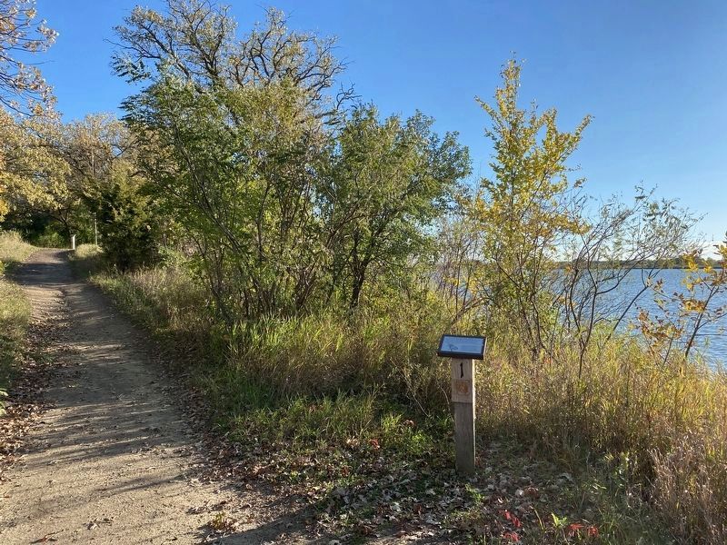
The area's natural bounties also attracted the first settlers. Because of its glacial origin, the topsoil made a rich seedbed for crops. Native trees provided fuel and building materials. As late as 1879, settlers reported that this island had many huge cottonwood trees. These trees provided roosting and nesting areas for bald eagles. (Marker Number 1.)
Topics. This historical marker is listed in these topic lists: Anthropology & Archaeology • Native Americans • Settlements & Settlers • Waterways & Vessels. A significant historical year for this entry is 1879.
Location. 44° 27.185′ N, 96° 59.677′ W. Marker is near Bruce, South Dakota, in Brookings County. It is in Oakwood Township. Marker can be reached from Oakwood Drive, 1.7 miles north of 204th Street (County Highway 6). Located in Oakwood State Park (fee area), along the Tetonkaha Trail on Scout Island. Touch for map. Marker is at or near this postal address: 20247 Oakwood Dr, Bruce SD 57220, United States of America. Touch for directions.
Other nearby markers. At least 8 other markers are within walking distance of this marker. Hackberry (within shouting distance of this marker); Muskrat (within shouting distance of this marker); Buckthorn, Catnip (about 500 feet away, measured in a direct line); a different marker also named Cottonwood (about 500 feet away); Gooseberries, Stinging Nettles (about 700 feet away); Dogwood, Jewelweed (approx. 0.2 miles away); Bur Oak (approx. ¼ mile away); 'Ol Spot Mortimer's Cabin (approx. ¼ mile away). Touch for a list and map of all markers in Bruce.
Credits. This page was last revised on March 18, 2024. It was originally submitted on December 3, 2023. This page has been viewed 52 times since then and 10 times this year. Photos: 1, 2. submitted on December 3, 2023.

