Near Raith in Thunder Bay District, Ontario — Central Canada (North America)
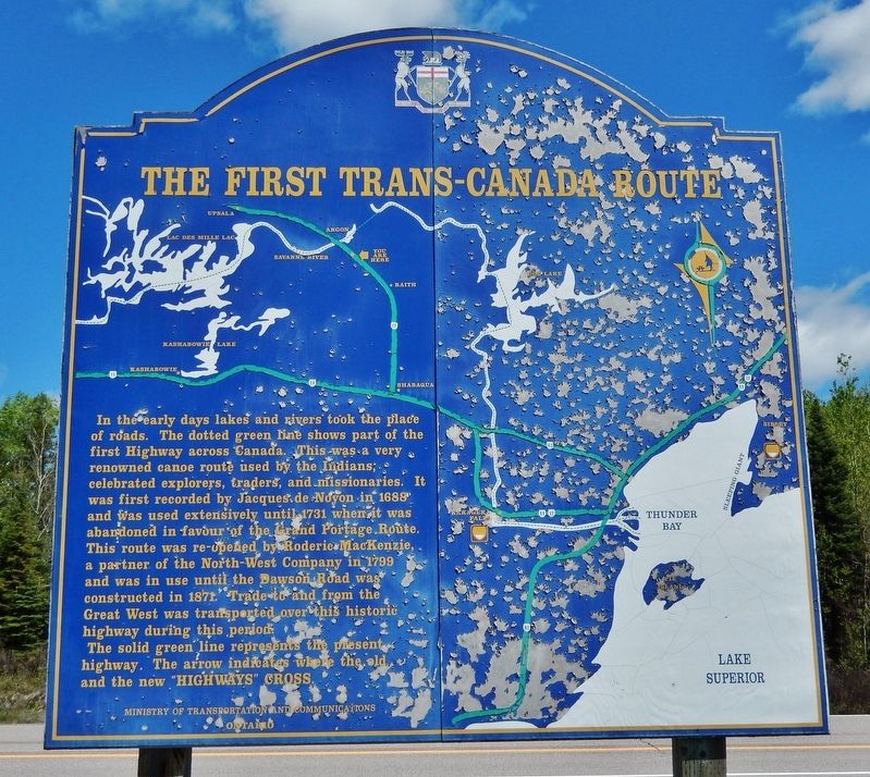
The First Trans-Canada Route
This route was re-opened by Roderic MacKenzie, a partner of the North-West Company in 1799 and was in used until the Dawson Road was constructed in 1871. Trade to and from the Great West was transported over this historic highway during this period.
The solid green line represents the present highway. The arrow indicates where the old and the new “Highways” cross.
Erected by Ontario Ministry of Transportation and Communications.
Topics. This historical marker is listed in these topic lists: Industry & Commerce • Native Americans • Roads & Vehicles • Waterways & Vessels. A significant historical year for this entry is 1688.
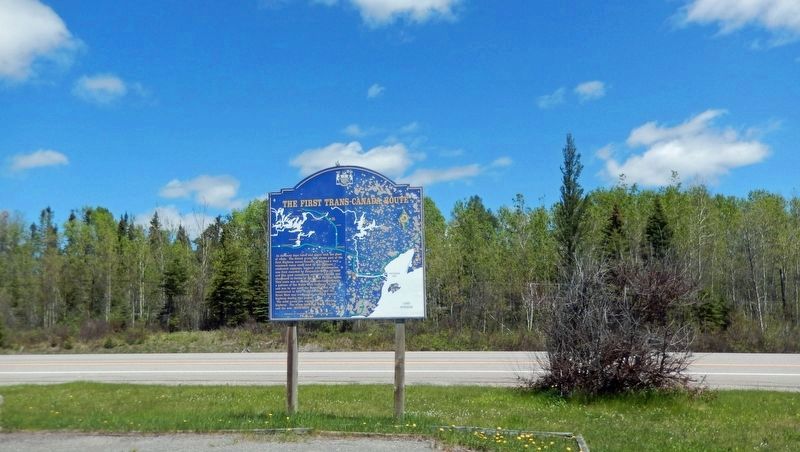
Location. 48° 54.147′ N, 90° 1.654′ W. Marker is near Raith, Ontario, in Thunder Bay District. Marker is on Trans-Canada Highway (Provincial Highway 17) 37.6 kilometers north of Trans-Canada Highway/Shabaqua Corners (Provincial Highway 11), on the left when traveling west. The marker is located at the Central/Eastern Standard Time Zone Rest Stop. Touch for map. Marker is in this post office area: Raith ON P0T 2N0, Canada. Touch for directions.
Other nearby markers. At least 2 other markers are within 13 kilometers of this marker, measured as the crow flies. Sir Sandford Fleming 1827-1915 (here, next to this marker); The Arctic Watershed (approx. 12.3 kilometers away).
Also see . . .
1. Grand Portage. Excerpt:
Grand Portage was a fur-trade depot and route of the voyageurs at the western extremity of Lake Superior. It was the first and most strenuous of the 29 portages from Lake Superior west to Lac La Croix.(Submitted on December 5, 2023, by Cosmos Mariner of Cape Canaveral, Florida.)
2. Dawson Trail. Excerpt:
Dawson Trail was the first all-Canadian route that linked the Great Lakes and the eastern provinces of upper Canada with the western prairies. Built in 1870 it was a water and land based route that began at Port Arthur (now Thunder Bay, Ontario) and ended at the Red River Settlement (now Winnipeg, Manitoba).(Submitted on December 5, 2023, by Cosmos Mariner of Cape Canaveral, Florida.)
Credits. This page was last revised on December 5, 2023. It was originally submitted on December 5, 2023, by Cosmos Mariner of Cape Canaveral, Florida. This page has been viewed 57 times since then and 21 times this year. Photos: 1, 2. submitted on December 5, 2023, by Cosmos Mariner of Cape Canaveral, Florida.

