Pequot Lakes in Crow Wing County, Minnesota — The American Midwest (Upper Plains)
Traditional Landscape
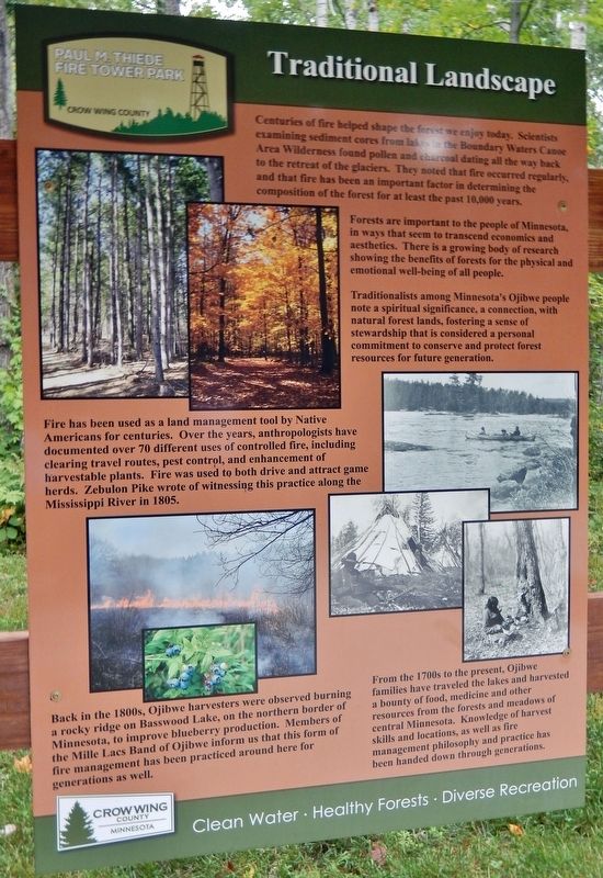
Centuries of fire helped shape the forest we enjoy today. Scientists examining sediment cores from lakes in the Boundary Waters Canoe Area Wilderness found pollen and charcoal dating all the way back to the retreat of the glaciers. They noted that fire occurred regularly, and that fire has been an important factor in determining the composition of the forest for at least the past 10,000 years.
Forests are important to the people of Minnesota, in ways that seem to transcend economics and aesthetics. There is a growing body of research showing the benefits of forests for the physical and emotional well-being of all people.
Traditionalists among Minnesota's Ojibwe people note a spiritual significance, a connection, with natural forest lands, fostering a sense of stewardship that is considered a personal commitment to conserve and protect forest resources for future generation.
Fire has been used as a land management tool by Native Americans for centuries. Over the years, anthropologists have documented over 70 different uses of controlled fire, including clearing travel routes, pest control, and enhancement of harvestable plants. Fire was used to both drive and attract game herds. Zebulon Pike wrote of witnessing this practice along the Mississippi River in 1805.
Back in the 1800s, Ojibwe harvesters were observed burning a rocky ridge on Basswood Lake, on the northern border of Minnesota, to improve blueberry production. Members of the Mille Lacs Band of Ojibwe inform us that this form of fire management has been practiced around here for generations as well.
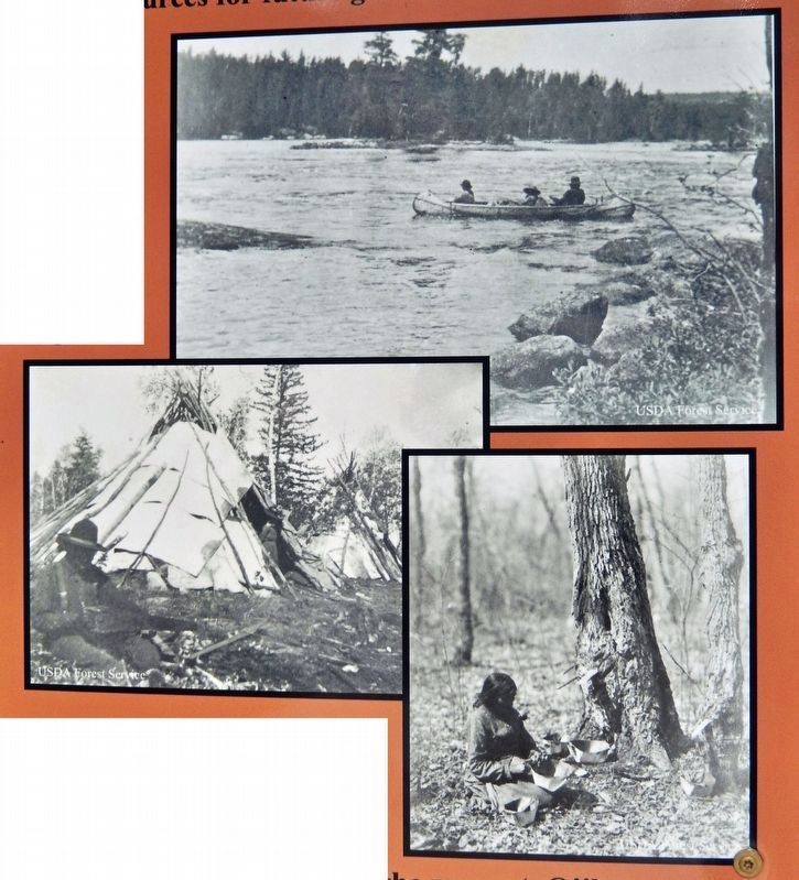
From the 1700s to the present, Ojibwe families have traveled the lakes and harvested a bounty of food, medicine and other resources from the forests and meadows of central Minnesota. Knowledge of harvest skills and locations, as well as fire management philosophy and practice has been handed down through generations.
Erected by Crow Wing County, Minnesota.
Topics. This historical marker is listed in these topic lists: Agriculture • Anthropology & Archaeology • Horticulture & Forestry • Native Americans.
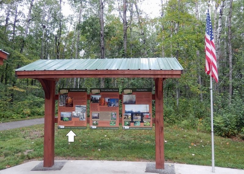
Location. 46° 36.246′ N, 94° 17.661′ W. Marker is in Pequot Lakes, Minnesota, in Crow Wing County. Marker can be reached from County Road 11, 0.3 miles east of State Highway 371, on the left when traveling east. The marker is located along the Fire Tower Trail in Paul M. Thiede Fire Tower Park. Touch for map. Marker is at or near this postal address: 5230 County Road 11, Pequot Lakes MN 56472, United States of America. Touch for directions.
Other nearby markers. At least 8 other markers are within walking distance of this marker. Fire and Healthy Forests (here, next to this marker); Prescribed Fire (here, next to this marker); Close to Home... Area Historic Wildfires (here, next to this marker); Firefighting Heritage (here, next to this marker); Recognition and Fame for The Pequot Lakes Fire Tower (a few steps from this marker); Minnesota's Most Devastating Wild Fires (a few steps from this marker); Don Nelson (a few steps from this marker); Paul M. Thiede Fire Tower Park (within shouting distance of this marker). Touch for a list and map of all markers in Pequot Lakes.
Related markers. Click here for a list of markers that are related to this marker. Paul M. Thiede Fire Tower Park
Credits. This page was last revised on December 9, 2023. It was originally submitted on December 5, 2023, by Cosmos Mariner of Cape Canaveral, Florida. This page has been viewed 50 times since then and 10 times this year. Photos: 1, 2, 3. submitted on December 6, 2023, by Cosmos Mariner of Cape Canaveral, Florida.


