Near Dickerson in Montgomery County, Maryland — The American Northeast (Mid-Atlantic)
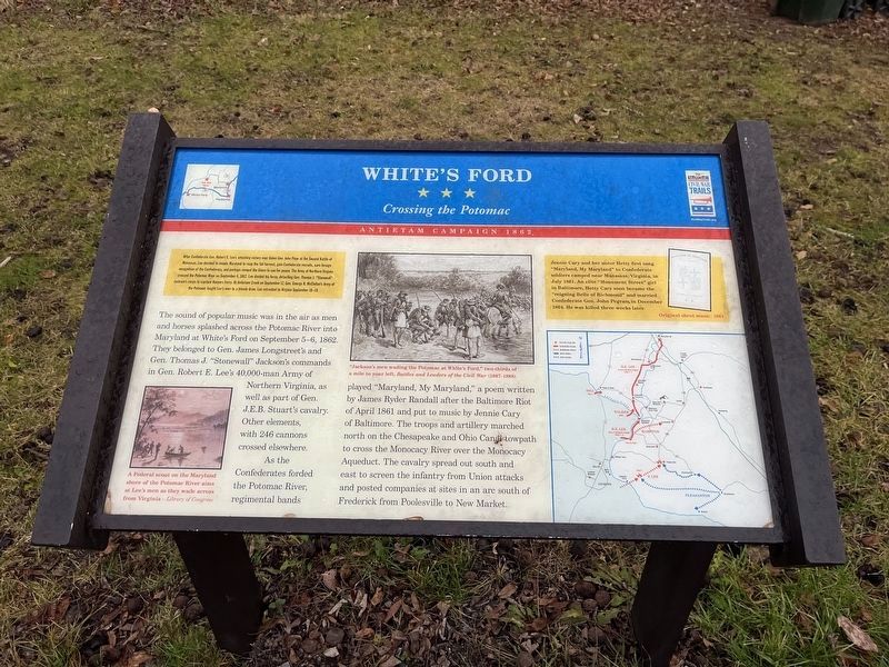
White's Ford
Crossing the Potomac
— Antietam Campaign 1862 —
After Confederate Gen. Robert E. Lee's smashing victory over Union Gen. John Pope at the Second Battle of Manassas, Lee decided to invade Maryland to reap the fall harvest, gain Confederate recruits, earn foreign recognition of the Confederacy, and perhaps compel the Union to sue for peace. The Army of Northern Virginia crossed the Potomac River on September 4, 1862. Lee divided his force, detaching Gen. Thomas J. "Stonewall" Jackson's corps to capture Harper's Ferry. At Antietam Creek on September 17, Gen. George B. McClellan's Army of the Potomac fought Lee's men to a bloody draw. Lee retreated to Virginia September 18-19.
The sound of popular music was in the air as men and horses splashed across the Potomac River into Maryland at White's Ford on September 5-6, 1862. They belonged to Gen. James Longstreet's and Gen. Thomas J. "Stonewall" Jackson's command in Gen. Robert E. Lee's 40,000-man Army of Northern Virginia, as well as part of Gen. J.E.B. Stuart's cavalry. Other elements, with 246 cannons crossed elsewhere.
As the Confederates forded the Potomac River, regimental bands played "Maryland, My Maryland," a poem written by James Ryder Randall after the Baltimore Riot of April 1861 and put to music by Jennie Cary of Baltimore. The troops and artillery marched north on the Chesapeake and Ohio Canal towpath to cross the Monocacy River over the Monocacy Aqueduct. The cavalry spread south and east to screen the infantry from Union attacks and posted companies at sites in an arc south of Frederick from Poolesville to New Market.
Jennie Cary and her sister Hetty first sang "Maryland, My Maryland" to Confederate soldiers camped near Manassas, Virginia, in July 1861. An elite "Monument Street" girl in Baltimore, Hetty Cary soon became the "reigning Belle of Richmond" and married Confederate Gen. John Pegram in December 1864. He was killed three weeks later.
Erected by Maryland Civil War Trails.
Topics and series. This historical marker is listed in these topic lists: Arts, Letters, Music • War, US Civil • Waterways & Vessels • Women. In addition, it is included in the Chesapeake and Ohio (C&O) Canal, and the Maryland Civil War Trails series lists. A significant historical month for this entry is April 1861.
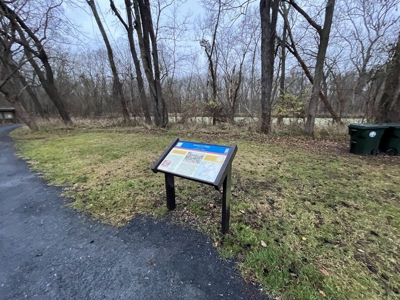
Location. 39° 11.675′ N, 77° 28.164′ W. Marker is near Dickerson, Maryland, in Montgomery County. Marker can be reached from Martinsburg Road, 1.2 miles west of Wasche Road, on the right when traveling west. Touch for map. Marker is in this post office area: Dickerson MD 20842, United States of America. Touch for directions.
Other nearby markers. At least 8 other markers are within 3 miles of this marker, measured as the crow flies. A different marker also named White's Ford
Related marker. Click here for another marker that is related to this marker. This marker has replaced the linked marker.
Credits. This page was last revised on December 10, 2023. It was originally submitted on December 10, 2023, by Devry Becker Jones of Washington, District of Columbia. This page has been viewed 60 times since then and 25 times this year. Photos: 1, 2. submitted on December 10, 2023, by Devry Becker Jones of Washington, District of Columbia.

