Ossining in Westchester County, New York — The American Northeast (Mid-Atlantic)
The Old Croton Aqueduct Promenade
⎯⎯⎯
El Paseo Marítimo del acueducto Old Croton
Ossining, New York
| — | The Museum in the Streets | — |
Photographed by Devry Becker Jones (CC0), March 5, 2022
1. The Old Croton Aqueduct Promenade / El Paseo Marítimo del acueducto Old Croton Marker

The Old Croton Aqueduct Promenade
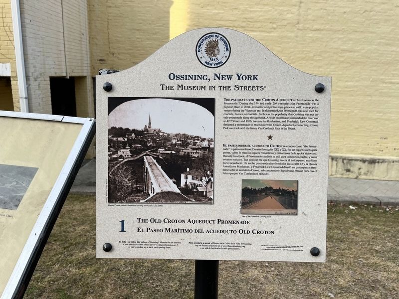
The pathway over the Croton Aqueduct arch is known as the Promenade. During the 19th and early 20th centuries, the Promenade was a popular place to stroll. Romantic and picturesque places to walk were popular venues during the Victorian era. In that period, the Promenade was also used for concerts, dances, and socials. Such as the popularity that Ossining was not the only promenade along the aqueduct. A wide promenade surrounded the reservoir at 42nd Street and Fifth Avenue in Manhattan, and Frederick Law Olmstead designated a promenade to extend over the Croton Aqueduct, connecting Jerome Park racetrack with the future Van Cortlandt Park in the Bronx.
El paseo sobre el acueducto Croton se conoce como “the Promenade”, o paseo marítimo. Durante los siglos XIX y XX, fue un lugar favorito para pasear, como lo eran los lugares románticos y pintorescos de la época victoriana. Durante esa época, el Promenade también se usó para conciertos, bailes, y otros eventos sociales. Tan popular era que Ossining no era el único paseo marítimo por
this page online
Erected by The Museum in the Streets. (Marker Number 1.)
Topics and series. This historical marker is listed in these topic lists: Architecture • Parks & Recreational Areas • Waterways & Vessels. In addition, it is included in the The Museum in the Streets: Ossining, New York series list.
Location. 41° 9.694′ N, 73° 51.755′ W. Marker is in Ossining, New York, in Westchester County. It is at the intersection of Main Street and Church Street, on the right when traveling west on Main Street. Touch for map. Marker is at or near this postal address: 169 Main St, Ossining NY 10562, United States of America. Touch for directions.

Regionally, this marker is in the Hudson Valley and in the New York City Metropolitan Area. It is also in the American Northeast, in the Mid-Atlantic, and on the Eastern Seaboard.
Photographed by Devry Becker Jones (CC0), March 5, 2022
2. The Old Croton Aqueduct Promenade / El Paseo Marítimo del acueducto Old Croton Marker
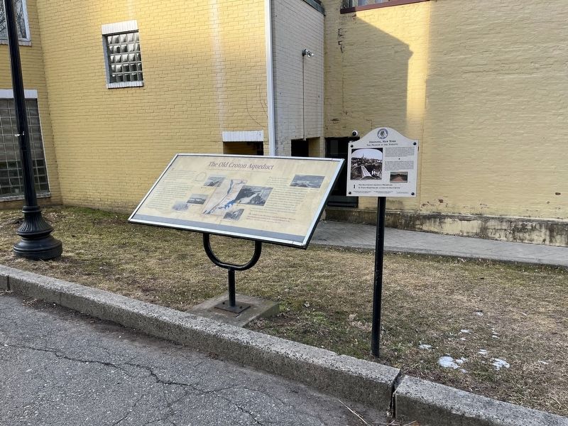
Other nearby markers. At least 8 other markers are within walking distance of this marker: The Old Croton Aqueduct (here, next to this marker); Ossining, New York (a few steps from this marker); The Double Arch / El Doble Arco (about 300 feet away, measured in a direct line); The Ossining Bank for Savings / El banco Sing Sing de Seguros (about 300 feet away); The Crescent / La Media Luna (about 300 feet away); The First Baptist Church / La Primera Iglesia Bautista (about 400 feet away); Trinity Episcopal Church / Iglesia Episcopal Trinity (about 400 feet away); The Ossining National Bank / El Banco Nacional de Ossining (about 400 feet away). Touch for a list and map of all markers in Ossining.
Credits. This page was last revised on July 12, 2025. It was originally submitted on March 7, 2022, by Devry Becker Jones of Washington, District of Columbia. This page has been viewed 221 times since then and 18 times this year. Last updated on December 15, 2023, by Carl Gordon Moore Jr. of North East, Maryland. Photos: 1, 2. submitted on March 7, 2022, by Devry Becker Jones of Washington, District of Columbia. • Michael Herrick was the editor who published this page.
