Middleburg in Loudoun County, Virginia — The American South (Mid-Atlantic)
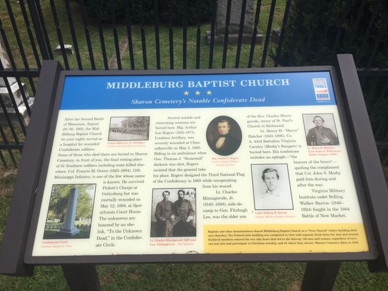
Middleburg Baptist Church
Sharon Cemetery’s Notable Confederate Dead
Photographed by Brandon Stahl, July 4, 2017
1. Middleburg Baptist Church Marker
Several notable and interesting veterans are buried here. Maj. Arthur Lee Rogers (1831-1871), Loudoun Artillery, was severely wounded at Chancellorsville on May 3, 1863. Riding in an ambulance when Gen. Thomas J. "Stonewall" Jackson was shot, Rogers insisted that the general take his place. Rogers designed the Third National Flag of the Confederacy in 1865 while recuperating from his wound.
Lt. Charles Minnigerode, Jr. (1845-1888), aide-de-camp to Gen. Fitzhugh Lee, was the elder son of the Rev. Charles Minnigerode,
this page online
Lt. Henry H. "Harry" Hatcher (1841-1895), Co. A, 43rd Battalion Virginia Cavalry (Mosby's Rangers) is buried here. His tombstone includes an epitaph—"the bravest of the brave"—quoting the compliment that Col. John S. Mosby paid him during and after the war.
Virginia Military Institute cadet Bolling Walker Barton (1846-1924) fought in the 1864 Battle of New Market.
(sidebar)
Baptists and other denominations shared Middleburg Baptist Church as a "free Church" before building their own churches. The Federal-style building was completed in 1844 with separate front doors for men and women. Enslaved members entered the two side doors that led to the balcony. All men and women, regardless of race, can now join and participate in Christian worship, and sit where they choose. Sharon Cemetery dates to 1849.
Erected by Virginia Civil War Trails.
Topics and series. This historical marker is listed in these topic lists: Cemeteries & Burial Sites • Religion & Religious Structures • War, US Civil. In addition, it is included in the Virginia Civil War Trails series list. A significant historical date for this entry is May 12, 1864.
Location. 38° 58.167′ N,
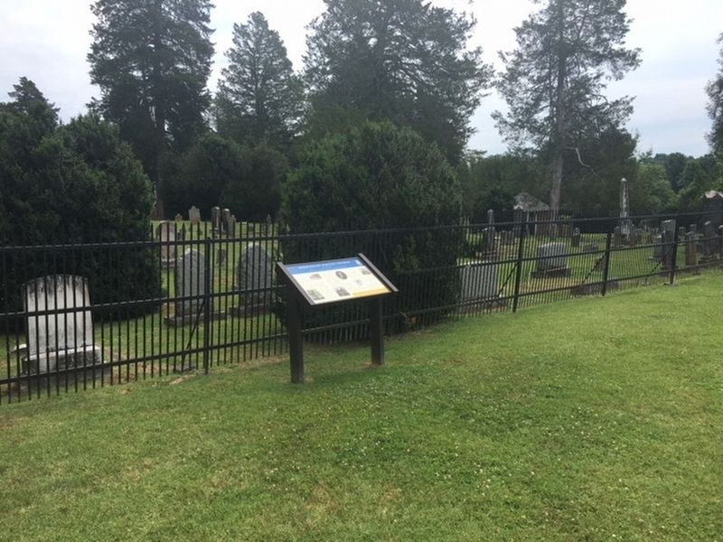
Photographed by Brandon Stahl, July 4, 2017
2. Middleburg Baptist Church Marker

Regionally, this marker is in the Washington Metropolitan Area and in Northern Virginia. It is also in the American South, specifically in the Upper South, and in the Mid-Atlantic. Globally, it is in North America, the Western Hemisphere, the Western World, and the Anglosphere. Historically, it finds itself in what was once the territory of the Mississippian Culture, one of the original Thirteen Colonies, one of the Confederate States of America, and the Antebellum South.
Other nearby markers. At least 8 other markers are within 2 miles of this marker, measured as the crow flies: To The Unknown Dead. (within shouting distance of this marker); The Red Fox Inn (approx. 0.2 miles away); Sergeant Henry Milton Seaton (approx.
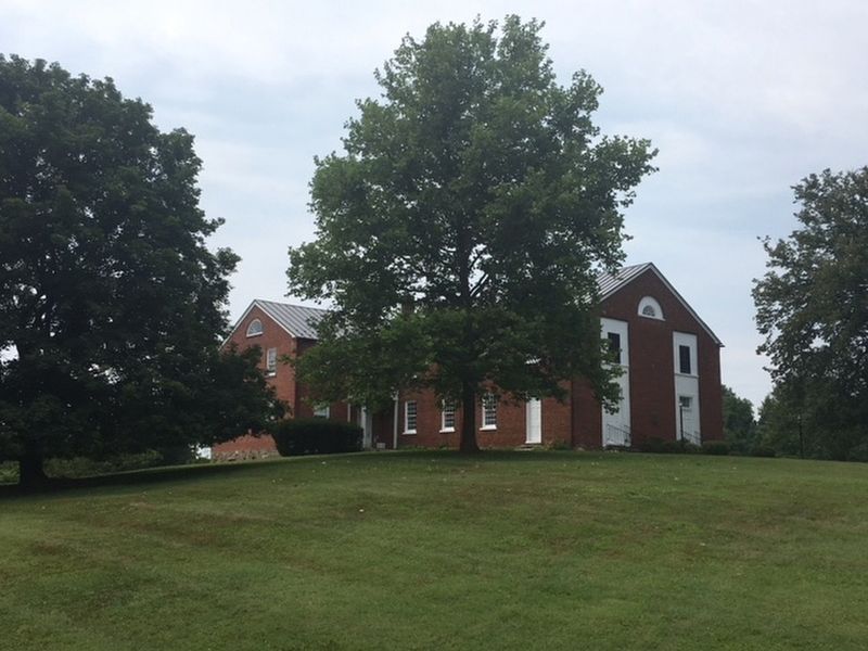
Photographed by Brandon Stahl, July 4, 2017
3. Middleburg Baptist Church
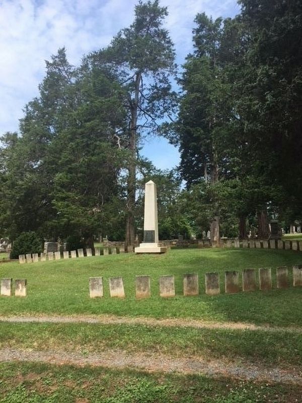
Photographed by Brandon Stahl, July 4, 2017
4. Confederate Circle
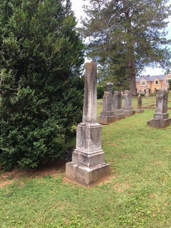
Photographed by Brandon Stahl, July 4, 2017
5. Lt. Henry Hatcher’s Grave
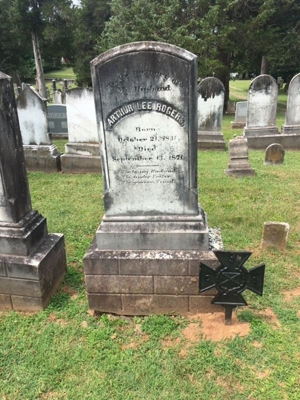
Photographed by Brandon Stahl, July 4, 2017
6. Maj. Arthur Roger’s Grave
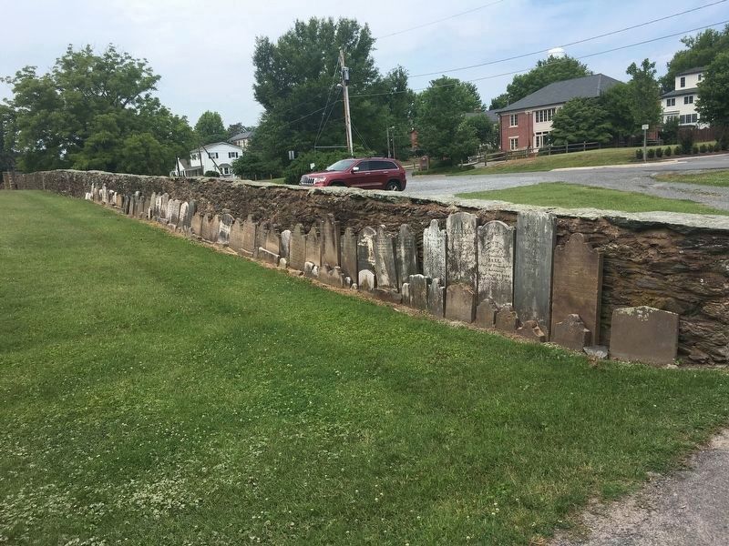
Photographed by Brandon Stahl, July 4, 2017
7. Stone Wall in Front of the Church
Credits. This page was last revised on December 27, 2023. It was originally submitted on May 30, 2018, by Brandon Stahl of Fairfax, Virginia. This page has been viewed 980 times since then and 95 times this year. Last updated on December 24, 2023, by Carl Gordon Moore Jr. of North East, Maryland. Photos: 1, 2, 3, 4, 5, 6. submitted on May 30, 2018, by Brandon Stahl of Fairfax, Virginia. 7. submitted on May 31, 2018, by Brandon Stahl of Fairfax, Virginia. • Bernard Fisher was the editor who published this page.
