Manassas, Virginia — The American South (Mid-Atlantic)
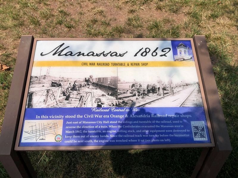
Manassas 1862
Civil War Railroad Turntable & Repair Shop
— Railroad Central to War —
Just east of Manassas City Hall stood the sidings and turntable of the railroad, used to reverse the direction of a train. When the Confederates evacuated the Manassas area in March 1862, the turntable, an engine, rolling stock, and other equipment were destroyed to keep them out of enemy hands. Since the railroad track was torn up before the locomotive could be sent south, the engine was wrecked where it sat (see photo on left).
Erected 2009.
Topics. This historical marker is listed in these topic lists: Railroads & Streetcars • War, US Civil. A significant historical month for this entry is March 1862.
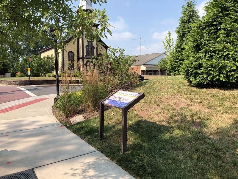
Location. 38° 45.11′ N, 77° 27.993′ W. Marker is in Manassas, Virginia. Marker is at the intersection of Fairview Avenue and Center Street (Virginia Highway 28), on the right when traveling south on Fairview Avenue. Touch for map. Marker is in this post office area: Manassas VA 20110, United States of America. Touch for directions.
Other nearby markers. At least 8 other markers are within walking distance of this marker. Katie Hooe House (about 600 feet away, measured in a direct line); Manassas 1850 (about 600 feet away); Manassas 1890 - 1900s (about 700 feet away); Steam Locomotive Tire Fire Alarm – 1909 (about 800 feet away); Wartime Manassas (approx. 0.2 miles away); Harry J. Parrish (approx. ¼ mile away); a different marker also named Steam Locomotive Tire Fire Alarm – 1909 (approx. ¼ mile away); The Right to Vote (approx. ¼ mile away). Touch for a list and map of all markers in Manassas.
Credits. This page was last revised on July 5, 2020. It was originally submitted on October 29, 2009, by Craig Swain of Leesburg, Virginia. This page has been viewed 1,149 times since then and 18 times this year. Photos: 1, 2. submitted on July 5, 2020, by Devry Becker Jones of Washington, District of Columbia. 3. submitted on October 29, 2009, by Craig Swain of Leesburg, Virginia.


