Laketon Township near Lake Norden in Brookings County, South Dakota — The American Midwest (Upper Plains)
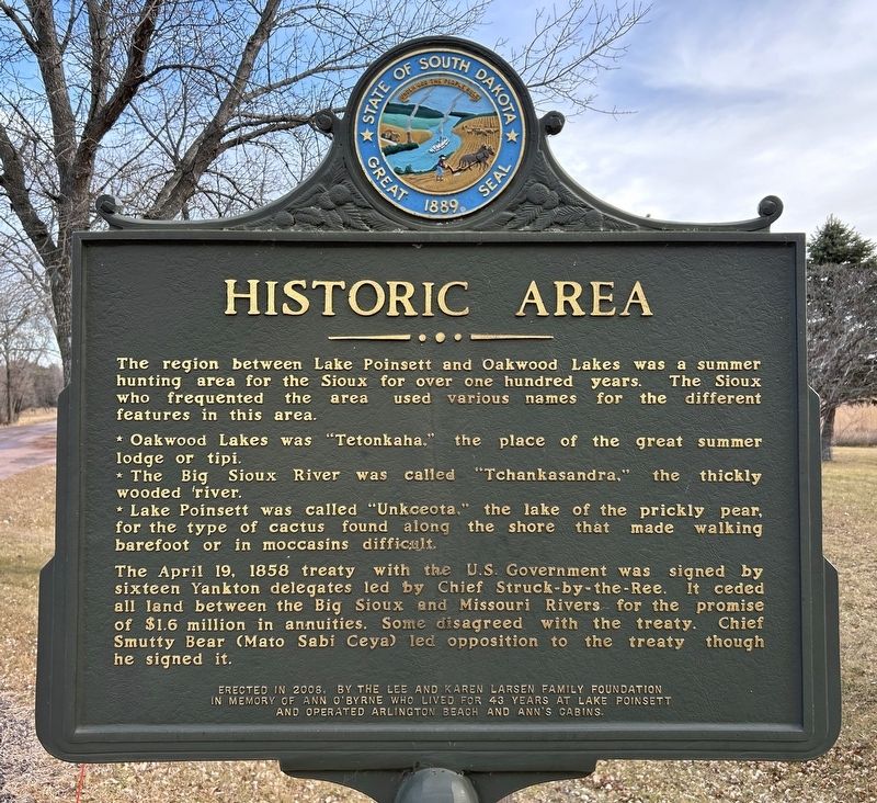
Historic Area
December 23, 2023
1. Historic Area Marker
* Oakwood Lakes was "Tetonkaha," the place of the great summer lodge or tipi.
* The Big Sioux River was called "Tchankasandra," the thickly wooded river.
* Lake Poinsett was called "Unkceota," the lake of the prickly pear, for the type of cactus found along the shore that made walking barefoot or in moccasins difficult.
The April 19, 1858 treaty with the U.S. Government was signed by sixteen Yankton delegates led by Chief Struck-by-the-Ree. It ceded all land between the Big Sioux and Missouri Rivers for the promise of $1.6 million in annuities. Some disagreed with the treaty. Chief Smutty Bear (Mato Sabi Ceya) led opposition to the treaty though he signed it.
Erected 2008 by the Lee and Karen Larsen Family Foundation in memory of Ann O'Byrne who lived for 43 years at Lake Poinsett and operated Arlington Beach and Ann's Cabins. (Marker Number 736.)
Topics and series. This historical marker is
this page online
Location. 44° 32.052′ N, 97° 5.209′ W. Marker is near Lake Norden, South Dakota, in Brookings County. It is in Laketon Township. It is on South Lake Drive east of 456th Avenue (County Highway 2), on the right when traveling east. Located just outside the entrance to Lake Poinsett Recreation Area. Touch for map. Marker is at or near this postal address: 45617 S Poinsett Dr, Arlington SD 57212, United States of America. Touch for directions.

Regionally, this marker is in East River. It is also in the American Midwest, in the Lewis & Clark Corridor, in the Corn Belt, on the prairies, and on the Northern Plains. Globally, it is in North America, the Western Hemisphere, the Western World, and the Anglosphere. Historically, it finds itself in what was once Rupert’s Land and also the Louisiana Purchase.
Other nearby markers. At least 8 other markers are within 7 miles of this marker, measured as the
December 23, 2023
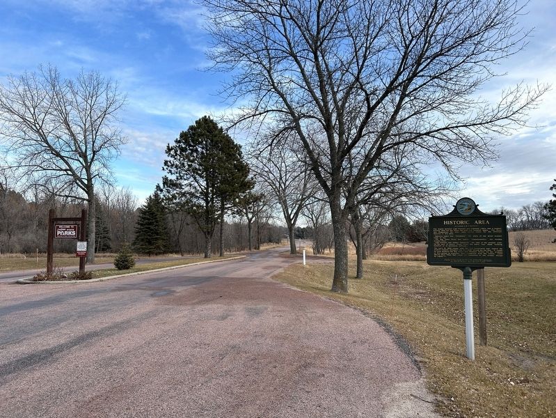
2. Historic Area Marker, from the west
December 23, 2023
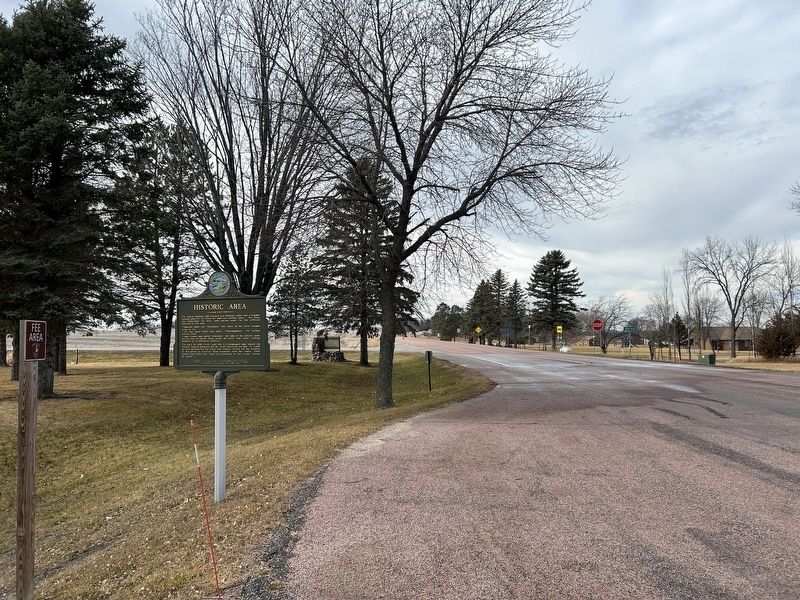
3. Historic Area Marker, from the east
December 23, 2023
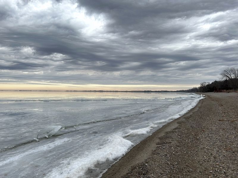
4. Lake Poinsett
Credits. This page was last revised on April 18, 2025. It was originally submitted on December 29, 2023. This page has been viewed 420 times since then and 79 times this year. Photos: 1, 2, 3, 4. submitted on December 29, 2023.
