Shockoe Slip in Richmond, Virginia — The American South (Mid-Atlantic)
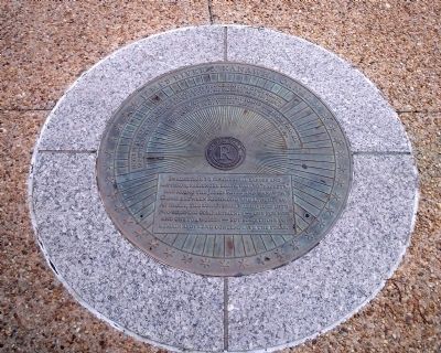
James River & Kanawha Canal
"The batteaux...charmed my young eyes more than all the gondolas of Venice." George William Bagby, c. 1830
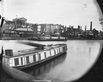
In addition to commercial barges and batteaux, passenger boats, called "packets," ran along the James River and Kanawha Canal between Richmond and Lynchburg. At night, the lower deck was divided into two sleeping compartments - one for men and one for women - but some chose to remain above and contemplate the stars.
Erected by Richmond Riverfront Canal Walk.
Topics. This historical marker is listed in these topic lists: Bridges & Viaducts • Industry & Commerce • Waterways & Vessels. A significant historical year for this entry is 1830.
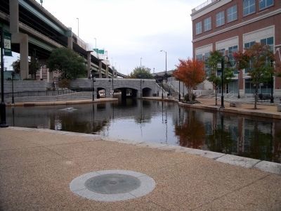
Location. 37° 31.997′ N, 77° 26.011′ W. Marker is in Richmond, Virginia. It is in Shockoe Slip. Marker can be reached from the intersection of Dock Street and South 14th. This marker is on the Richmond Riverfront Canal Walk between S 14th Street and Virginia Street. Touch for map. Marker is in this post office area: Richmond VA 23219, United States of America. Touch for directions.
Other nearby markers. At least 8 other markers are within walking distance of this marker. New Turning Basin (a few steps from this marker); Atlantic Sturgeon (a few steps from this marker); James River Bateaumen (within shouting distance of this marker); Canal Walk / Historic Canals (within shouting distance of this marker); Use of Arms (within shouting distance of this marker); Tobacco District (within shouting distance of this marker); Burnt District (within shouting distance of this marker); George Washington’s Vision (within shouting distance of this marker). Touch for a list and map of all markers in Richmond.
Also see . . .
1. Richmond’s Historic Canal Walk. Venture Richmond (Submitted on October 30, 2009.)
2. James River and Kanawha Canal Historic District. National Register of Historic Places (Submitted on October 30, 2009.)
Credits. This page was last revised on February 1, 2023. It was originally submitted on October 30, 2009, by Bernard Fisher of Richmond, Virginia. This page has been viewed 1,096 times since then and 18 times this year. Photos: 1, 2. submitted on October 30, 2009, by Bernard Fisher of Richmond, Virginia. 3. submitted on November 1, 2009, by Bernard Fisher of Richmond, Virginia.


