Shockoe Slip in Richmond, Virginia — The American South (Mid-Atlantic)
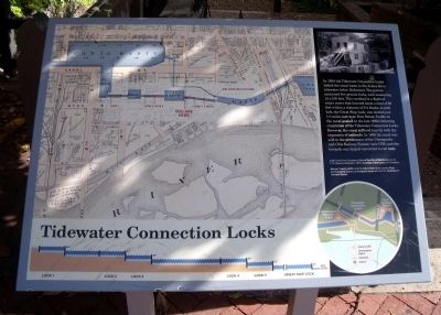
Tidewater Connection Locks
Photographed by Bernard Fisher, October 25, 2009
1. Tidewater Connection Locks Marker
Topics. This historical marker is listed in these topic lists: Bridges & Viaducts • Industry & Commerce • Railroads & Streetcars • Waterways & Vessels. A significant historical year for this entry is 1854.
Location. 37° 32.055′ N, 77° 26.161′ W. Marker is in Richmond, Virginia. It is in Shockoe Slip. It is at the intersection of South 12th Street and East Byrd Street, on the left when traveling south on South 12th Street.
this page online

Regionally, this marker is in Central Virginia. It is also in the American South and specifically in the Upper South. Globally, it is in North America, the Western Hemisphere, the Western World, and the Anglosphere. Historically, it finds itself in what was once the territory of the Mississippian Culture, one of the original Thirteen Colonies, one of the Confederate States of America, and the Antebellum South.
Other nearby markers. At least 8 other markers are within walking distance of this marker: James River & Kanawha Canal (within shouting distance of this marker); Christopher Newport Cross / Canal Walk (within shouting distance of this marker); Christopher Newport Monument (within shouting distance of this marker); Electric Trolley (within shouting distance of this marker); Gallego Mill Flume (within shouting distance of this marker); The Flour Trade (about 300 feet away, measured in a direct line); Inside A Flour Mill (about 300 feet away); Gallego Mills
Photographed by Bernard Fisher, October 25, 2009
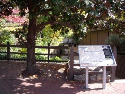
2. Richmond Riverfront Canal Walk
More about this marker. On the left of the panel is a map carrying the caption, "Left: Detail from Illustrated Atlas of the City of Richmond, Va. by F.W. Beers published in 1876. Courtesy of the Library of Congress
On the top right of the panel is a photo carrying the caption, "Above: Peachy Griffin and his wife in front of the James River and Kanawha Canal's lockkeeper's house at Lock #4. Courtesy of Dementi Studio
This marker is replicated along the Canal Walk.
Also see . . .
1. Richmond’s Historic Canal Walk. Venture Richmond (Submitted on October 30, 2009.)
2. James River and Kanawha Canal Historic District. National Register of Historic Places (Submitted on October 30, 2009.)
Photographed by Bernard Fisher, October 25, 2009
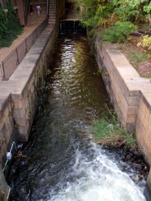
3. Tidewater Connection Locks
Photographed by Bernard Fisher, October 25, 2009
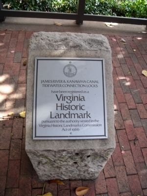
4. Nearby Historic Landmark Plaque
Credits. This page was last revised on February 1, 2023. It was originally submitted on October 30, 2009, by Bernard Fisher of Richmond, Virginia. This page has been viewed 1,244 times since then and 20 times this year. Photos: 1, 2, 3, 4. submitted on October 30, 2009, by Bernard Fisher of Richmond, Virginia.
