Shockoe Slip in Richmond, Virginia — The American South (Mid-Atlantic)
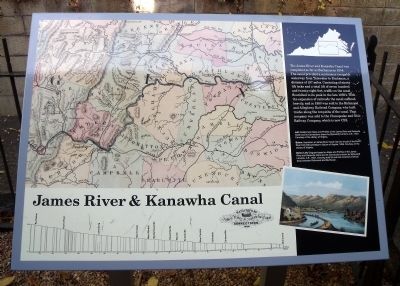
James River & Kanawha Canal
Topics. This historical marker is listed in these topic lists: Bridges & Viaducts • Industry & Commerce • Railroads & Streetcars • Waterways & Vessels. A significant historical year for this entry is 1854.
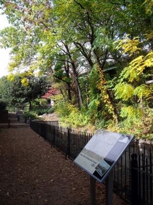
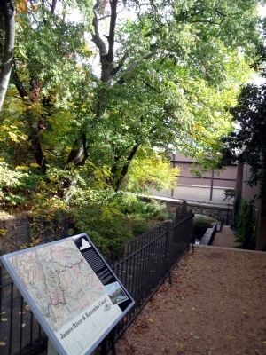
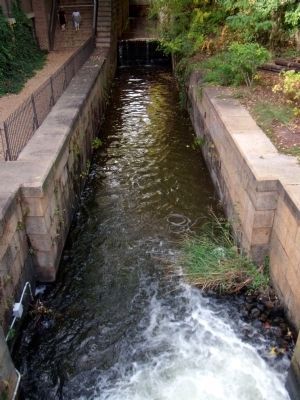
Location. 37° 32.042′ N, 77° 26.14′ W. Marker is in Richmond, Virginia. It is in Shockoe Slip. Marker can be reached from the intersection of South 12th Street and East Byrd Street. This marker is on the Richmond Riverfront Canal Walk between S 12th Street and Virginia Street. Touch for map. Marker is in this post office area: Richmond VA 23219, United States of America. Touch for directions.
Other nearby markers. At least 8 other markers are within walking distance of this marker. Tidewater Connection Locks (within shouting distance of this marker); Gallego Mill Flume (within shouting distance of this marker); Electric Trolley (within shouting distance of this marker); Christopher Newport Cross / Canal Walk (within shouting distance of this marker); The Center of Industry in 18th and 19th Century Richmond (within shouting distance of this marker); Christopher Newport Monument (within shouting distance of this marker); 13th Street Bridge (within shouting distance of this marker); A Bateau Pole (about 300 feet away, measured in a direct line). Touch for a list and map of all markers in Richmond.
More about this marker. On the left side of the panel is a map carrying the caption, "Left: Details from Maps and Profiles of the James River and Kanawha Canal and Its Connections drawn by E[dwuard] Lorraine, C.E., 1857. Courtesy of the Library of Virginia
On the bottom right of the panel is a color illustration carrying the caption, "Below: Illustration of the James River Canal near the mouth of the North River from Edward Beyer's Album of Virginia, 1858. Courtesy of the Library of Virginia
On the bottom left of the panel is a diagram carrying the caption, "Below Left: Diagram based on Maps and Profiles of the James River and Kanawha Canal and Its Connections drawn by E[dwuard] Lorraine, C.E., 1857, showing total lift and lock locations (vertical bars) between Richmond and Buchanan.
Also see . . .
1. Richmond’s Historic Canal Walk. Venture Richmond (Submitted on October 30, 2009.)
2. James River and Kanawha Canal Historic District. ational Register of Historic Places (Submitted on October 30, 2009.)
Credits. This page was last revised on February 1, 2023. It was originally submitted on October 30, 2009, by Bernard Fisher of Richmond, Virginia. This page has been viewed 2,726 times since then and 43 times this year. Photos: 1, 2, 3, 4, 5. submitted on October 30, 2009, by Bernard Fisher of Richmond, Virginia.
