Shockoe Slip in Richmond, Virginia — The American South (Mid-Atlantic)
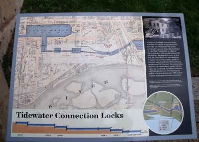
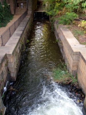
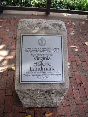
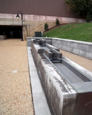
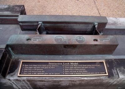
Tidewater Connection Locks
Topics. This historical marker is listed in these topic lists: Bridges & Viaducts • Industry & Commerce • Railroads & Streetcars • Waterways & Vessels. A significant historical year for this entry is 1854.
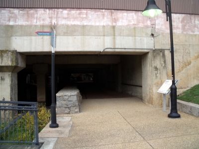
Location. 37° 32.013′ N, 77° 26.081′ W. Marker is in Richmond, Virginia. It is in Shockoe Slip. Marker can be reached from the intersection of South 14th Street (U.S. 360) and Dock Street. This marker is on the Richmond Riverfront Canal Walk between Virginia Street and S 12th Street. Touch for map. Marker is in this post office area: Richmond VA 23219, United States of America. Touch for directions.
Other nearby markers. At least 8 other markers are within walking distance of this marker . Tidewater Lock View (a few steps from this marker); A Bateau Pole (a few steps from this marker); 13th Street Bridge (within shouting distance of this marker); The Center of Industry in 18th and 19th Century Richmond (within shouting distance of this marker); Gallego Mill Flume (within shouting distance of this marker); James River & Kanawha Canal (about 300 feet away, measured in a direct line); James River Bateaumen (about 300 feet away); Tobacco District (about 300 feet away). Touch for a list and map of all markers in Richmond.
More about this marker. On the left of the panel is a map carrying the caption, "Left: Detail from Illustrated Atlas of the City of Richmond, Va. by F.W. Beers published in 1876. Courtesy of the Library of Congress
On the top right of the panel is a photo carrying the caption, "Above: Peachy Griffin and his wife in front of the James River and Kanawha Canal's lockkeeper's house at Lock #4. Courtesy of Dementi Studio
This marker is replicated along the Canal Walk.
Also see . . .
1. Richmond’s Historic Canal Walk. Venture Richmond (Submitted on October 31, 2009.)
2. James River and Kanawha Canal Historic District. National Register of Historic Places (Submitted on October 31, 2009, by Bernard Fisher of Richmond, Virginia.)
Credits. This page was last revised on February 1, 2023. It was originally submitted on October 31, 2009, by Bernard Fisher of Richmond, Virginia. This page has been viewed 1,130 times since then and 59 times this year. Photos: 1, 2, 3, 4, 5, 6. submitted on October 31, 2009, by Bernard Fisher of Richmond, Virginia.
