
Downtown in Indianapolis in Marion County, Indiana — The American Midwest (Great Lakes)
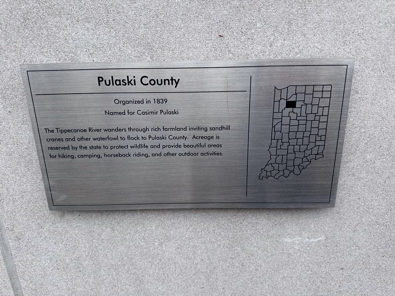
Pulaski County
Organized in 1839
| — | Named for Casimir Pulaski | — |
Photographed by J.T. Lambrou, December 30, 2023
1. Pulaski County Marker
Erected 2002.
Topics. This historical marker is listed in these topic lists: Animals • Parks & Recreational Areas • Political Subdivisions • Waterways & Vessels. A significant historical year for this entry is 1839.
Location. 39° 46.136′ N, 86° 10.119′ W. Marker is in Indianapolis, Indiana, in Marion County. It is in Downtown. It can be reached from North Blackford Street north of Indianapolis Cultural Trail, on the right when traveling north. Touch for map. Marker is at or near this postal address: 650 West Washington Street, Indianapolis IN 46204, United States of America. Touch for directions.

Regionally, this marker is in Central Indiana. It is also in the American Midwest and in the Corn Belt. Globally, it is in North America, the Western Hemisphere, the Western World, and the Anglosphere. Historically, it finds itself
this page online
Other nearby markers. At least 8 other markers are within walking distance of this marker: Daviess County (here, next to this marker); Jasper County (here, next to this marker); Ripley County (here, next to this marker); Wayne County (here, next to this marker); Blackford County (here, next to this marker); Madison County (a few steps from this marker); Carroll County (a few steps from this marker); Spencer County (a few steps from this marker). Touch for a list and map of all markers in Indianapolis.
Also see . . . Pulaski County. (Submitted on January 6, 2024, by J.T. Lambrou of New Boston, Michigan.)
Additional commentary.
1. Counties
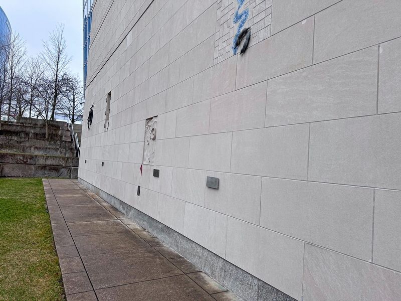
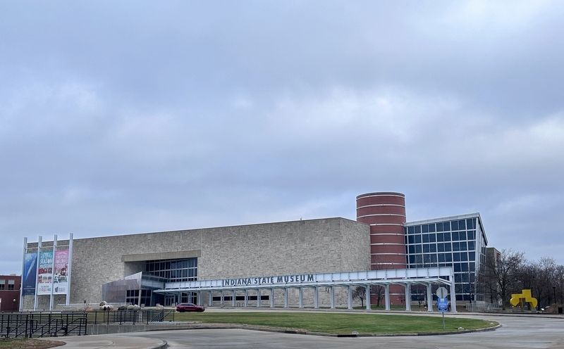
This is one of 92 markers on the perimeter of the Indiana State Museum, one for each county.
— Submitted January 6, 2024, by J.T. Lambrou of New Boston, Michigan.
Photographed by J.T. Lambrou, December 30, 2023
2. Pulaski County Marker
Photographed by J.T. Lambrou, December 30, 2023
3. Location of the marker
Photographed by Jan Styka, Unknown
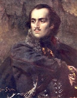
4. Count Kazimierz Pułaski
Credits. This page was last revised on January 6, 2024. It was originally submitted on January 6, 2024, by J.T. Lambrou of New Boston, Michigan. This page has been viewed 123 times since then and 10 times this year. Photos: 1, 2, 3, 4. submitted on January 6, 2024, by J.T. Lambrou of New Boston, Michigan. • Devry Becker Jones was the editor who published this page.
