Spy Run in Fort Wayne in Allen County, Indiana — The American Midwest (Great Lakes)
The Headwaters of the Maumee River
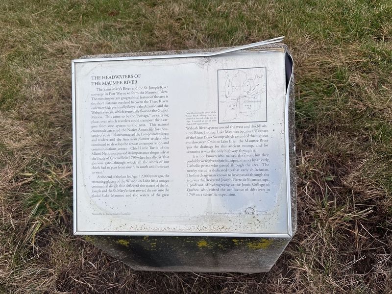
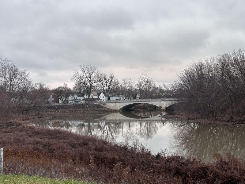
The Saint Mary's River and the St. Joesph River converge in Fort Wayne to form the Maumee River. The most important geographical feature of the area is the short distance overland between the Three Rivers system, which eventually flows to the Atlantic, and the Wabash system, which eventually flows to the Gulf of Mexico. This came to be the "portage, or carrying place, over which travelers could transport their cargoes from one system to the next. This natural crossroads attracted the Native Americans for thousands of years. It later attracted the European explorers and traders and the American pioneer settlers who continued to develop the area as a transportation and communications center. Chief Little Turtle of the Miami Nation expressed its importance eloquently at the Treaty of Greenville in 1795 when he called it "that glorious gate…through which all the words of our chiefs had to pass from north to south and from east to west."
At the end of the last Ice Age, 12.000 years ago, the retreating glacier of the Wisconsin Lobe left a unique continental divide that deflected the waters of the St. Joseph and the St. Mary's rivers toward the east into the glacial Lake Maumee and the waters of the great Wabash River system toward the west and the Mississippi River. In time, Lake Maumee became the center of the Great Black Swamp which extended throughout northwestern Ohio to Lake Erie; the Maumee River was the drainage for this ancient swamp, and for centuries it was the only highway through it.
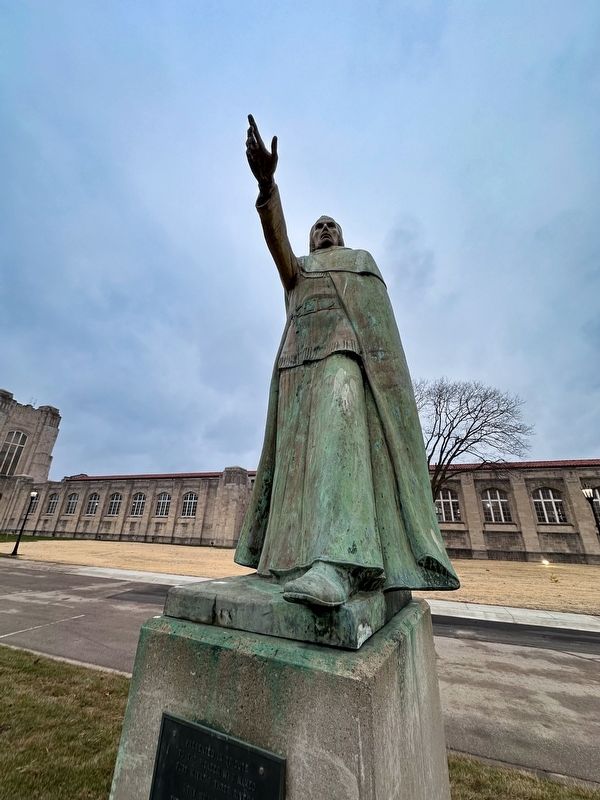
It is not known who named the rivers, but they probably were given their European names by an early, Catholic priest who passed through the area. The nearby statue is dedicated to that early churchman. The first clergyman known to have passed through the area was the Reverend Joseph Pierre de Bonnecamps, a professor of hydrography at the Jesuit College of Quebec, who visited the confluence of the rivers in 1749 on a scientific expedition.
Erected by Journal-Gazette Foundation.
Topics. This historical marker is listed in these topic lists: Anthropology & Archaeology • Native Americans • Settlements & Settlers • Waterways & Vessels. A significant historical year for this entry is 1795.
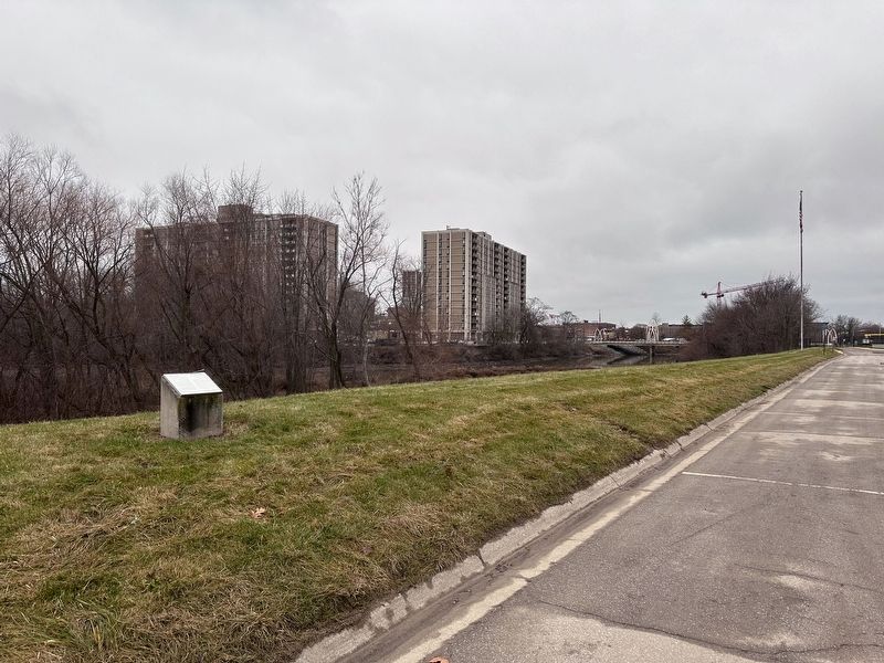
Location. 41° 5.059′ N, 85° 7.917′ W. Marker is in Fort Wayne, Indiana, in Allen County. It is in Spy Run. Marker can be reached from Rivergreenway, 0.1 miles east of Spy Run Avenue (U.S. 27), on the left when traveling east. Touch for map. Marker is at or near this postal address: 1100 Griswold Drive, Fort Wayne IN 46805, United States of America. Touch for directions.
Other nearby markers. At least 8 other markers are within walking distance of this marker. Three Rivers Water Filtration Plant (within shouting distance of this marker); a different marker also named Three Rivers Water Filtration Plant (approx. 0.2 miles away); Kekionga (approx. 0.2 miles away); Old Fort Wayne Well (approx. ¼ mile away); The Last Two American Forts / The Siege of 1812 (approx. ¼ mile away); Pirogue Landing (approx. ¼ mile away); The History of the Bell (approx. ¼ mile away); First Central Fire House (approx. ¼ mile away). Touch for a list and map of all markers in Fort Wayne.
Credits. This page was last revised on January 10, 2024. It was originally submitted on January 9, 2024, by J.T. Lambrou of New Boston, Michigan. This page has been viewed 76 times since then. Photos: 1, 2, 3, 4. submitted on January 9, 2024, by J.T. Lambrou of New Boston, Michigan. • Devry Becker Jones was the editor who published this page.


