Gambles Hill in Richmond, Virginia — The American South (Mid-Atlantic)
Haxall Headgates
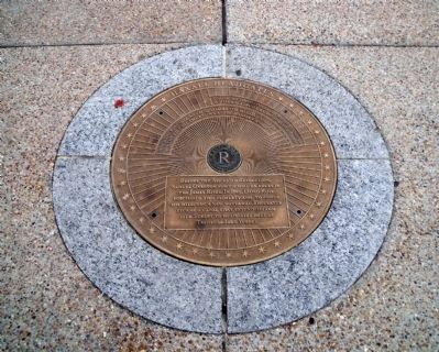
When the Ross Mill was acquired by the Haxall family in 1809, the race became known as the Haxall Canal.
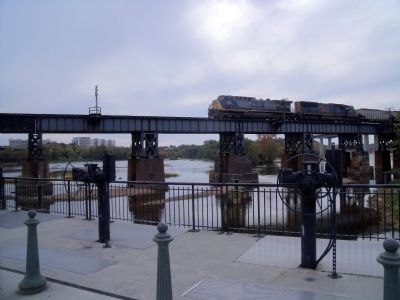
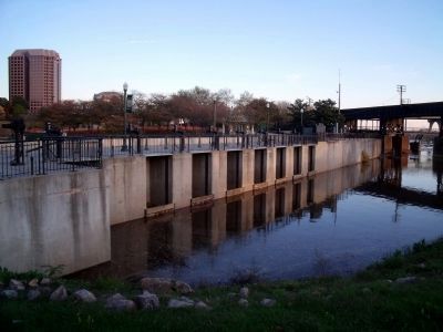
Before the American Revolution, Samuel Overton built a mill on rocks in the James River. In 1789, David Ross purchased this property and, to power his mill, dug a new waterway. This later became a canal that extended from 12th Street to headgates here at Tredegar Iron Works.
Erected by Richmond Riverfront Canal Walk.
Topics. This historical marker is listed in these topic lists: Colonial Era • Industry & Commerce • Settlements & Settlers • Waterways & Vessels. A significant historical year for this entry is 1789.
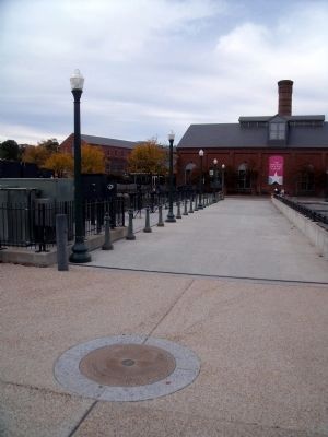
Location. 37° 32.069′ N, 77° 26.676′ W. Marker is in Richmond, Virginia. It is in Gambles Hill. Marker can be reached from the intersection of Tredegar Street and South 5th Street. This marker is on the Richmond Riverfront Canal Walk at Brown's Island. Touch for map. Marker is in this post office area: Richmond VA 23219, United States of America. Touch for directions.
Other nearby markers. At least 8 other markers are within walking distance of this marker. Belle Isle (within shouting distance of this marker); Potterfield Bridge (within shouting distance of this marker); Three Days in April 1865 (within shouting distance of this marker); Canal Walk / Historic Canals (within shouting distance of this marker); Joseph Reid Anderson (within shouting distance of this marker); Tredegar Iron Works (about 300 feet away, measured in a direct line); a different marker also named Tredegar Iron Works (about 300 feet away); Hurricane Agnes (about 300 feet away). Touch for a list and map of all markers in Richmond.
Also see . . .
1. Richmond’s Historic Canal Walk. Venture Richmond (Submitted on October 31, 2009.)
2. James River and Kanawha Canal Historic District. National Register of Historic Places (Submitted on October 31, 2009.)
Credits. This page was last revised on February 1, 2023. It was originally submitted on October 31, 2009, by Bernard Fisher of Richmond, Virginia. This page has been viewed 1,176 times since then and 49 times this year. Photos: 1, 2, 3. submitted on October 31, 2009, by Bernard Fisher of Richmond, Virginia. 4. submitted on November 4, 2009, by Bernard Fisher of Richmond, Virginia.


