Near Homer in Champaign County, Illinois — The American Midwest (Great Lakes)
Beginning of the Lincoln Circuit Trail
Abraham Lincoln - Eighth Judicial Circuit
Inscription.
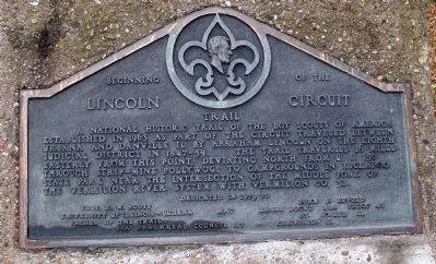
A National Historic trail of the Boy Scouts of America established in 1963 as part of the circuit traveled between Urbana and Danville, Il. By Abraham Lincoln on the Eighth Judicial District in 1847 - 1859.
The trail traverses 16 miles easterly from this point, deviating North from U. S. 150 through strip-mine pollywogs to campgrounds in Kickapoo State Park near the intersection of the Middle Fork of the Vermilion River system with Vermilion Co. 32.
Erected 1979 by BSA Troop 40 St. Joseph, Illinois, and BSA Arrowhead Council 117 Champaign, Illinois.
Topics and series. This historical marker is listed in these topic lists: Government & Politics • Parks & Recreational Areas • Roads & Vehicles. In addition, it is included in the Former U.S. Presidents: #16 Abraham Lincoln series list. A significant historical year for this entry is 1847.
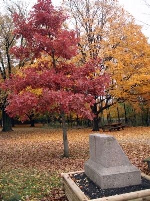
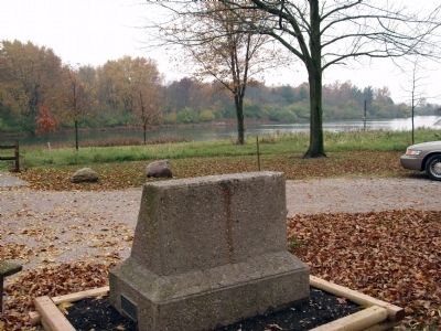
Location. 40° 4.544′ N, 87° 58.968′ W. Marker is near Homer, Illinois, in Champaign County. Marker is on Homer Lake Road (County Route 14) west of South Homer Lake Road (County Route 2575 E), on the right when traveling east. There is parking and a picnic table - fine place to have a lunch. Touch for map. Marker is in this post office area: Homer IL 61849, United States of America. Touch for directions.
Other nearby markers. At least 8 other markers are within 12 miles of this marker, measured as the crow flies. On The Bloomington Road / The Clark Neighborhood (a few steps from this marker); Abraham Lincoln - Eighth Judicial District (approx. 2.3 miles away); Lincoln at Kelley's Tavern (approx. 3.7 miles away); Abraham Lincoln - Eighth Judicial District / A Friend of Lincoln (approx. 4.8 miles away); Potawatomi Trail of Death (approx. 5.3 miles away); a different marker also named Potawatomi Trail of Death (approx. 5˝ miles away); Abraham Lincoln Forded Stony Creek (approx. 8.4 miles away); Site of German Lutheran Immanuel Church (approx. 11.3 miles away). Touch for a list and map of all markers in Homer.
Photographed By Larry Gertner
6. Travels with Lincoln
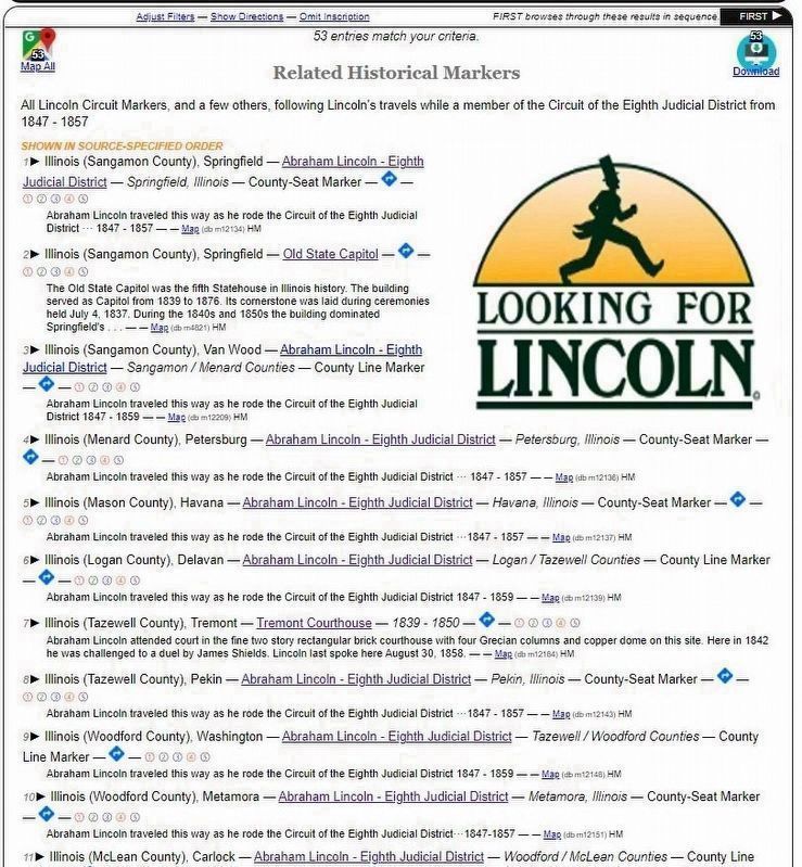
Climb into Lincoln’s buggy and take a trip with Lincoln and his fellow lawyers on the job traveling Illinois as Circuit Lawyers. See all the Lincoln Circuit Markers (and a surprise or two), in the order of his travels while a member of the Circuit of the Eighth Judicial District (of Illinois) during 1847-1857. Use the “First >>” button in the upper right to see these markers in sequence, starting from Springfield.
(Submitted by Al Wolf of Veedersburg, Indiana; November 1, 2009.)
Click for more information.
Credits. This page was last revised on October 11, 2021. It was originally submitted on November 1, 2009, by Al Wolf of Veedersburg, Indiana. This page has been viewed 2,049 times since then and 63 times this year. Photos: 1, 2, 3, 4, 5. submitted on November 1, 2009, by Al Wolf of Veedersburg, Indiana. 6. submitted on May 27, 2021, by Larry Gertner of New York, New York. • Kevin W. was the editor who published this page.
