Near Fort Towson in Choctaw County, Oklahoma — The American South (West South Central)
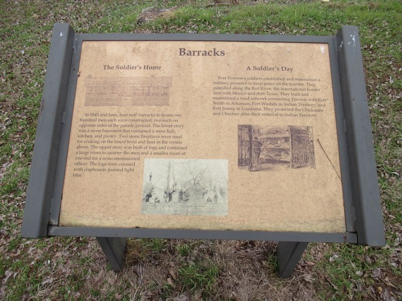
Barracks
Photographed by Jason Armstrong, January 28, 2023
1. Barracks Marker
The Soldier's Home
In 1843 and later, four new barracks to house one hundred men each were constructed, two each on opposite sides of the parade ground. The lower story was a stone basement that contained a mess hall, kitchen, and pantry. Tow stone fireplaces were used for cooking on the lower level and heat in the rooms above. The upper story was built of logs and contained a large room to quarter the men and a smaller room at one end for a noncommissioned officer. The logs were covered with clapboards painted light blue.
A Soldier's Day
Fort Towson's soldiers established and maintained a military presence to keep peace on the frontier. They patrolled along the Red River, the international border first with Mexico and then Texas. They built and maintained a road network connecting Towson with Fort Smith in Arkansas, Fort Washita in Indian Territory, and Fort Jessup in Louisiana. They protected the Chickasaw and Choctaw after their removal to Indian Territory.
Erected by Oklahoma Historical Society.
Topics. This historical marker is listed in these topic lists: Forts and Castles • Indigenous Peoples and Communities
this page online
Location. 34° 1.727′ N, 95° 15.343′ W. Marker is near Fort Towson, Oklahoma, in Choctaw County. It is on East 2060 Road 0.2 miles west of North 4375 Road, on the right when traveling west. The marker is located along the trail at the Old Fort Towson Historic Site. Touch for map. Marker is in this post office area: Fort Towson OK 74735, United States of America. Touch for directions.

Regionally, this marker is in the Choctaw Nation and in Southeast Oklahoma—Choctaw Country. It is also in the American South, specifically in the Piney Woods, on the prairies, and on the Southern Plains. Globally, it is in North America, the Western Hemisphere, the Western World, and the Anglosphere. Historically, it finds itself in what was once New Spain, the territory of the Mississippian Culture, and the Louisiana Purchase.
Other nearby markers. At least 8 other markers are within walking distance of this marker: Hospital and Commissary (within shouting distance of this marker); Officers' Row (about 400 feet away, measured in a direct line); Dorothy Jane Orton (about
Photographed by Jason Armstrong, January 28, 2023
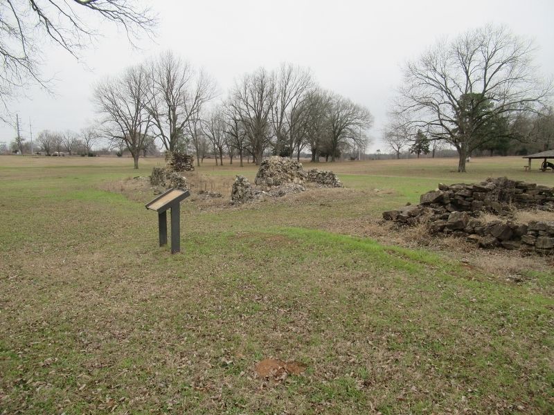
2. Barracks Marker Looking South
Also see . . . Fort Towson Historic Site. (Submitted on January 19, 2024, by Jason Armstrong of Talihina, Oklahoma.)
Photographed by Jason Armstrong, January 28, 2023
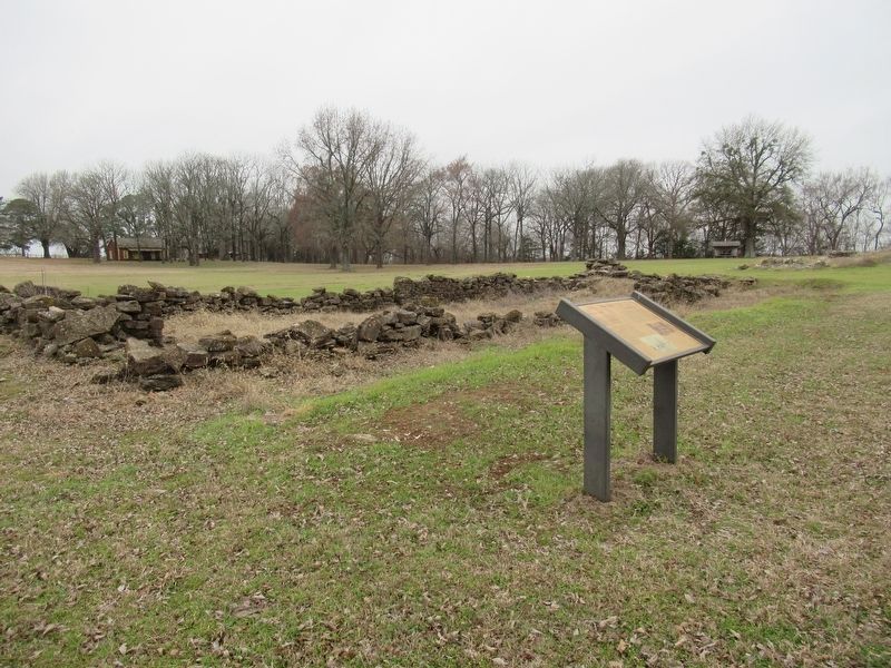
3. Barracks Marker Looking North
Credits. This page was last revised on January 19, 2024. It was originally submitted on January 17, 2024, by Jason Armstrong of Talihina, Oklahoma. This page has been viewed 220 times since then and 21 times this year. Photos: 1, 2, 3. submitted on January 17, 2024, by Jason Armstrong of Talihina, Oklahoma. • J. Makali Bruton was the editor who published this page.
